File:Pakistan location map.svg
Jump to navigation
Jump to search

ഈ SVG പ്രമാണത്തിന്റെ PNG പ്രിവ്യൂവിന്റെ വലിപ്പം: 750 × 599 പിക്സലുകൾ. മറ്റ് റെസലൂഷനുകൾ: 300 × 240 പിക്സലുകൾ | 601 × 480 പിക്സലുകൾ | 961 × 768 പിക്സലുകൾ | 1,280 × 1,023 പിക്സലുകൾ | 2,560 × 2,046 പിക്സലുകൾ | 2,365 × 1,890 പിക്സലുകൾ.
പൂർണ്ണ വലിപ്പം (എസ്.വി.ജി. പ്രമാണം, നാമമാത്രമായ 2,365 × 1,890 പിക്സലുകൾ, പ്രമാണത്തിന്റെ വലിപ്പം: 461 കെ.ബി.)
തലവാചകം
തലവാചകങ്ങൾ
ഈ പ്രമാണം എന്തിനെ പ്രതിനിധീകരിക്കുന്നുവെന്ന ഒറ്റവരി വിശദീകരണം ചേർക്കുക
Pakistan Map Location
ചുരുക്കം[തിരുത്തുക]
| വിവരണം |
Deutsch: Positionskarte von Pakistan
Quadratische Plattkarte, N-S-Streckung 115 %. Geographische Begrenzung der Karte:
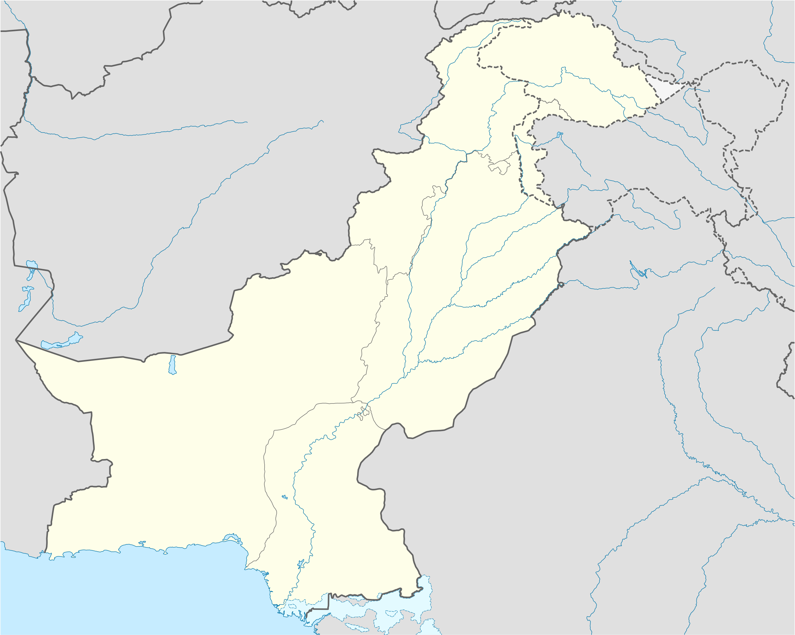
English: Location map of Pakistan
Equirectangular projection, N/S stretching 115 %. Geographic limits of the map:
|
||
| തീയതി | |||
| സ്രോതസ്സ് |
own work, using
|
||
| സ്രഷ്ടാവ് | NordNordWest | ||
| അനുമതി (ഈ പ്രമാണത്തിന്റെ പുനരുപയോഗം) |
ഈ സൃഷ്ടിയുടെ പകർപ്പവകാശ ഉടമയായ ഞാൻ, താഴെ പറയുന്ന അനുമതികളിൽ ഈ സൃഷ്ടി ഇതിനാൽ പ്രസിദ്ധീകരിക്കുന്നു:
ഈ പ്രമാണത്തിന് അനുമതി നൽകപ്പെട്ടിരിക്കുന്നത് ക്രിയേറ്റീവ് കോമൺസ് ആട്രിബ്യൂഷൻ-ഷെയർ എലൈക് 3.0 അൺപോർട്ടഡ് അനുവാദപത്ര പ്രകാരമാണ്.
താങ്കൾക്ക് താങ്കളുടെ ഇച്ഛാനുസരണം അനുമതി തിരഞ്ഞെടുക്കാം. |
||
| മറ്റു പതിപ്പുകൾ |
|


|
This map has been made or improved in the German Kartenwerkstatt (Map Lab). You can propose maps to improve as well.
|
പ്രമാണ നാൾവഴി
ഏതെങ്കിലും തീയതി/സമയ കണ്ണിയിൽ ഞെക്കിയാൽ പ്രസ്തുതസമയത്ത് ഈ പ്രമാണം എങ്ങനെയായിരുന്നു എന്നു കാണാം.
| തീയതി/സമയം | ലഘുചിത്രം | അളവുകൾ | ഉപയോക്താവ് | അഭിപ്രായം | |
|---|---|---|---|---|---|
| നിലവിലുള്ളത് | 16:00, 5 നവംബർ 2020 | | 2,365 × 1,890 (461 കെ.ബി.) | NordNordWest (സംവാദം | സംഭാവനകൾ) | small correction |
| 08:42, 1 ജൂൺ 2020 |  | 2,365 × 1,890 (459 കെ.ബി.) | NordNordWest (സംവാദം | സംഭാവനകൾ) | c | |
| 12:06, 9 ജൂൺ 2018 |  | 2,365 × 1,890 (771 കെ.ബി.) | Mar4d (സംവാദം | സംഭാവനകൾ) | The map is correct as it shows the de facto position | |
| 04:34, 24 ഏപ്രിൽ 2017 |  | 2,365 × 1,890 (462 കെ.ബി.) | फ़िलप्रो (സംവാദം | സംഭാവനകൾ) | Siachen Glacier under Indian control | |
| 13:36, 31 ഒക്ടോബർ 2008 |  | 2,365 × 1,890 (771 കെ.ബി.) | NordNordWest (സംവാദം | സംഭാവനകൾ) | Kashmir completely | |
| 18:34, 28 ഒക്ടോബർ 2008 |  | 2,105 × 1,890 (653 കെ.ബി.) | NordNordWest (സംവാദം | സംഭാവനകൾ) | ||
| 21:20, 27 സെപ്റ്റംബർ 2008 |  | 2,105 × 1,890 (650 കെ.ബി.) | NordNordWest (സംവാദം | സംഭാവനകൾ) | {{Information |Description= {{de|Positionskarte von Pakistan}} Quadratische Plattkarte, N-S-Streckung 115 %. Geographische Begrenzung der Karte: * N: 37.3° N * S: 23.4° N * W: 60.5° O * O: 78.3° O {{en|Location map of [[:en:Pakistan|P |
ഈ പ്രമാണത്തിനു മുകളിൽ മറ്റൊരു പ്രമാണം ചേർക്കാൻ താങ്കൾക്ക് കഴിയില്ല.
പ്രമാണത്തിന്റെ ഉപയോഗം
താഴെ കാണുന്ന 42 താളുകളിൽ ഈ ചിത്രം ഉപയോഗിക്കുന്നു:
- Maps of Pakistan
- User:NordNordWest/Gallery/Location maps
- File:Azad Kashmir in Pakistan.svg
- File:Azad Kashmir in Pakistan (claims hatched).svg
- File:Azad Kashmir in Pakistan (disputed hatched).svg
- File:Azad Kashmir in Pakistan (disputed hatched) (claims hatched).svg
- File:Balochistan in Pakistan.svg
- File:Balochistan in Pakistan (claims hatched).svg
- File:Federally Administered Tribal Areas in Pakistan.svg
- File:Federally Administered Tribal Areas in Pakistan (claims hatched).svg
- File:Gilgit-Baltistan in Pakistan (de-facto + Glacier).svg
- File:Gilgit-Baltistan in Pakistan (de-facto + Glacier) (claims hatched).svg
- File:Gilgit-Baltistan in Pakistan (de-facto + Glacier) (disputed hatched).svg
- File:Gilgit-Baltistan in Pakistan (de-facto + Glacier) (disputed hatched) (claims hatched).svg
- File:Gilgit-Baltistan in Pakistan (de-facto + glacier claims)) (disputed hatched).svg
- File:Gilgit-Baltistan in Pakistan (de-facto + glacier claims).svg
- File:Gilgit-Baltistan in Pakistan (de-facto + glacier claims) (disputed hatched).svg
- File:Gilgit-Baltistan in Pakistan (de-facto + wo Glacier).svg
- File:Gilgit-Baltistan in Pakistan (de-facto + wo Glacier) (claims hatched).svg
- File:Gilgit-Baltistan in Pakistan (de-facto + wo Glacier) (disputed hatched).svg
- File:Gilgit-Baltistan in Pakistan (de-facto + wo Glacier) (disputed hatched) (claims hatched).svg
- File:Indian administered Kashmir in Pakistan.svg
- File:Indian administered Kashmir in Pakistan (claims hatched).svg
- File:Indian administered Kashmir in Pakistan (hatched).svg
- File:Indian administered Kashmir in Pakistan (hatched) (claims hatched).svg
- File:Islamabad Capital Territory in Pakistan.svg
- File:Islamabad Capital Territory in Pakistan (claims hatched).svg
- File:Islamabad Capital Territory in Pakistan (special marker).svg
- File:Islamabad Capital Territory in Pakistan (special marker) (claims hatched).svg
- File:Khyber Pakhtunkhwa in Pakistan.svg
- File:Khyber Pakhtunkhwa in Pakistan (claims hatched).svg
- File:LocationmapPakistan.png
- File:NATO supply routes through Pakistan.svg
- File:Pakistan location map2.svg
- File:Pakistan relief location map.jpg
- File:Punjab in Pakistan.svg
- File:Punjab in Pakistan (claims hatched).svg
- File:Siachen Glacier in Pakistan (hatched).svg
- File:Siachen Glacier in Pakistan (hatched) (claims hatched).svg
- File:Sindh in Pakistan.svg
- File:Sindh in Pakistan (claims hatched).svg
- File talk:India Jammu and Kashmir state location map.svg
.svg)
.svg)
_(claims_hatched).svg)
.svg)
.svg)
.svg)
_(claims_hatched).svg)
_(disputed_hatched).svg)
_(disputed_hatched)_(claims_hatched).svg)
)_(disputed_hatched).svg)
.svg)
_(disputed_hatched).svg)
.svg)
_(claims_hatched).svg)
_(disputed_hatched).svg)
_(disputed_hatched)_(claims_hatched).svg)
.svg)
.svg)
_(claims_hatched).svg)
.svg)
.svg)
_(claims_hatched).svg)
.svg)
.svg)
.svg)
_(claims_hatched).svg)
.svg)
പ്രമാണത്തിന്റെ ആഗോള ഉപയോഗം
താഴെ കൊടുത്തിരിക്കുന്ന മറ്റ് വിക്കികൾ ഈ പ്രമാണം ഉപയോഗിക്കുന്നു:
- af.wikipedia.org സംരംഭത്തിലെ ഉപയോഗം
- als.wikipedia.org സംരംഭത്തിലെ ഉപയോഗം
- ar.wikipedia.org സംരംഭത്തിലെ ഉപയോഗം
- قالب:خريطة مواقع باكستان
- موجة الحر الباكستانية 2015
- قالب:خريطة مواقع التراث العالمي في باكستان
- بوابة:التراث العالمي/خريطة مختارة
- وحدة:Location map/data/Pakistan
- وحدة:Location map/data/Pakistan/شرح
- تفجير باراتشينار 2017
- تفجيرات باكستان (يونيو 2017)
- قائمة العواصم في باكستان
- تفجير بيشاور 2018
- مذبحة غلغت 1988
- ast.wikipedia.org സംരംഭത്തിലെ ഉപയോഗം
- Islamabad
- Karachi
- Lahore
- K2
- Nanga Parbat
- Gasherbrum I
- Broad Peak
- Gasherbrum II
- Pasu de Khunjerab
- Chitral
- Badshahi Masjid
- Faisalabad
- Gujranwala
- Sialkot
- Módulu:Mapa de llocalización/datos/Paquistán
- Módulu:Mapa de llocalización/datos/Paquistán/usu
- Universidá Aga Khan
- Autoridá d'aviación civil de Paquistán
- Puertu Qasim
- Puertu de Gwadar
- Puertu de Karachi
- Sha Bandar
- azb.wikipedia.org സംരംഭത്തിലെ ഉപയോഗം
ഈ പ്രമാണത്തിന്റെ കൂടുതൽ ആഗോള ഉപയോഗം കാണുക.