File:Pennsylvania Locator Map.PNG
Vai alla navigazione
Vai alla ricerca
Dimensioni di questa anteprima: 800 × 460 pixel. Altre risoluzioni: 320 × 184 pixel | 640 × 368 pixel | 964 × 554 pixel.
File originale (964 × 554 pixel, dimensione del file: 13 KB, tipo MIME: image/png)
Didascalie
Didascalie
Aggiungi una brevissima spiegazione di ciò che questo file rappresenta
Dettagli[modifica]
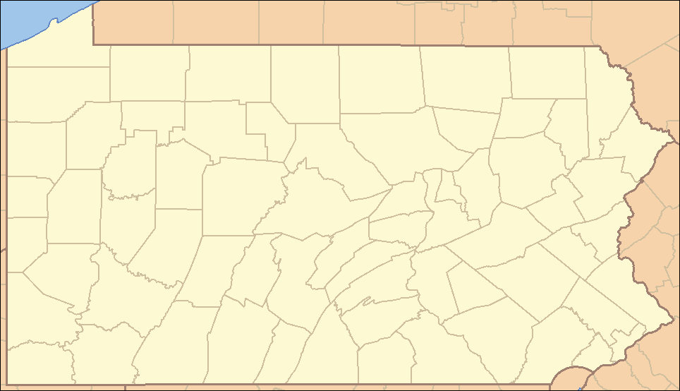
| Descrizione | Locator Map of Pennsylvania, United States |
| Data | |
| Fonte | taken from US Census website [1] and modified by User:Ruhrfisch |
| Autore | US Census, Ruhrfisch |
| Licenza (Riusare questo file) |
US Census / US Government work is public domain, myations licensed under the GNU Free Documentation License |
| Altre versioni |
Opere derivate da questo file: Location Caln Township.png four (with slightly different color schemes or smaller size), a vector version is at Image:Pennsylvania Locator Map.svg |
Licenza[modifica]
I, Ruhrfisch, detentore del copyright su quest'opera, dichiara di pubblicarla con le seguenti licenze:

|
È permesso copiare, distribuire e/o modificare questo documento in base ai termini della GNU Free Documentation License, Versione 1.2 o successive pubblicata dalla Free Software Foundation; senza alcuna sezione non modificabile, senza testo di copertina e senza testo di quarta di copertina. Una copia della licenza è inclusa nella sezione intitolata Testo della GNU Free Documentation License. |
| Questo file è disponibile in base alla licenza Creative Commons Attribuzione-Condividi allo stesso modo 3.0 Unported | ||
| Attribuzione: I, Ruhrfisch | ||
| ||
| Questo tag di copyright è stato aggiunto nell'ambito dell'aggiornamento della licenza dei progetti Wikimedia. |
Questo file è disponibile in base alla licenza Creative Commons Attribuzione-Condividi allo stesso modo 2.5 Generico
Attribuzione: I, Ruhrfisch
- Tu sei libero:
- di condividere – di copiare, distribuire e trasmettere quest'opera
- di modificare – di adattare l'opera
- Alle seguenti condizioni:
- attribuzione – Devi fornire i crediti appropriati, un collegamento alla licenza e indicare se sono state apportate modifiche. Puoi farlo in qualsiasi modo ragionevole, ma non in alcun modo che suggerisca che il licenziante approvi te o il tuo uso.
- condividi allo stesso modo – Se remixi, trasformi o sviluppi il materiale, devi distribuire i tuoi contributi in base alla stessa licenza o compatibile all'originale.
Puoi scegliere la licenza che preferisci.
and
This image or file is a work of a United States Census Bureau employee, taken or made as part of that person's official duties. As a work of the U.S. federal government, the image is in the public domain.
|
 |
Cronologia del file
Fare clic su un gruppo data/ora per vedere il file come si presentava nel momento indicato.
| Data/Ora | Miniatura | Dimensioni | Utente | Commento | |
|---|---|---|---|---|---|
| attuale | 22:35, 22 mar 2009 | | 964 × 554 (13 KB) | Mahahahaneapneap (discussione | contributi) | Compressed |
| 15:47, 5 set 2007 |  | 964 × 554 (35 KB) | Ruhrfisch (discussione | contributi) | Very minor fixes of a dozen or so incorrectly colored pixels in the body of the map (no border information pixels changed). All other information the same. | |
| 04:07, 25 apr 2007 |  | 964 × 554 (35 KB) | Ruhrfisch (discussione | contributi) | {{Information| |Description= Locator Map of Pennsylvania, United States |Source= taken from US Census website [http://factfinder.census.gov/] and modified by User:Ruhrfisch |Date= April 2007 |Author= US Census, Ruhrfisch |Permission= US Census / US G | |
| 01:25, 23 apr 2007 |  | 964 × 554 (35 KB) | Ruhrfisch (discussione | contributi) | {{Information| |Description= Locator Map of Pennsylvania, United States |Source= taken from US Census website [http://factfinder.census.gov/] and modified by User:Ruhrfisch |Date= APril 2007 |Author= US Census, Ruhrfisch |Permission= US Census / US G | |
| 05:07, 9 apr 2007 |  | 962 × 552 (35 KB) | Ruhrfisch (discussione | contributi) | {{Information| |Description= Locator Map of Pennsylvania, United States |Source= taken from US Census website [http://factfinder.census.gov/] and modified by User:Ruhrfisch |Date= April 2007 |Author= US Census, Ruhrfisch |Permission= US Census / US G | |
| 04:50, 9 apr 2007 |  | 327 × 193 (8 KB) | Ruhrfisch (discussione | contributi) | {{Information| |Description= Locator Map of Pennsylvania, United States |Source= taken from US Census website [http://factfinder.census.gov/] and modified by User:Ruhrfisch |Date= April 2007 |Author= US Census, Ruhrfisch |Permission= US Census / US G | |
| 12:59, 28 lug 2006 |  | 288 × 168 (26 KB) | Ruhrfisch (discussione | contributi) | {{Information| |Description= Locator Map of Pennsylvania, United States |Source= taken from US Census website [http://factfinder.census.gov/] and modified by User:Ruhrfisch |Date= July 2006 |Author= US Census, Ruhrfisch |Permission= US Census / US Go |
Impossibile sovrascrivere questo file.
Utilizzo del file
La seguente pagina usa questo file:
Utilizzo globale del file
Anche i seguenti wiki usano questo file:
- Usato nelle seguenti pagine di ceb.wikipedia.org:
- Usato nelle seguenti pagine di de.wikipedia.org:
- Usato nelle seguenti pagine di en.wikipedia.org:
- List of Pennsylvania state parks
- User talk:Decumanus
- User talk:Bcasterline
- User:Ruhrfisch/Sandbox
- User talk:Choess/Archive4
- User talk:Tompw/archive2
- Template:State parks of Pennsylvania map
- User:Ruhrfisch/Pages
- User talk:Ruhrfisch/Archive4
- User talk:Qjuad/Archive 1
- User:IvoShandor/Recognitions
- User talk:VerruckteDan/Archive3
- User talk:Michaelas10/Archive/Archive 04
- User:Gerry D/archive2
- User talk:AceYYC/Archive2
- User talk:IvoShandor/Archive Apr 2007
- User talk:Underneath-it-All/Archive05
- User:Gerry D/archive3
- User talk:VerruckteDan/Archive4
- User:Ruhrfisch
- User talk:AndyZ/Archive 7
- User talk:Zntrip/Archive 1
- User:Sebwite/posmap
- User talk:Nationalparks/Archive 2
- Usato nelle seguenti pagine di es.wikipedia.org:
- Usato nelle seguenti pagine di fa.wikipedia.org:
- کربندیل، پنسیلوانیا
- چستر، پنسیلوانیا
- کوتسویل، پنسیلوانیا
- کونلسویل، پنسیلوانیا
- کاری، پنسیلوانیا
- ایری، پنسیلوانیا
- فارل، پنسیلوانیا
- هرمیتاژ، پنسیلوانیا
- مککیسپورت، پنسیلوانیا
- مادویل، پنسیلوانیا
- مانسن، پنسیلوانیا
- مونانگاهلا، پنسیلوانیا
- نیوکاسل، پنسیلوانیا
- شارون، پنسیلوانیا
- تیتوسویل، پنسیلوانیا
- انیونتاوون، پنسیلوانیا
- وارن، پنسیلوانیا
- واشینگتن، پنسیلوانیا
- الگو:Geobox locator Pennsylvania
- ناقوس آزادی
- چستربروک، پنسیلوانیا
Visualizza l'utilizzo globale di questo file.