File:Relief Map of Southern Federal District-(Crimea disputed).jpg
Jump to navigation
Jump to search
Size of this preview: 781 × 599 pixels. Other resolutions: 313 × 240 pixels | 626 × 480 pixels | 1,001 × 768 pixels | 1,200 × 921 pixels.
Original file (1,200 × 921 pixels, file size: 550 KB, MIME type: image/jpeg)
Captions
Captions
Add a one-line explanation of what this file represents
Summary
[edit].jpg&action=edit§ion=1)
| Description |
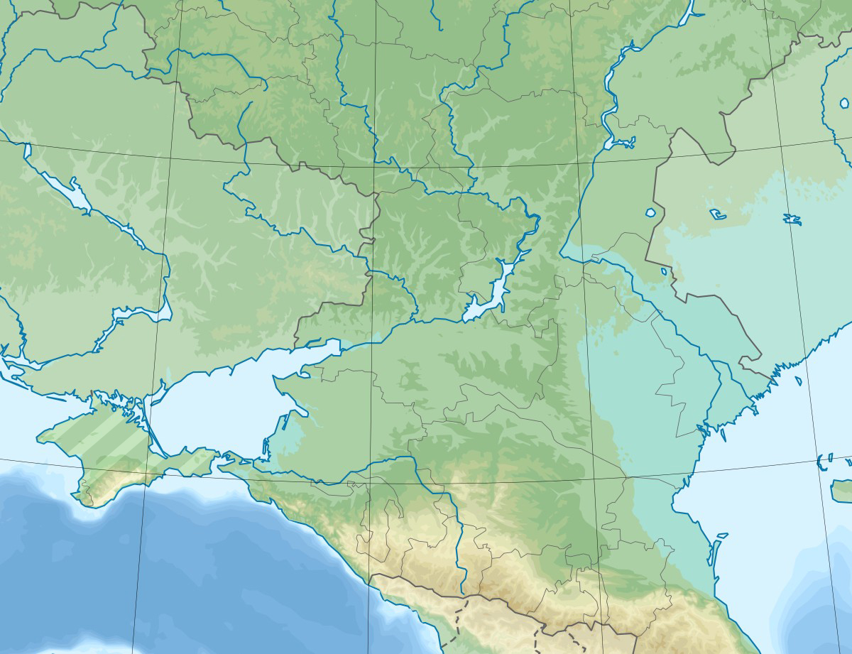
English: Physical map of the Southern Federal District in Russia. |
| Date | |
| Source |
This file was derived from: Relief Map of Southern Federal District.jpg: |
| Author |
|
| This is a retouched picture, which means that it has been digitally altered from its original version. Modifications: Hatched Crimea. The original can be viewed here: Relief Map of Southern Federal District.jpg:
|
Licensing
[edit].jpg&action=edit§ion=2)
I, the copyright holder of this work, hereby publish it under the following license:
This file is licensed under the Creative Commons Attribution-Share Alike 3.0 Unported license.
- You are free:
- to share – to copy, distribute and transmit the work
- to remix – to adapt the work
- Under the following conditions:
- attribution – You must give appropriate credit, provide a link to the license, and indicate if changes were made. You may do so in any reasonable manner, but not in any way that suggests the licensor endorses you or your use.
- share alike – If you remix, transform, or build upon the material, you must distribute your contributions under the same or compatible license as the original.
Original upload log
[edit].jpg&action=edit§ion=3)
This image is a derivative work of the following images:
- File:Relief Map of Southern Federal District.jpg licensed with Cc-by-sa-3.0
- 2020-02-11T06:43:24Z Takhirgeran Umar 1200x921 (210599 Bytes) Reverted to version as of 14:57, 28 July 2016 (UTC)
- 2020-01-28T19:19:14Z Takhirgeran Umar 3000x2700 (2548324 Bytes) об
- 2016-07-28T14:57:11Z Seryo93 1200x921 (210599 Bytes) null upload to force ruwiki thumbnail update
- 2016-07-28T14:38:30Z Hellerick 1200x921 (210599 Bytes) Better visible Crimean border.
- 2016-07-28T14:04:29Z Hellerick 1200x921 (210719 Bytes) Crimea included.
- 2013-09-13T03:47:59Z Hellerick 1200x1080 (294328 Bytes) User created page with UploadWizard
Uploaded with derivativeFX
File history
Click on a date/time to view the file as it appeared at that time.
| Date/Time | Thumbnail | Dimensions | User | Comment | |
|---|---|---|---|---|---|
| current | 14:53, 26 May 2020 | | 1,200 × 921 (550 KB) | Seryo93 (talk | contribs) | == {{int:filedesc}} == {{Information |Description={{en|1=Physical map of the Southern Federal District in Russia.}} |date=2020-06-26 |Source={{Derived from|Relief Map of Southern Federal District.jpg|display=50}} |Date=2020-05-26 14:53 (UTC) |Author=* File:Relief Map of Southern Federal District.jpg: Hellerick * derivative work: [[User:{{subst:REVISIONUSER}}|{{subst:REVISIONUSER}}]] |Permission= |other_versions= }} {{Re... |
You cannot overwrite this file.
File usage on Commons
There are no pages that use this file.
File usage on other wikis
The following other wikis use this file:
- Usage on az.wikipedia.org
- Usage on et.wikipedia.org
- Usage on fr.wikipedia.org
- Usage on inh.wikipedia.org
- Usage on kk.wikipedia.org
- Usage on os.wikipedia.org
- Usage on ru.wikipedia.org
- Калачская возвышенность
- Северский Донец
- Кубань (река)
- Ростовский заповедник
- Ахтуба
- Кумо-Манычская впадина
- Волгоградское водохранилище
- Прикаспийская низменность
- Чир (река)
- Ергени
- Сарпинские озёра
- Цимлянское водохранилище
- Чёрные земли (заповедник)
- Каменская ТЭЦ
- Сал (река)
- Маныч-Гудило
- Волго-Ахтубинская пойма
- Волго-Каспийский канал
- Маныч
- Пролетарское водохранилище
- Восточный Маныч
- Ростовский канал
- Чограйское водохранилище
- Шаблон:ПозКарта Россия Южный ФО
- Кара-Сал
- Барманцак
- Кубано-Приазовская низменность
- Ханата
- Деед-Хулсун
- Сарпа (озеро, у посёлка Цаган-Нур)
- Состинские озёра
- Цаца (озеро)
- Батыр-Мала
- Унгун-Тёречи (озеро)
- Чёрные Земли (пустыня)
- Маныч (озеро)
- Малый Маныч
- Калмыцко-Астраханская рисовая оросительная система
View more global usage of this file.
.jpg)
.jpg&oldid=775642558)