File:Reliefkarte Belgien.png
Jump to navigation
Jump to search

Size of this preview: 684 × 599 pixels. Other resolutions: 274 × 240 pixels | 548 × 480 pixels | 877 × 768 pixels | 1,169 × 1,024 pixels | 2,338 × 2,048 pixels | 2,808 × 2,460 pixels.
Original file (2,808 × 2,460 pixels, file size: 10.05 MB, MIME type: image/png)
Captions
Captions
Add a one-line explanation of what this file represents
Summary
[edit]| Description |
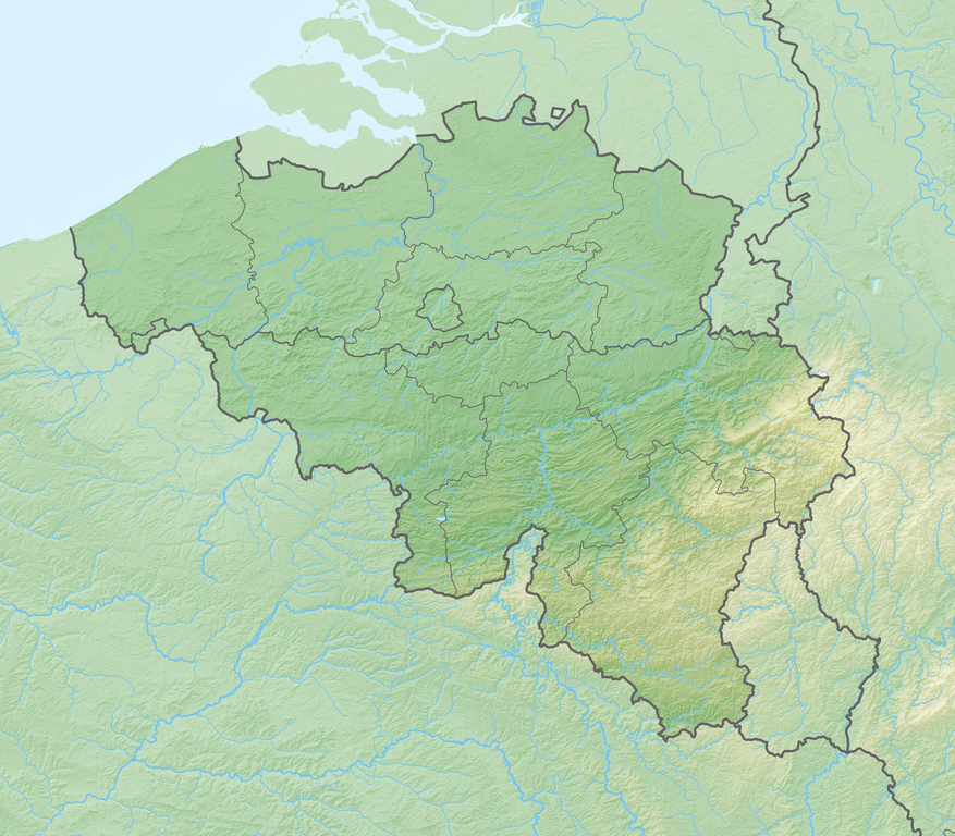
Deutsch: Reliefkarte Belgien
Topographischer Hintergrund: NASA Shuttle Radar Topography Mission (public domain). SRTM3 v.2. |
||||||||
| Date | |||||||||
| Source | Own work | ||||||||
| Author | Tschubby | ||||||||
| Permission (Reusing this file) |
I, the copyright holder of this work, hereby publish it under the following licenses:
This file is licensed under the Creative Commons Attribution-Share Alike 2.5 Generic, 2.0 Generic and 1.0 Generic license.
You may select the license of your choice. |

File history
Click on a date/time to view the file as it appeared at that time.
| Date/Time | Thumbnail | Dimensions | User | Comment | |
|---|---|---|---|---|---|
| current | 08:43, 2 April 2020 | | 2,808 × 2,460 (10.05 MB) | Tschubby (talk | contribs) | {{Information |description= |date= |source= |author= |permission= |other versions= }} |
| 08:33, 15 May 2018 |  | 2,813 × 2,464 (9.75 MB) | Tschubby (talk | contribs) | == {{int:filedesc}} == {{Information |Description= {{de| Reliefkarte Belgien}} Topographischer Hintergrund: [http://www2.jpl.nasa.gov/srtm NASA Shuttle Radar Topography Mission] (public domain). SRTM3 v.2. |Source={{own}} |Date= 2018-05-15 |Author= Tschubby |Permission= {{self|GFDL|Cc-by-sa-3.0-migrated|Cc-by-sa-2.5,2.0,1.0}} |other_versions= }} Category:Location maps of Belgium Category:Topographic maps of Belgium |
You cannot overwrite this file.
File usage on Commons
There are no pages that use this file.
File usage on other wikis
The following other wikis use this file:
- Usage on bg.wikipedia.org
- Брюге
- Шелда
- Антверпен
- Гент
- Шарлероа
- Лиеж
- Турне
- Алст
- Андерлехт
- Намюр
- Льовен
- Даме
- Бенш
- Мане
- Кортрейк
- Монс
- Макон (Белгия)
- Меле (Белгия)
- Ватерло
- Абе
- Схарбек
- Маасейк
- Ат
- Динан
- Ребек
- Иксел
- Остенде
- Дендермонде
- Бракел
- Уанз
- Юи
- Лесин
- Соани
- Понт а Сел
- Мускрон
- Тийлт-Винге
- Билзен
- Аудергем
- Ватермал - Босворде
- Форе
- Брехт
- Верлен
- Мехелен
- Клавие
- Мол (Белгия)
- Буйон
- Ерстал
- Бален
- Хобокен
- Брюкселски свободен университет
View more global usage of this file.