File:Reliefkarte Bhutan.png
Jump to navigation
Jump to search
Size of this preview: 800 × 519 pixels. Other resolutions: 320 × 208 pixels | 640 × 415 pixels | 1,024 × 665 pixels | 1,280 × 831 pixels | 2,205 × 1,431 pixels.
Original file (2,205 × 1,431 pixels, file size: 4.11 MB, MIME type: image/png)
Captions
Captions
Add a one-line explanation of what this file represents
Summary
[edit]| Description |
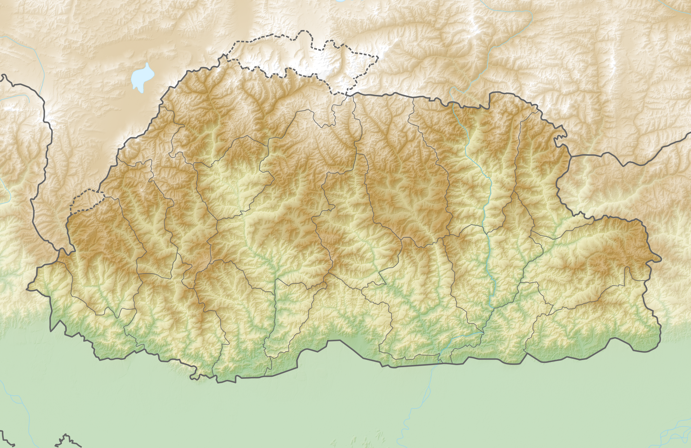
Deutsch: Reliefkarte Bhutan
Topographischer Hintergrund: NASA Shuttle Radar Topography Mission (public domain). SRTM3 v.2. |
||||||||
| Date | |||||||||
| Source | Own work | ||||||||
| Author | Tschubby | ||||||||
| Permission (Reusing this file) |
I, the copyright holder of this work, hereby publish it under the following licenses:
This file is licensed under the Creative Commons Attribution-Share Alike 2.5 Generic, 2.0 Generic and 1.0 Generic license.
You may select the license of your choice. |

File history
Click on a date/time to view the file as it appeared at that time.
| Date/Time | Thumbnail | Dimensions | User | Comment | |
|---|---|---|---|---|---|
| current | 14:36, 25 May 2018 | | 2,205 × 1,431 (4.11 MB) | Tschubby (talk | contribs) | == {{int:filedesc}} == {{Information |Description= {{de| Reliefkarte Bhutan}} Topographischer Hintergrund: [http://www2.jpl.nasa.gov/srtm NASA Shuttle Radar Topography Mission] (public domain). SRTM3 v.2.<br /> Grenzen: Bangladesh adm location map.svg |Source={{own}} |Date= 2018-05-25 |Author= Tschubby |Permission= {{self|GFDL|Cc-by-sa-3.0-migrated|Cc-by-sa-2.5,2.0,1.0}} |other_versions= }} Category:Location maps of Bhutan |
You cannot overwrite this file.
File usage on Commons
There are no pages that use this file.
File usage on other wikis
The following other wikis use this file:
- Usage on az.wikipedia.org
- Usage on bg.wikipedia.org
- Usage on da.wikipedia.org
- Usage on de.wikipedia.org
- Bhutan
- Gangkhar Puensum
- Kula Kangri
- Drukyel-Dzong
- Vorlage:Positionskarte Bhutan
- Chomolhari
- Wikipedia:Kartenwerkstatt/Positionskarten/Asien
- Dechencholing-Palast
- Wildschutzgebiet Phipsoo
- Kangphu Kang
- Melunghi Kang
- Tongshanjiabu
- Zongophu Kang
- Jichu Drake
- Tserim Kang
- Gangchenta
- Tsenda Kang
- Masang Kang
- Teri Kang
- Jejekangphu Kang
- Liangkang Kangri
- Chumhari Kang
- Gejag Kangri
- Wasserkraftwerk Tala
- Semtokha-Dzong
- Lhuentse-Dzong
- Punakha-Dzong
- Gasa-Dzong
- Wache-Dzong
- Benutzer:Wiki surfer bcr/Bhutan
- Jakar-Dzong
- Wangdue-Phodrang-Dzong
- Benutzer:Wiki surfer bcr/Bhutan/Trongsa-Dzong
- Benutzer:Wiki surfer bcr/Bhutan/Dobji-Dzong
- Benutzer:Tschubby/Reliefkarten
- Garula Kang
- Wasserkraftwerk Dagachhu
- Chura Kang
View more global usage of this file.