File:Romania Galati Location maps.gif
Jump to navigation
Jump to search
Size of this preview: 549 × 600 pixels. Other resolutions: 220 × 240 pixels | 440 × 480 pixels | 750 × 819 pixels.
Original file (750 × 819 pixels, file size: 1.02 MB, MIME type: image/gif, looped, 3 frames, 12 s)
Captions
Captions
Add a one-line explanation of what this file represents
Summary[edit]
| Description |
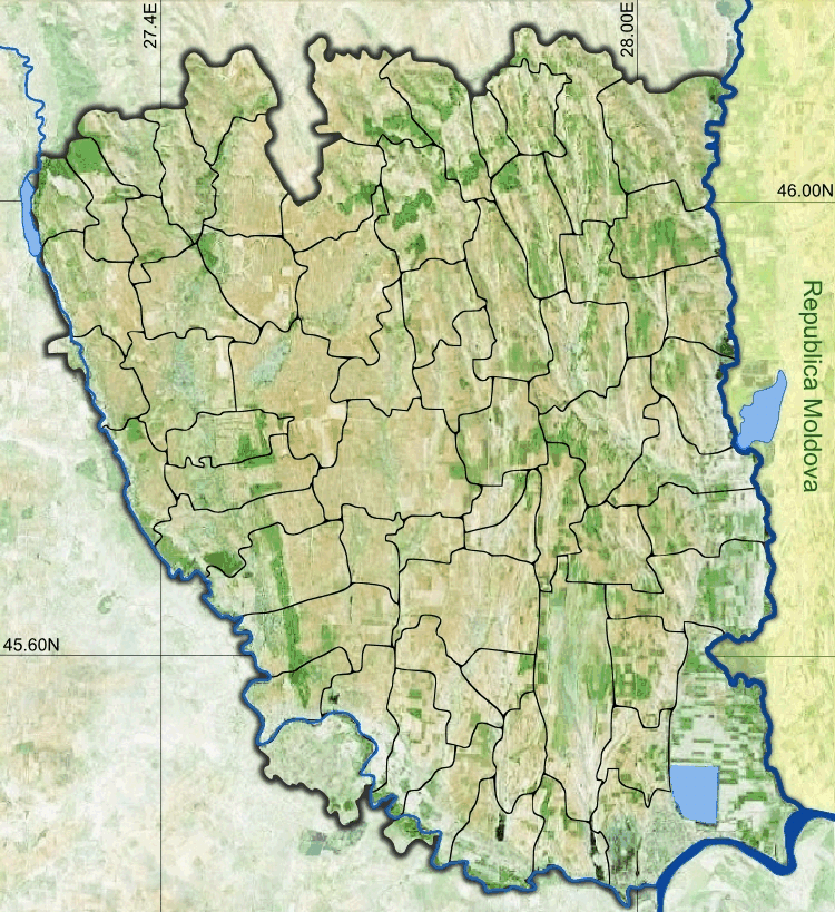
Română: Romania Galați Location maps. 46.175N 45.375S 27.2W 28.25E |
| Date | |
| Source |
|
| Author | Asybaris01 |
Licensing[edit]
| This image is in the public domain because it is a screenshot from NASA’s globe software World Wind using a public domain layer, such as Blue Marble, MODIS, Landsat, SRTM, USGS or GLOBE.
|
 |
File history
Click on a date/time to view the file as it appeared at that time.
| Date/Time | Thumbnail | Dimensions | User | Comment | |
|---|---|---|---|---|---|
| current | 08:13, 16 February 2015 | | 750 × 819 (1.02 MB) | Asybaris01 (talk | contribs) | User created page with UploadWizard |
You cannot overwrite this file.
File usage on Commons
There are no pages that use this file.
File usage on other wikis
The following other wikis use this file: