File:Senatorial and Imperial provinces mid 2nd century.png
Jump to navigation
Jump to search
Size of this preview: 800 × 551 pixels. Other resolutions: 320 × 221 pixels | 640 × 441 pixels | 1,024 × 706 pixels | 1,280 × 882 pixels | 2,052 × 1,414 pixels.
Original file (2,052 × 1,414 pixels, file size: 155 KB, MIME type: image/png)
Captions
Captions
Add a one-line explanation of what this file represents
| Description |
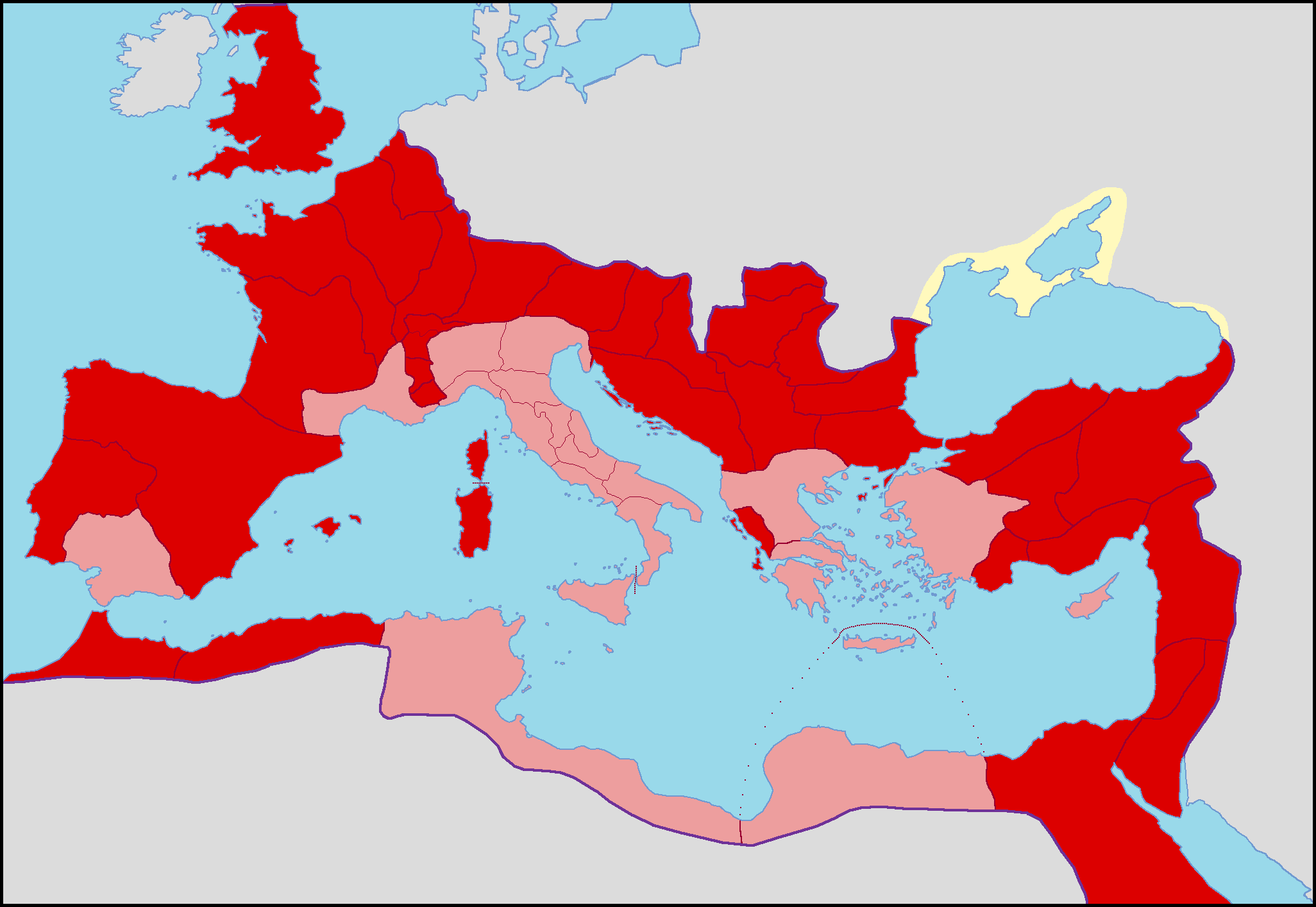
English: Map of the Roman Empire with differents colours for senatorial (pink) and imperial (red) provinces
Français : Carte de l'Empire romain sous le règne d'Antonin le Pieux avec les provinces sénatoriales et impériales de différentes couleurs.
Italiano: Carta dell'Impero Romano con colori differenti per le province senatorie (rosa) e imperiali (rosso) sotto il regno di Antonino Pio |
| Date | |
| Source | Own work |
| Author | Coldeel (talk) 13:34, 15 March 2009 (UTC) |
| Other versions | File:Blank Roman Empire.png |
Licensing[edit]
| I, the copyright holder of this work, release this work into the public domain. This applies worldwide. In some countries this may not be legally possible; if so: I grant anyone the right to use this work for any purpose, without any conditions, unless such conditions are required by law. |
File history
Click on a date/time to view the file as it appeared at that time.
| Date/Time | Thumbnail | Dimensions | User | Comment | |
|---|---|---|---|---|---|
| current | 13:31, 15 March 2009 | | 2,052 × 1,414 (155 KB) | ColdEel (talk | contribs) | Nouvelle version plus juste de l'Empire vers sous le règne d'Antonin le Pieux. |
| 17:14, 23 February 2009 |  | 1,600 × 1,096 (81 KB) | Mandrak (talk | contribs) | {{Information |Description=Map of the Roman Empire with differents colours for senatorial and imperial provinces |Source=*File:Romia_Imperio_sen_provinconomoj.png |Date=2009-02-23 17:13 (UTC) |Author=*File:Romia_Imperio_sen_provinconomoj.png: |
You cannot overwrite this file.
File usage on Commons
There are no pages that use this file.
File usage on other wikis
The following other wikis use this file:
- Usage on ca.wikipedia.org
- Usage on es.wikipedia.org
- Usage on fr.wikipedia.org
- Usage on it.wikipedia.org
- Usage on ro.wikipedia.org