File:Novi Belgii Novaeque Angliae - nec non partis Virginiae tabula multis in locis emendata LOC 97683561.tif
Jump to navigation
Jump to search

Size of this JPG preview of this TIF file: 712 × 600 pixels. Other resolutions: 285 × 240 pixels | 570 × 480 pixels | 912 × 768 pixels | 1,215 × 1,024 pixels | 2,431 × 2,048 pixels | 6,912 × 5,824 pixels.
Original file (6,912 × 5,824 pixels, file size: 115.17 MB, MIME type: image/tiff)
Captions
Captions
Add a one-line explanation of what this file represents
Summary[edit]
| Description |
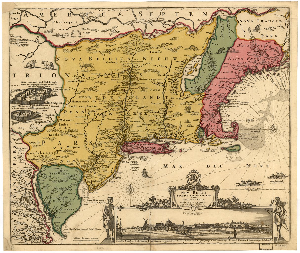
English: Stokes, Iconography, p. 147 (vol. 1), lists dates as 1651-55. See Map collectors circle, #24. Phillips, 465 Available also through the Library of Congress Web site as a raster image. Includes view "Nieuw Amsterdam op t eylant Manhattans." Vault |
||
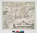
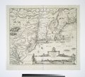
| Title | Novi Belgii Novaeque Angliae : nec non partis Virginiae tabula multis in locis emendata | ||
| Shelf ID | G3715 169- .V5 TIL | ||
| Date | circa 169 | ||
| Source | https://www.loc.gov/item/97683561/ | ||
| Author | Visscher, Nicolaes | ||
| Permission (Reusing this file) |
|
||
| Other versions |
|
||
| Location | New England. · New York. · New York City · New England · United States · Middle Atlantic States · Middle Atlantic States. · New York · New York (State) | ||
| Part of | American Memory · Catalog · Geography And Map Division · Discovery And Exploration | ||
| Subject | Aerial Views · New England · New York (N.Y.) · United States · Maps · Middle Atlantic States · New York · New York (State) |


.jpg)

.jpg)


Licensing[edit]
|
This is a faithful photographic reproduction of a two-dimensional, public domain work of art. The work of art itself is in the public domain for the following reason:
The official position taken by the Wikimedia Foundation is that "faithful reproductions of two-dimensional public domain works of art are public domain".
This photographic reproduction is therefore also considered to be in the public domain in the United States. In other jurisdictions, re-use of this content may be restricted; see Reuse of PD-Art photographs for details. | ||||
File history
Click on a date/time to view the file as it appeared at that time.
| Date/Time | Thumbnail | Dimensions | User | Comment | |
|---|---|---|---|---|---|
| current | 02:42, 30 May 2018 |  | 6,912 × 5,824 (115.17 MB) | Fæ (talk | contribs) | LOC Maps https://www.loc.gov/item/97683561/ #15351 |
You cannot overwrite this file.
File usage on Commons
The following 16 pages use this file:
- File:AMH-8632-NA Map of Nieuw Nederland featuring an inset showing Nieuw Amsterdam.jpg
- File:Atlas Maior - Novi Belgii - four colors.jpg
- File:Belgii Novi, Angliae Novae, et partis Virginiae (NYPL Hades-118550-54677).tif
- File:Belgii novi, angliae novae, et partis Virginiae - novissima delineatio. NYPL433965.tiff
- File:Dirk Jansz van Santen - map finish comparison.jpg
- File:Jansson-Visscher map.jpg
- File:Map-Novi Belgii Novæque Angliæ (Amsterdam, 1685).jpg
- File:NoviBelgii.jpg
- File:Novi Belgii Novaeque Angliae - nec non partis Virginiae tabula multis in locis emendata.jpg
- File:Novi Belgii Novaeque Angliae nec non Pennsylvaniae et partis Virginiae tabula - CBT 6625605.jpg
- File:Novi Belgii Novaeque Angliae nec non Pennsylvaniae et partis Virginiae tabula multis in locis emendata (NYPL Hades-118204-53909).tif
- File:Novi Belgii Novaeque Angliae nec non partis Virginiae tabula (NYPL b14946244-434503).jpg
- File:Novi Belgii Novaeque Angliae nec non partis Virginiae tabula (NYPL b14946244-434503).tiff
- File:Novi Belgii Novaeque Angliae nec non partis Virginiae tabula multis in locis emendata (NYPL Hades-118553-54680).tif
- File:View of New Amsterdam from the harbor.jpg
- File:Visscher - Novi Belgii Novaeque Angliae (Detail Nieuw Amsterdam).png
.png)
Metadata
Categories:
- Maps in the Library of Congress
- Adriaen van der Donck
- Maps made in the 17th century
- 1685 maps
- Maps of New England
- Old maps of New York (state)
- Maps of the Hudson River
- Old maps of New France
- Maps of Nieuw Nederland
- New Amsterdam
- Novi Belgii, Atlas Maior
- Maps by Nicolaes Visscher I
- Nicolaes Visscher II
- Dirk Janszoon van Santen
- Atlas Blaeu-Van der Hem
- Copper engravings
- Beavers in art