File:Wien - Schloss Belvedere, oberes (4).JPG
Jump to navigation
Jump to search

Size of this preview: 800 × 533 pixels. Other resolutions: 320 × 213 pixels | 640 × 427 pixels | 1,024 × 682 pixels | 1,280 × 853 pixels | 2,560 × 1,706 pixels | 4,134 × 2,755 pixels.
Original file (4,134 × 2,755 pixels, file size: 10.61 MB, MIME type: image/jpeg)
Captions
Captions
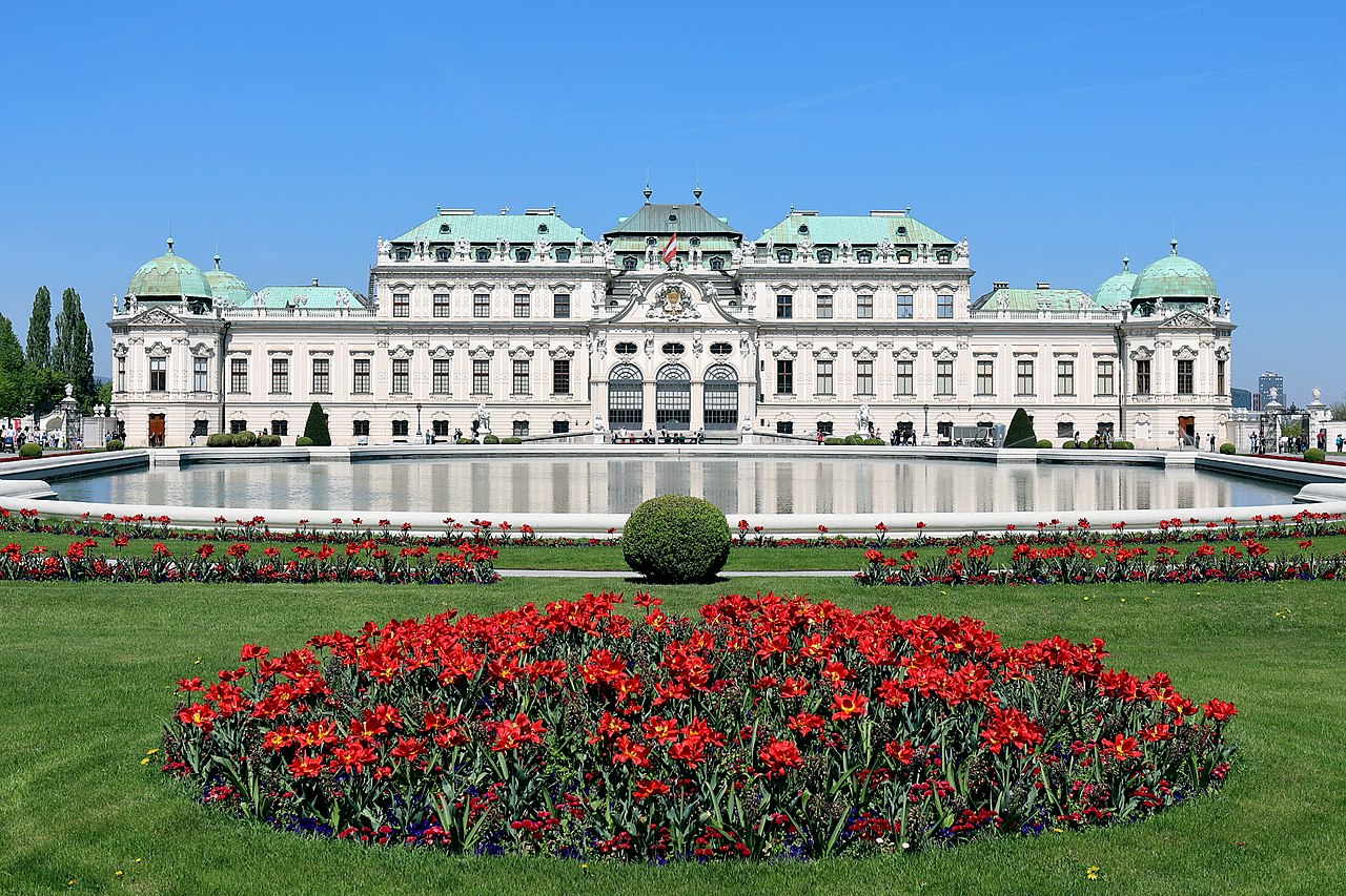
Upper Belvedere Palace in Vienna
Summary[edit]
| Description |
Deutsch: Südansicht des oberen Belvederes im 3. Wiener Gemeindebezirk Landstraße. Die barocke Schlossanlage ließ Prinz Eugen von Savoyen nach Plänen von Johann Lukas von Hildebrandt errichten. Das obere Belvedere diente ihm als Repräsentations- und Festschloss und wurde von 1717 bis 1723 gebaut. Zuvor ließ er von 1712 bis 1716 das untere Belvedere als Sommerwohnsitz errichten. Aktuell (2018) wird das untere Belvedere als auch das obere von der Österreichischen Galerie Belvedere genutzt. |
| Date | |
| Source | Own work |
| Author | C.Stadler/Bwag |
| Permission (Reusing this file) |
Deutsch: Hallo, du darfst mein Foto kostenlos nutzen, aber nenne mich bitte als Fotograf, beispielsweise „Foto: C.Stadler/Bwag“ oder © C.Stadler/Bwag; CC-BY-SA-4.0. Auf mehr Angaben bestehe ich nicht - im Gegensatz zu manch anderen, die die Vorgaben der unten angeführten Lizenzierung auf Punkt und Beistrich einfordern. English: Feel free to use my photos, but please mention me as the author like © C.Stadler/Bwag or © C.Stadler/Bwag; CC-BY-SA-4.0 (that's good enough) and if you want send me a message: bwag@gmx.net. |
| Other versions |
|
.JPG)
.JPG)
.JPG)
.JPG&action=edit§ion=1)
| Object location | | View this and other nearby images on: OpenStreetMap |
|---|
.JPG¶ms=048.194626_N_0016.380259_E_globe:Earth_class:object_type:object__&language=en)
| Camera location | | View this and other nearby images on: OpenStreetMap |
|---|
.JPG¶ms=048.189556_N_0016.381389_E_globe:Earth_type:camera_heading:350.00&language=en)
Licensing[edit]
.JPG&action=edit§ion=2)
I, the copyright holder of this work, hereby publish it under the following license:
This file is licensed under the Creative Commons Attribution-Share Alike 4.0 International license.
- You are free:
- to share – to copy, distribute and transmit the work
- to remix – to adapt the work
- Under the following conditions:
- attribution – You must give appropriate credit, provide a link to the license, and indicate if changes were made. You may do so in any reasonable manner, but not in any way that suggests the licensor endorses you or your use.
- share alike – If you remix, transform, or build upon the material, you must distribute your contributions under the same or compatible license as the original.
File history
Click on a date/time to view the file as it appeared at that time.
| Date/Time | Thumbnail | Dimensions | User | Comment | |
|---|---|---|---|---|---|
| current | 20:26, 22 April 2018 | | 4,134 × 2,755 (10.61 MB) | Bwag (talk | contribs) | wb |
| 20:13, 22 April 2018 |  | 4,134 × 2,755 (9.77 MB) | Bwag (talk | contribs) | {{Information |Description= {{de|1=Südansicht des oberen Belvederes im 3. Wiener Gemeindebezirk Landstraße.<br/>Die barocke Schlossanlage ließ Prinz Eugen von Savoyen nach Plänen von Johann Lukas von Hildebrandt errichten. Das obere Belvedere diente ihm als Repräsentations- und Festschloss und wurde von 1717 bis 1723 errichtet. Zuvor ließ er von 17... |
You cannot overwrite this file.
File usage on Commons
The following 3 pages use this file:
File usage on other wikis
The following other wikis use this file:
- Usage on ast.wikipedia.org
- Usage on da.wikipedia.org
- Usage on de.wikipedia.org
- Usage on en.wikipedia.org
- Usage on es.wikipedia.org
- Usage on fi.wikipedia.org
- Usage on fr.wikipedia.org
- Usage on gl.wikipedia.org
- Usage on it.wikipedia.org
- Usage on la.wikipedia.org
- Usage on ml.wikipedia.org
- Usage on no.wikipedia.org
- Usage on pcd.wikipedia.org
- Usage on pt.wikipedia.org
- Usage on ro.wikipedia.org
- Usage on ru.wikipedia.org
- Usage on simple.wikipedia.org
- Usage on sk.wikipedia.org
- Usage on sr.wikipedia.org
- Usage on tr.wikipedia.org
- Usage on uk.wikipedia.org
- Usage on vi.wikipedia.org
- Usage on zh.wikipedia.org
.JPG&oldid=706193672)