Category:1900s maps of Bulgaria
Jump to navigation
Jump to search
Media in category "1900s maps of Bulgaria"
The following 3 files are in this category, out of 3 total.
-
 Bulgarien BV044856354.jpg 4,000 × 3,745; 2.26 MB
-
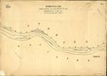 Фигуративни карти на река Дунав, 1908.pdf 900 × 647, 23 pages; 9.63 MB
-
 1909 map - Königreich Bulgarien und Türkisch Thrakien.jpg 22,041 × 16,720; 93.56 MB

