File:Europe laea location map.svg
Jump to navigation
Jump to search

Size of this PNG preview of this SVG file: 701 × 599 pixels. Other resolutions: 281 × 240 pixels | 561 × 480 pixels | 898 × 768 pixels | 1,198 × 1,024 pixels | 2,395 × 2,048 pixels | 1,401 × 1,198 pixels.
Original file (SVG file, nominally 1,401 × 1,198 pixels, file size: 2.21 MB)
Captions
Captions
Add a one-line explanation of what this file represents
Summary
[edit]| Description |
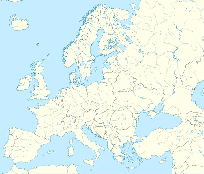
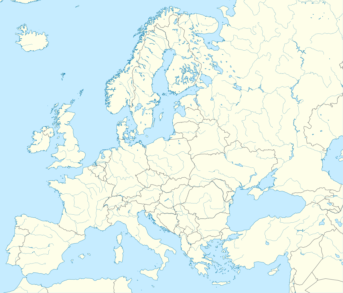
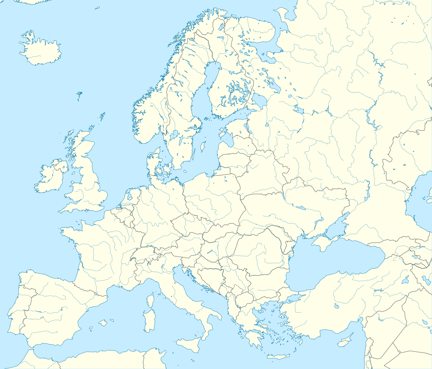
Deutsch: Positionskarte Europa; Politisch mit Staatsgrenzen, Inlandgewässer; Flächentreue Azimutalprojektion
English: Location map Europe; Political with state boundaries, inland water; Lambert azimuthal equal-area projection
Français : Carte de localisation Europe; Politique avec frontières d'Etats, mers intérieures; projection de Lambert azimuthale
Русский: Политическая карта Европы с границами государств и внутренними водами по состоянию на 2010 год (равновеликая азимутальная проекция Ламберта)
|
||
| Date | |||
| Source |
Own work
|
||
| Author | Alexrk2 | ||
| Other versions |
Derivative works of this file:
[]
|
||
| SVG development |
|


.svg)


Licensing
[edit]
I, the copyright holder of this work, hereby publish it under the following license:
This file is licensed under the Creative Commons Attribution-Share Alike 3.0 Unported license.
- You are free:
- to share – to copy, distribute and transmit the work
- to remix – to adapt the work
- Under the following conditions:
- attribution – You must give appropriate credit, provide a link to the license, and indicate if changes were made. You may do so in any reasonable manner, but not in any way that suggests the licensor endorses you or your use.
- share alike – If you remix, transform, or build upon the material, you must distribute your contributions under the same or compatible license as the original.
File history
Click on a date/time to view the file as it appeared at that time.
| Date/Time | Thumbnail | Dimensions | User | Comment | |
|---|---|---|---|---|---|
| current | 22:57, 20 August 2012 | | 1,401 × 1,198 (2.21 MB) | McZusatz (talk | contribs) | Reverted to version as of 19:40, 10 March 2010 (...thumb fixed?) |
| 22:56, 20 August 2012 |  | 1,401 × 1,198 (1.45 MB) | McZusatz (talk | contribs) | Reverted to version as of 18:44, 10 March 2010 (fixing thumb...) | |
| 19:40, 10 March 2010 |  | 1,401 × 1,198 (2.21 MB) | Alexrk2 (talk | contribs) | +San Marino, enh. coastline & countries | |
| 18:44, 10 March 2010 |  | 1,401 × 1,198 (1.45 MB) | Alexrk2 (talk | contribs) | == Summary == {{Information |Description= {{de|Positionskarte Europa; Politisch mit Staatsgrenzen, Inlandgewässer; Flächentreue Azimutalprojektion}} {{en|Location map Europe; Political with state boundaries, inland water; L |
You cannot overwrite this file.
File usage on Commons
More than 100 pages use this file. The following list shows the first 100 pages that use this file only. A full list is available.
- File:Abkhazia in Europe (de-facto).svg
- File:Abkhazia in Europe (de-facto) (-rivers -mini map).svg
- File:Akrotiri and Dhekelia in Europe.svg
- File:Akrotiri and Dhekelia in Europe (-rivers -mini map).svg
- File:Aland in Europe.svg
- File:Aland in Europe (-rivers -mini map).svg
- File:Albania in Europe.svg
- File:Albania in Europe (-rivers -mini map).svg
- File:Andorra in Europe.svg
- File:Andorra in Europe (-rivers -mini map).svg
- File:Armenia in Europe.svg
- File:Armenia in Europe (-rivers -mini map).svg
- File:Artsakh in Europe.svg
- File:Austria in Europe.svg
- File:Austria in Europe (-rivers -mini map).svg
- File:Austria in European Union.svg
- File:Azerbaijan in Europe.svg
- File:Azerbaijan in Europe (-rivers -mini map).svg
- File:Belarus in Europe.svg
- File:Belarus in Europe (-rivers -mini map).svg
- File:Belgium in Europe.svg
- File:Belgium in Europe (-rivers -mini map).svg
- File:Bosnia and Herzegovina in Europe.svg
- File:Bosnia and Herzegovina in Europe (-rivers -mini map).svg
- File:Bulgaria in Europe.svg
- File:Bulgaria in Europe (-rivers -mini map).svg
- File:Croatia in Europe.svg
- File:Croatia in Europe (-rivers -mini map).svg
- File:Cyprus in Europe.svg
- File:Cyprus in Europe (-rivers -mini map).svg
- File:Cyprus in Europe (de-facto).svg
- File:Cyprus in Europe (de-facto) (-rivers -mini map).svg
- File:Czech Republic in Europe.svg
- File:Czech Republic in Europe (-rivers -mini map).svg
- File:Denmark in Europe.svg
- File:Denmark in Europe (-rivers -mini map).svg
- File:Estonia in Europe.svg
- File:Estonia in Europe (-rivers -mini map).svg
- File:Europe EU laea location map.svg
- File:Europe blank laea location map.svg
- File:Europe bluemarble laea location map.jpg
- File:Europe laea location map.svg
- File:Europe laea location map with borders.svg (file redirect)
- File:Europe natural laea location map.jpg
- File:Europe relief laea location map.jpg
- File:Europe relief laea location map BG.png
- File:Faroe Islands in Europe.svg
- File:Faroe Islands in Europe (-rivers -mini map).svg
- File:Finland in Europe.svg
- File:Finland in Europe (-rivers -mini map).svg
- File:France in Europe.svg
- File:France in Europe (-rivers -mini map).svg
- File:France in Europe (relief).svg
- File:Georgia in Europe.svg
- File:Georgia in Europe (de-facto).svg
- File:Germany in Europe.svg
- File:Gibraltar in Europe.svg
- File:Greece in Europe.svg
- File:Guernsey in Europe.svg
- File:Hungary in Europe.svg
- File:Iceland in Europe.svg
- File:Ireland in Europe.svg
- File:Isle of Man in Europe.svg
- File:Italy in Europe.svg
- File:Jersey in Europe.svg
- File:Kazakhstan in Europe.svg
- File:Kingdom of Denmark in Europe.svg
- File:Kosovo in Europe (de-facto).svg
- File:Latvia in Europe.svg
- File:Liechtenstein in Europe.svg
- File:Lithuania in Europe.svg
- File:Luxembourg in Europe.svg
- File:Luxembourg in Europe (special marker).svg
- File:Macedonia in Europe.svg
- File:Malta in Europe.svg
- File:Moldova in Europe.svg
- File:Monaco in Europe.svg
- File:Montenegro in Europe.svg
- File:Netherlands in Europe.svg
- File:Northern Cyprus in Europe (de-facto).svg
- File:Norway in Europe.svg
- File:Poland in Europe.svg
- File:Portugal in Europe.svg
- File:Romania in Europe.svg
- File:Russia in Europe.svg
- File:San Marino in Europe.svg
- File:Serbia in Europe.svg
- File:Serbia in Europe (de-facto).svg
- File:Slovakia in Europe.svg
- File:Slovenia in Europe.svg
- File:South Ossetia in Europe (de-facto).svg
- File:Spain in Europe.svg
- File:Sweden in Europe.svg
- File:Switzerland in Europe.svg
- File:Transnistria in Europe.svg
- File:Transnistria in Europe (special marker).svg
- File:Turkey in Europe.svg
- File:Ukraine in Europe.svg
- File:United Kingdom in Europe.svg
- File:United Kingdom in Europe (wo crown dependencies).svg
.svg)
_(-rivers_-mini_map).svg)
.svg)
.svg)
.svg)
.svg)
.svg)
.svg)
.svg)
.svg)
.svg)
.svg)
.svg)
.svg)
.svg)
.svg)
_(-rivers_-mini_map).svg)
.svg)
.svg)
.svg)
.svg)
.svg)
.svg)
.svg)
.svg)
.svg)
.svg)
.svg)
.svg)
.svg)
.svg)
.svg)
View more links to this file.
File usage on other wikis
The following other wikis use this file:
- Usage on als.wikipedia.org
- Usage on an.wikipedia.org
- Usage on av.wikipedia.org
- Usage on az.wikipedia.org
- Dunay
- Reyn
- UEFA Çempionlar Liqası 1994/1995
- UEFA Çempionlar Liqası 2007/2008
- Şablon:Yer xəritəsi Avropa
- Aqriate
- Akkona (səhra)
- Bardenas-Reales
- Pişinas
- Tabernas (səhra)
- Aleşkov qumları
- Mançester Arenada terror (2017)
- Avropa Gənclər Olimpiya Festivalı
- UEFA Çempionlar Liqası 2017/2018
- Yan çayı
- UEFA Çempionlar Liqası 2018/2019
- Moneqros səhrası
- UEFA Çempionlar Liqası 2019/2020
- UEFA Çempionlar Liqası 2020/2021
- UEFA Çempionlar Liqası 2021/2022
- Usage on ba.wikipedia.org
View more global usage of this file.