File:Map of Shimane Prefecture Ja.svg

Original file (SVG file, nominally 394 × 375 pixels, file size: 32 KB)
Captions
Captions
Summary
[edit]
| Description |
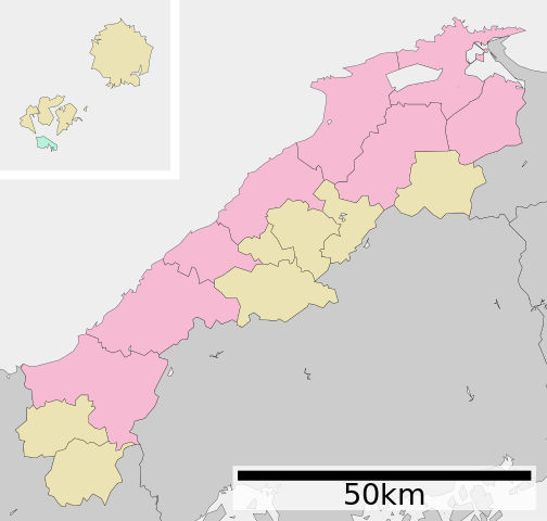
English: Map of Shimane Prefecture, Japan.
日本語: ja:島根県区画図 |
||
| Date | (UTC) | ||
| Source |
|
||
| Author | Lincun | ||
| Permission (Reusing this file) |
|
Licensing
[edit]

|
Permission is granted to copy, distribute and/or modify this document under the terms of the GNU Free Documentation License, Version 1.2 or any later version published by the Free Software Foundation; with no Invariant Sections, no Front-Cover Texts, and no Back-Cover Texts. A copy of the license is included in the section entitled GNU Free Documentation License. |
- You are free:
- to share – to copy, distribute and transmit the work
- to remix – to adapt the work
- Under the following conditions:
- attribution – You must give appropriate credit, provide a link to the license, and indicate if changes were made. You may do so in any reasonable manner, but not in any way that suggests the licensor endorses you or your use.
- share alike – If you remix, transform, or build upon the material, you must distribute your contributions under the same or compatible license as the original.
Original upload log
[edit]
| This file was moved from Japanese Wikipedia.
See below for original file information. | ||||||||||||||||||||||||||||||||||||||||||||
| ||||||||||||||||||||||||||||||||||||||||||||
|
| ||||||||||||||||||||||||||||||||||||||||||||
File history
Click on a date/time to view the file as it appeared at that time.
| Date/Time | Thumbnail | Dimensions | User | Comment | |
|---|---|---|---|---|---|
| current | 04:32, 4 December 2020 | | 394 × 375 (32 KB) | AichiWikiFixer (talk | contribs) | Update borders and fixes. |
| 10:58, 28 July 2013 |  | 610 × 580 (26 KB) | ニンジンシチュー (talk | contribs) | 線を細く変更(0.5→0.2) | |
| 10:57, 28 July 2013 |  | 610 × 580 (26 KB) | ニンジンシチュー (talk | contribs) | 線を細く変更(0.5→0.2) | |
| 03:07, 8 March 2013 |  | 610 × 579 (28 KB) | 猿払の天馬 (talk | contribs) | Change of a color,The display of distance is put in a map.,Hikawa-cho belonging to Hikawa district is merged with Izumo city.,Higashiizumo-cho belonging to Yatsuka district is merged with Matsue city. | |
| 02:53, 8 March 2013 |  | 610 × 579 (28 KB) | 猿払の天馬 (talk | contribs) | 色の変更・距離の表示を地図の中へ・簸川郡斐川町を出雲市と合併、八束郡東出雲町を松江市と合併。 | |
| 02:44, 30 April 2008 |  | 610 × 652 (13 KB) | Krisgrotius (talk | contribs) | {{Information| |Description= Map of Shimane Prefecture, Japan. |Source= Japanese wiki [http://ja.wikipedia.org/wiki/%E7%94%BB%E5%83%8F:%E5%8C%85%E6%8B%AC%E8%87%AA%E6%B2%BB%E4%BD%93%E5%8C%BA%E7%94%BB%E5%9B%B3_32000.svg] |Date=~~~~~ |Author=[[:ja: 利用 | |
| 12:25, 26 October 2007 |  | 610 × 652 (13 KB) | Lincun (talk | contribs) | {{基礎自治体位置図画像情報|島根県|}} |
You cannot overwrite this file.
File usage on Commons
The following 3 pages use this file:
- Maps of Shimane prefecture
- Shimane prefecture
- File:包括自治体区画図 32000.svg (file redirect)
File usage on other wikis
The following other wikis use this file:
- Usage on en.wikipedia.org
- Usage on hu.wikipedia.org
- Usage on ja.wikipedia.org
- Usage on ko.wikipedia.org
- Usage on nl.wikipedia.org
- Usage on pl.wikipedia.org
- Usage on ro.wikipedia.org
- Usage on sv.wikipedia.org
- Usage on th.wikipedia.org
- Usage on tr.wikipedia.org
- Usage on vi.wikipedia.org
- Usage on zh-classical.wikipedia.org
- Usage on zh.wikipedia.org