File:"MOTOYAMA AIRFIELD NO. 1" ""MOTOYAMA AIRFIELD NO. 2" OCTOBER 1944 MAP DETAIL, from- Iwo Jima Historical Map (Poster) (cropped).jpg
Jump to navigation
Jump to search

Size of this preview: 477 × 599 pixels. Other resolutions: 191 × 240 pixels | 382 × 480 pixels | 828 × 1,040 pixels.
Original file (828 × 1,040 pixels, file size: 381 KB, MIME type: image/jpeg)
Captions
Captions
Add a one-line explanation of what this file represents
Summary
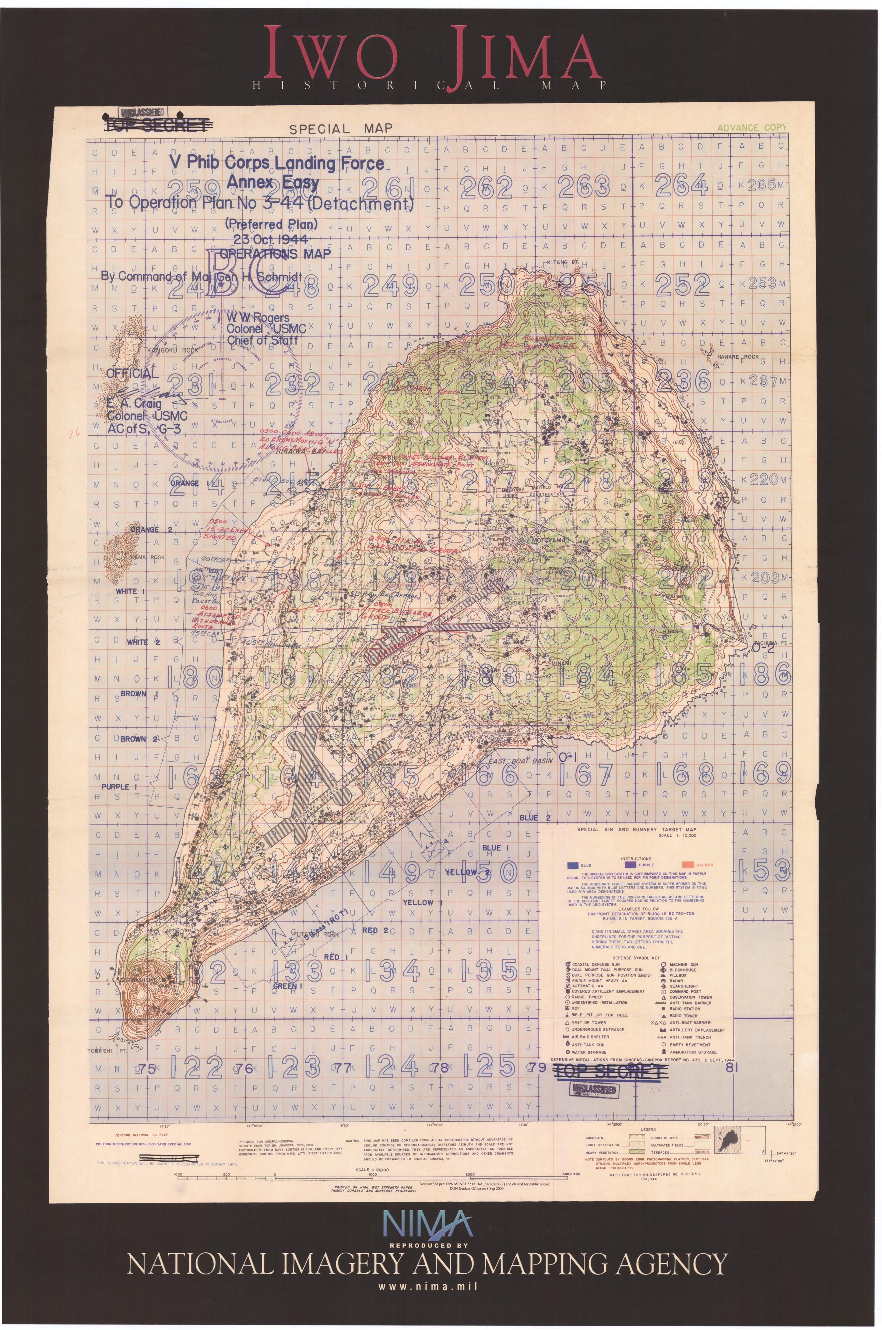
[edit]| Description | Iwo Jima Historical Map (Poster) |
| Source | www.lib.utexas.edu |
| Author | Post-Work: User:W.wolny |
| Permission (Reusing this file) |
maps were produced by the U.S. Army Center of Military History and National Imagery and Mapping Agency, therefore PD |
License
[edit]This file is a work of a U.S. Army soldier or employee, taken or made as part of that person's official duties. As a work of the U.S. federal government, it is in the public domain in the United States.
|
 |
.jpg)
_(cropped).jpg&action=edit§ion=1)
_(cropped).jpg&action=edit§ion=2)
File history
Click on a date/time to view the file as it appeared at that time.
| Date/Time | Thumbnail | Dimensions | User | Comment | |
|---|---|---|---|---|---|
| current | 19:50, 5 December 2019 | | 828 × 1,040 (381 KB) | Tibet Nation (talk | contribs) | File:Iwo Jima Historical Map (Poster).jpg cropped 65 % horizontally, 71 % vertically using CropTool with lossless mode. |
You cannot overwrite this file.
File usage on Commons
The following 3 pages use this file:
_(cropped).jpg&oldid=731834098)