File:'t-Landt-Van-Kessel(1664).png
Jump to navigation
Jump to search

Size of this preview: 800 × 600 pixels. Other resolutions: 320 × 240 pixels | 640 × 480 pixels | 1,024 × 768 pixels | 1,200 × 900 pixels.
Original file (1,200 × 900 pixels, file size: 2.43 MB, MIME type: image/png)
Captions
Captions
Add a one-line explanation of what this file represents
Summary
[edit].png&action=edit§ion=1)
| Description |
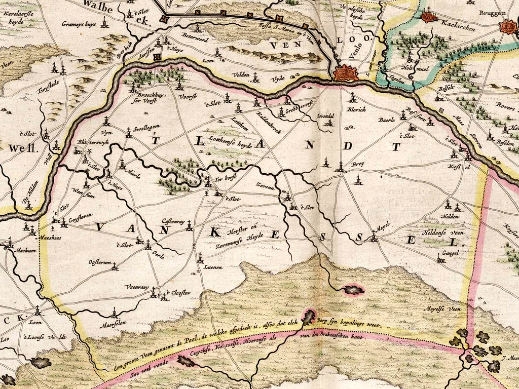
English: Map snippet of the Land of Kessel, Duchy of Guelders, Spanish Low Countries (1664).
Deutsch: Kartenausschnitt mit dem Land von Kessel, Herzogtum Geldern, Spanische Niederlande (1664).
Français : Carte du Pays de Kessel, Duché de Gueldre, Pays Bas Espagnols (1664).
Nederlands: Kaartuittreksel van een gedeelte van het Hertogdom Gelre met 't Landt van Kessel uit 1664. |
| Date | |
| Source | Atlas van Loon |
| Author | Unknown author |
| Other versions | Fragment van file:Tetrarchia Ducatus Gelriae Ruraemundensis (1664).jpg |
.jpg)
Licensing
[edit].png&action=edit§ion=2)
|
This work is in the public domain in its country of origin and other countries and areas where the copyright term is the author's life plus 100 years or fewer. This work is in the public domain in the United States because it was published (or registered with the U.S. Copyright Office) before January 1, 1929. | |
| This file has been identified as being free of known restrictions under copyright law, including all related and neighboring rights. | |
File history
Click on a date/time to view the file as it appeared at that time.
| Date/Time | Thumbnail | Dimensions | User | Comment | |
|---|---|---|---|---|---|
| current | 10:35, 28 January 2013 | | 1,200 × 900 (2.43 MB) | Þomas (talk | contribs) | == {{int:filedesc}} == {{Information |Description={{en|1=Map snippet of the ''Land of Kessel'', Duchy of Guelders, Spanish Low Countries (1664).}} {{de|1=Kartenausschnitt mit dem ''Land von Kessel'', Herzogtum Geldern, Spanische Niederlande (1664).}} {... |
You cannot overwrite this file.
File usage on Commons
There are no pages that use this file.
File usage on other wikis
The following other wikis use this file:
- Usage on de.wikipedia.org
- Usage on nl.wikipedia.org
.png&oldid=732982270)