File:Бабуган-Яйла.svg
Jump to navigation
Jump to search

Size of this PNG preview of this SVG file: 713 × 599 pixels. Other resolutions: 286 × 240 pixels | 571 × 480 pixels | 914 × 768 pixels | 1,218 × 1,024 pixels | 2,436 × 2,048 pixels | 1,783 × 1,499 pixels.
Original file (SVG file, nominally 1,783 × 1,499 pixels, file size: 881 KB)
Captions
Captions
Add a one-line explanation of what this file represents

| Description |
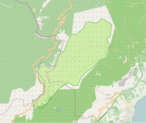
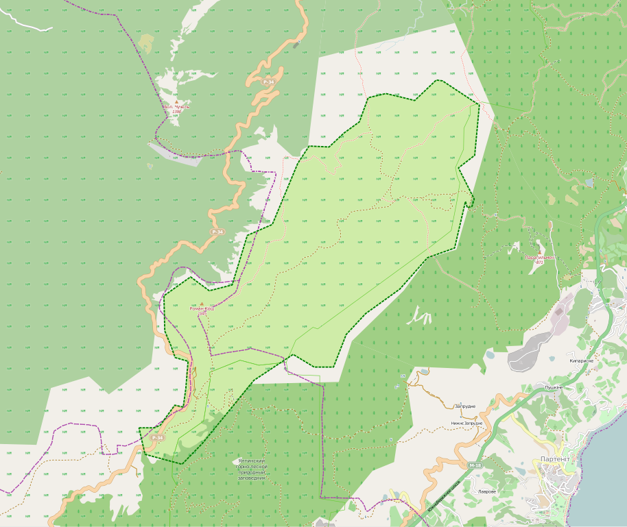
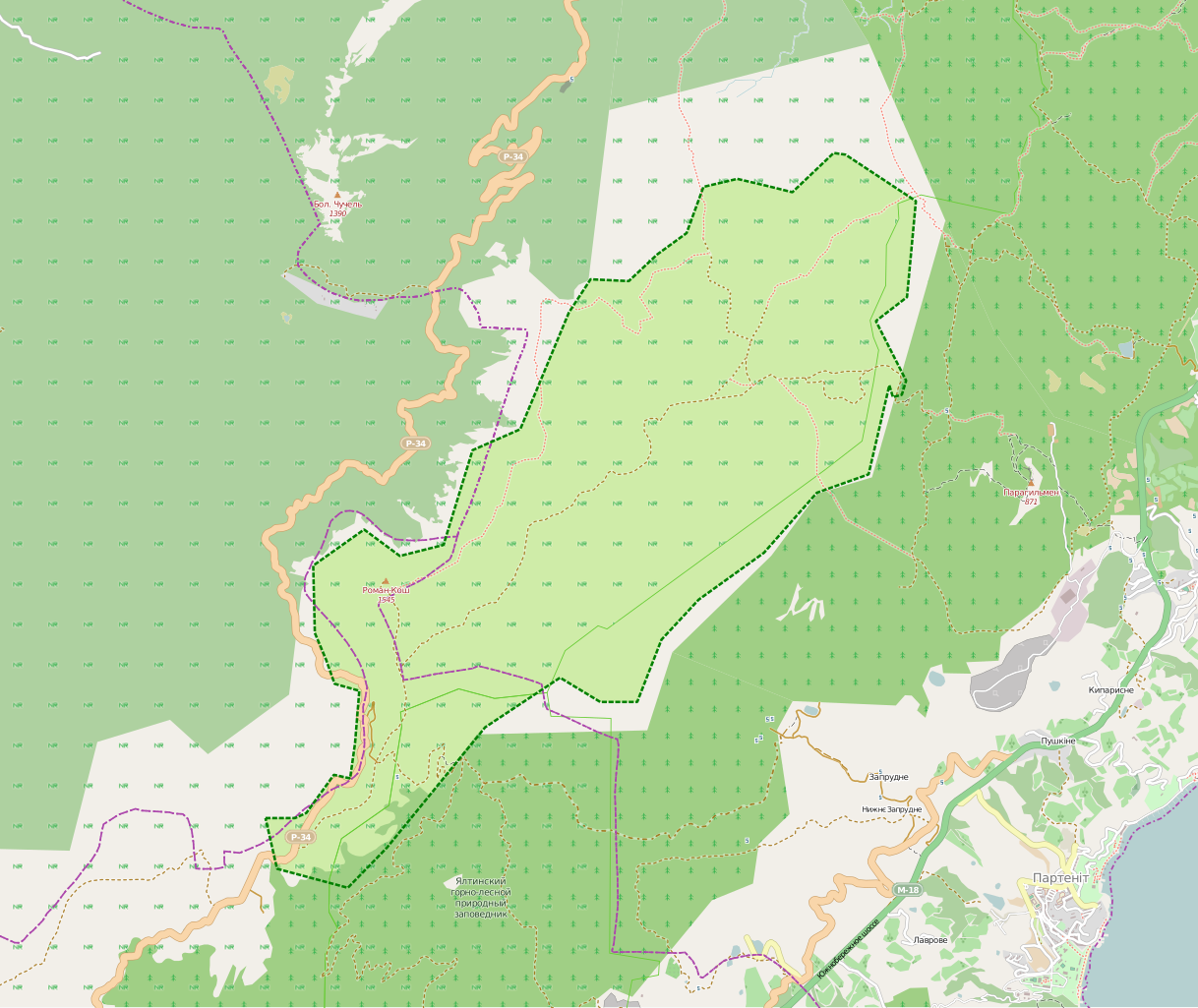
Українська: Бабуган-Яйла |
|||
| Date | (see file history) | |||
| Source | openstreetmap.org | |||
| Creator |
OpenStreetMap contributors |
|||
| Permission (Reusing this file) |
OpenStreetMap data is available under the Open Database License (details). Map tiles are licensed under the Creative Commons Attribution-ShareAlike 2.0 license (CC-BY-SA 2.0).
This file is licensed under the Creative Commons Attribution-Share Alike 2.0 Generic license.
|
|||
| Georeferencing | If inappropriate please set warp_status = skip to hide. |
File history
Click on a date/time to view the file as it appeared at that time.
| Date/Time | Thumbnail | Dimensions | User | Comment | |
|---|---|---|---|---|---|
| current | 21:50, 13 April 2014 | | 1,783 × 1,499 (881 KB) | Ahonc (talk | contribs) | User created page with UploadWizard |
You cannot overwrite this file.
File usage on Commons
There are no pages that use this file.
File usage on other wikis
The following other wikis use this file:
- Usage on crh.wikipedia.org
- Usage on et.wikipedia.org
- Usage on ru.wikipedia.org
- Usage on uk.wikipedia.org
- Роман-Кош
- Бабуган-яйла
- Автошлях Р 34
- Гурзуфське сідло
- Урага
- Ак-Чокрак
- Подпоричел
- Тас-Тепе
- Чамни-Бурун
- Синап-Даг
- Велика Чучель
- Хребет Коник
- Козьмо-Дем'янівський монастир
- Скелі Куш-Кая (Бабуган-яйла)
- Біюк-Сенон
- Шархинський кар'єр
- Ак-Чокрак-Богаз
- Дупля (урочище)
- Чучельський перевал
- Озеро Гірське (Виноградний)
- Usage on zh.wikipedia.org