File:-2021-01-09 Snow covered gateway, Consett & Sunderland Railway Path, Durham.jpg
Jump to navigation
Jump to search

Size of this preview: 800 × 557 pixels. Other resolutions: 320 × 223 pixels | 640 × 445 pixels | 1,024 × 713 pixels | 1,280 × 891 pixels | 2,560 × 1,782 pixels | 4,907 × 3,415 pixels.
Original file (4,907 × 3,415 pixels, file size: 4.42 MB, MIME type: image/jpeg)
Captions
Captions
Add a one-line explanation of what this file represents
Summary
[edit]
| Description |
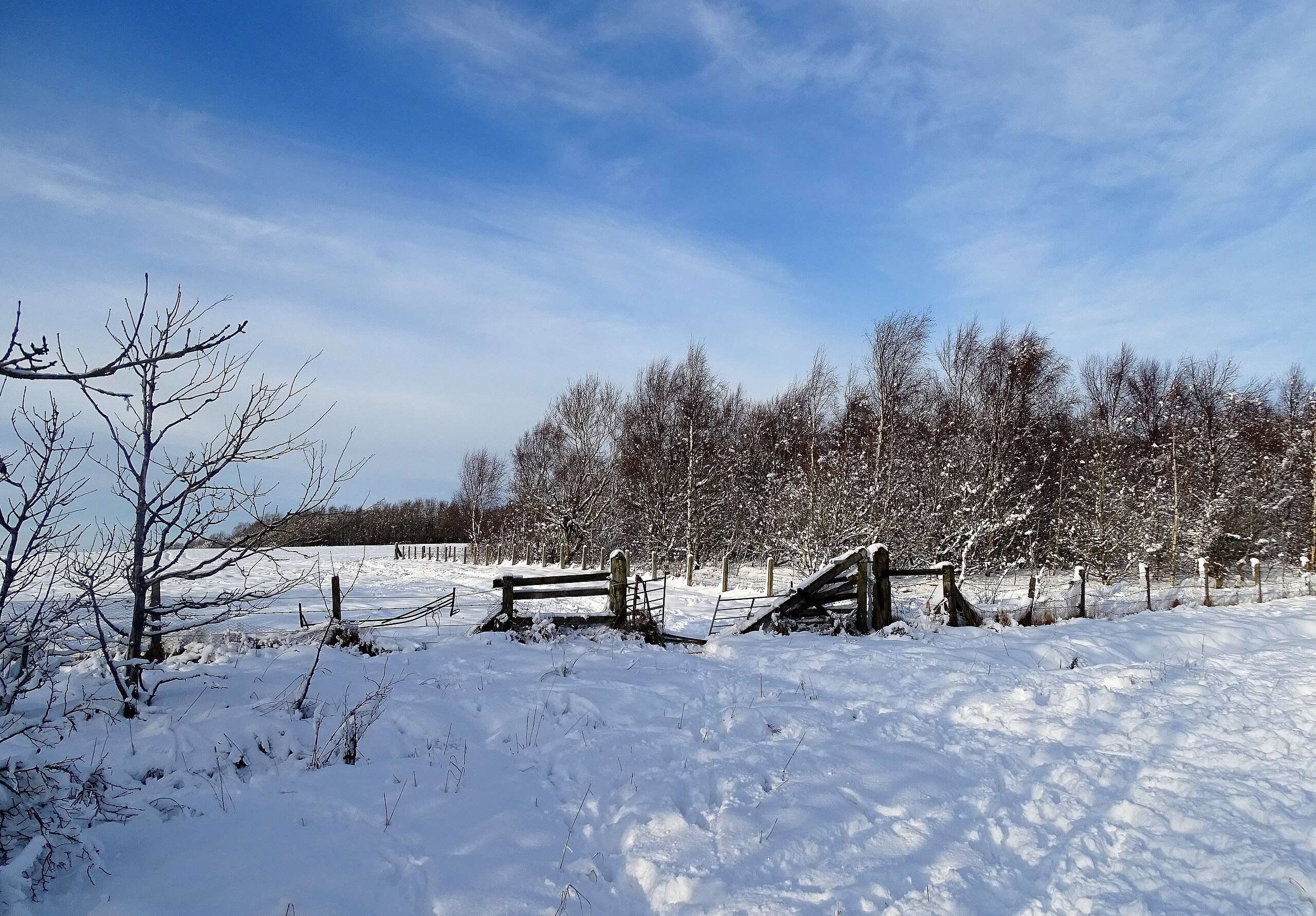
English: A snow covered gateway alongside the railway path in Consett, County Durham, England. This is the Consett & Sunderland Railway Path at its southern end near Lygett's Junction. A real winter wonderland picture after heavy snow. |
| Date | Taken on 9 January 2021 |
| Source | From geograph.org.uk |
| Author | Robert Graham |
| Attribution (required by the license) | Robert Graham / Snow covered gateway beside the line / |
| Camera location | | View this and other nearby images on: OpenStreetMap |
|---|
| Object location | | View this and other nearby images on: OpenStreetMap |
|---|
Licensing
[edit]

|
This image was taken from the Geograph project collection. See this photograph's page on the Geograph website for the photographer's contact details. The copyright on this image is owned by Robert Graham and is licensed for reuse under the Creative Commons Attribution-ShareAlike 2.0 license.
|
This file is licensed under the Creative Commons Attribution-Share Alike 2.0 Generic license.
Attribution: Robert Graham
- You are free:
- to share – to copy, distribute and transmit the work
- to remix – to adapt the work
- Under the following conditions:
- attribution – You must give appropriate credit, provide a link to the license, and indicate if changes were made. You may do so in any reasonable manner, but not in any way that suggests the licensor endorses you or your use.
- share alike – If you remix, transform, or build upon the material, you must distribute your contributions under the same or compatible license as the original.
File history
Click on a date/time to view the file as it appeared at that time.
| Date/Time | Thumbnail | Dimensions | User | Comment | |
|---|---|---|---|---|---|
| current | 19:24, 4 July 2021 | | 4,907 × 3,415 (4.42 MB) | Geograph Update Bot (talk | contribs) | Higher-resolution version from Geograph. |
| 09:21, 17 January 2021 |  | 1,024 × 713 (241 KB) | Kolforn (talk | contribs) | {{Information |description={{en|1=A snow covered gateway alongside the railway path in {{w|Consett}}, County Durham, England. This is the Consett & Sunderland Railway Path at its southern end near Lygett's Junction. A real winter wonderland picture after heavy snow.}} |Date={{Taken on|2021-01-09|location=United Kingdom}} |Source=From [https://www.geograph.org.uk/photo/6730346 geograph.org.uk] |author=[https://www.geograph.org.uk/profile/60711 Robert Graham] |permission= |other_versions= |othe... |
You cannot overwrite this file.
File usage on Commons
The following 2 pages use this file: