File:-2021-06-26 Carman’s Lane, Worstead.jpg
Jump to navigation
Jump to search
Size of this preview: 800 × 600 pixels. Other resolutions: 320 × 240 pixels | 640 × 480 pixels | 1,024 × 768 pixels.
Original file (1,024 × 768 pixels, file size: 346 KB, MIME type: image/jpeg)
Captions
Captions
Add a one-line explanation of what this file represents
Summary
[edit]
| Description |
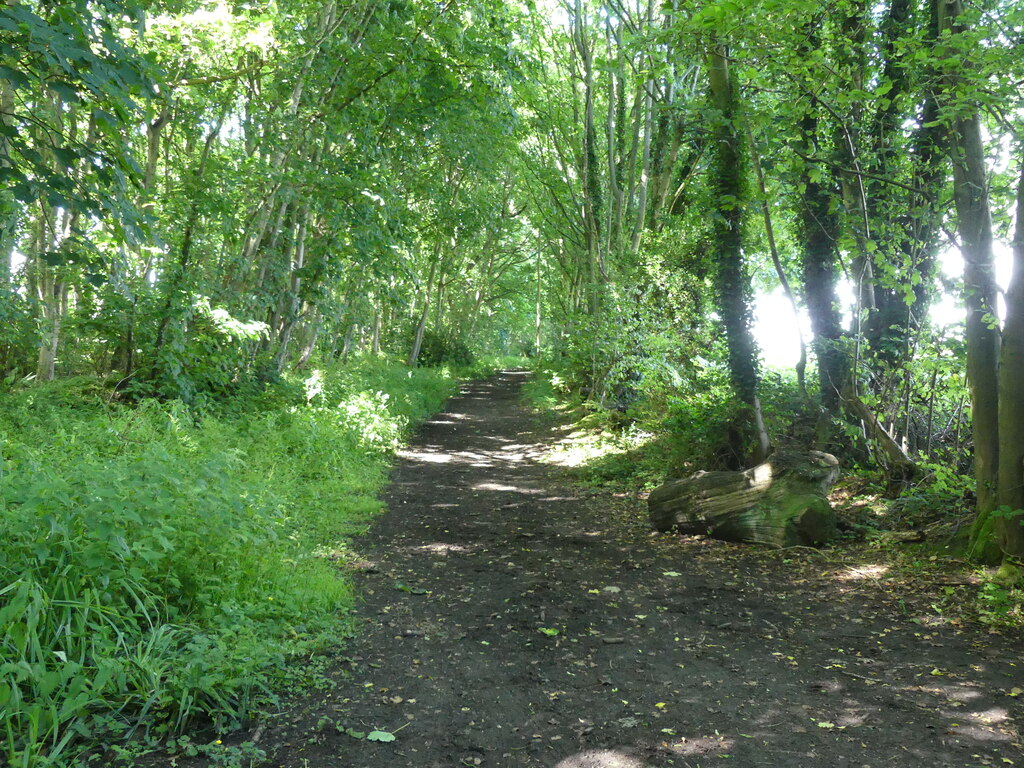
English: Looking north along Carman’s Lane in the parish of Worstead, Norfolk. |
| Date | Taken on 26 June 2021 |
| Source | From geograph.org.uk |
| Author | David Pashley |
| Attribution (required by the license) | David Pashley / Private road no entry / |
| Camera location | | View this and other nearby images on: OpenStreetMap |
|---|
| Object location | | View this and other nearby images on: OpenStreetMap |
|---|
Licensing
[edit]

|
This image was taken from the Geograph project collection. See this photograph's page on the Geograph website for the photographer's contact details. The copyright on this image is owned by David Pashley and is licensed for reuse under the Creative Commons Attribution-ShareAlike 2.0 license.
|
This file is licensed under the Creative Commons Attribution-Share Alike 2.0 Generic license.
Attribution: David Pashley
- You are free:
- to share – to copy, distribute and transmit the work
- to remix – to adapt the work
- Under the following conditions:
- attribution – You must give appropriate credit, provide a link to the license, and indicate if changes were made. You may do so in any reasonable manner, but not in any way that suggests the licensor endorses you or your use.
- share alike – If you remix, transform, or build upon the material, you must distribute your contributions under the same or compatible license as the original.
File history
Click on a date/time to view the file as it appeared at that time.
| Date/Time | Thumbnail | Dimensions | User | Comment | |
|---|---|---|---|---|---|
| current | 08:46, 28 June 2021 | | 1,024 × 768 (346 KB) | Kolforn (talk | contribs) | {{Information |Description={{en|1=Looking north along Carman’s Lane in the parish of {{w|Worstead}}, Norfolk.}} |Date={{Taken on|2021-06-26|location=United Kingdom}} |Source=From [https://www.geograph.org.uk/photo/6880952 geograph.org.uk] |author=[https://www.geograph.org.uk/profile/127274 David Pashley] |permission= |other_versions= |other fields={{Credit line |Author = David Pashley |Other = ''Private road no entry'' |License = CC-BY-SA-2.0 }}}} {{Location dec|52.772359|1.430829}} {{O... |
You cannot overwrite this file.
File usage on Commons
There are no pages that use this file.