File:Coastguard Station at Hawker's Cove, Cornwall (geograph 29654).jpg
(Redirected from File:029654 a18b1673-by-Chris-J-Dixon.jpg)
No higher resolution available.
Coastguard_Station_at_Hawker's_Cove,_Cornwall_(geograph_29654).jpg (640 × 482 pixels, file size: 118 KB, MIME type: image/jpeg)
Captions
Captions
Add a one-line explanation of what this file represents
Summary
[edit].jpg&action=edit§ion=1)
| Description |
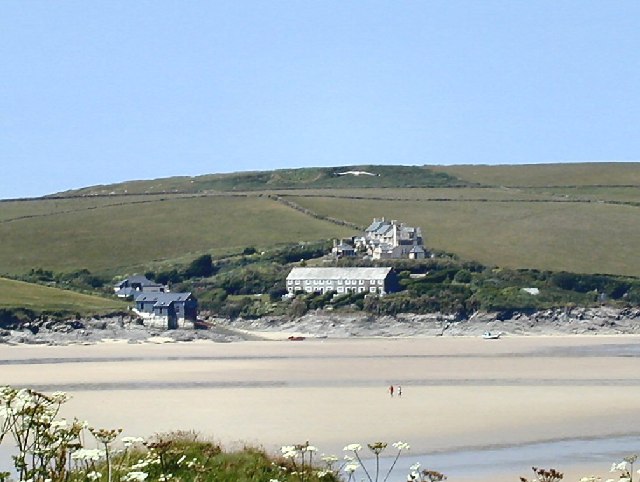
English: Coastguard Station at Hawker's Cove |
| Date | |
| Source | From geograph.org.uk |
| Author | Chris J Dixon |
| Attribution (required by the license) | Chris J Dixon / Coastguard Station at Hawker's Cove / |
| Camera location | | View this and other nearby images on: OpenStreetMap |
|---|
.jpg¶ms=050.553754_N_-004.941928_E_globe:Earth_type:camera_source:geograph-osgb36(SW917768)_heading:337.00&language=en)
| Object location | | View this and other nearby images on: OpenStreetMap |
|---|
.jpg¶ms=050.560760_N_-004.949430_E_globe:Earth_class:object_type:object_source:geograph-osgb36(SW912776)_heading:337.00&language=en)
Licensing
[edit].jpg&action=edit§ion=2)

|
This image was taken from the Geograph project collection. See this photograph's page on the Geograph website for the photographer's contact details. The copyright on this image is owned by Chris J Dixon and is licensed for reuse under the Creative Commons Attribution-ShareAlike 2.0 license.
|
This file is licensed under the Creative Commons Attribution-Share Alike 2.0 Generic license.
Attribution: Chris J Dixon
- You are free:
- to share – to copy, distribute and transmit the work
- to remix – to adapt the work
- Under the following conditions:
- attribution – You must give appropriate credit, provide a link to the license, and indicate if changes were made. You may do so in any reasonable manner, but not in any way that suggests the licensor endorses you or your use.
- share alike – If you remix, transform, or build upon the material, you must distribute your contributions under the same or compatible license as the original.
This file, which was originally posted to
From geograph.org.uk, was reviewed on 3 March 2019 by reviewer Chiyako92, who confirmed that it was available there under the stated license on that date.
|
File history
Click on a date/time to view the file as it appeared at that time.
| Date/Time | Thumbnail | Dimensions | User | Comment | |
|---|---|---|---|---|---|
| current | 23:12, 13 December 2008 | | 640 × 482 (118 KB) | Andy F (talk | contribs) | {{Information |Description={{en|1={{Information |Description=Coastguard Station at Hawker's Cove |Source=From [http://www.geograph.org.uk/photo/29654 geograph.org.uk] |Date=2005-06-23 |Author=[http://www.geograph.org.uk/profile/137 Chris J Dixon] |Permiss |
You cannot overwrite this file.
File usage on Commons
The following 3 pages use this file:
File usage on other wikis
The following other wikis use this file:
- Usage on ar.wikipedia.org
- Usage on arz.wikipedia.org
- Usage on cy.wikipedia.org
- Usage on en.wikipedia.org
- Usage on en.wikivoyage.org
- Usage on eu.wikipedia.org
- Usage on pl.wikipedia.org
- Usage on www.wikidata.org
.jpg&oldid=905954846)