File:1207 Federal Street (House), Pittsburgh, Allegheny County, PA HABS PA,2-PITBU,82-3.tif
Jump to navigation
Jump to search

Size of this JPG preview of this TIF file: 751 × 600 pixels. Other resolutions: 301 × 240 pixels | 601 × 480 pixels | 962 × 768 pixels | 1,280 × 1,022 pixels | 2,560 × 2,045 pixels | 5,000 × 3,994 pixels.
Original file (5,000 × 3,994 pixels, file size: 19.05 MB, MIME type: image/tiff)
Captions
Captions
Add a one-line explanation of what this file represents
Summary[edit]
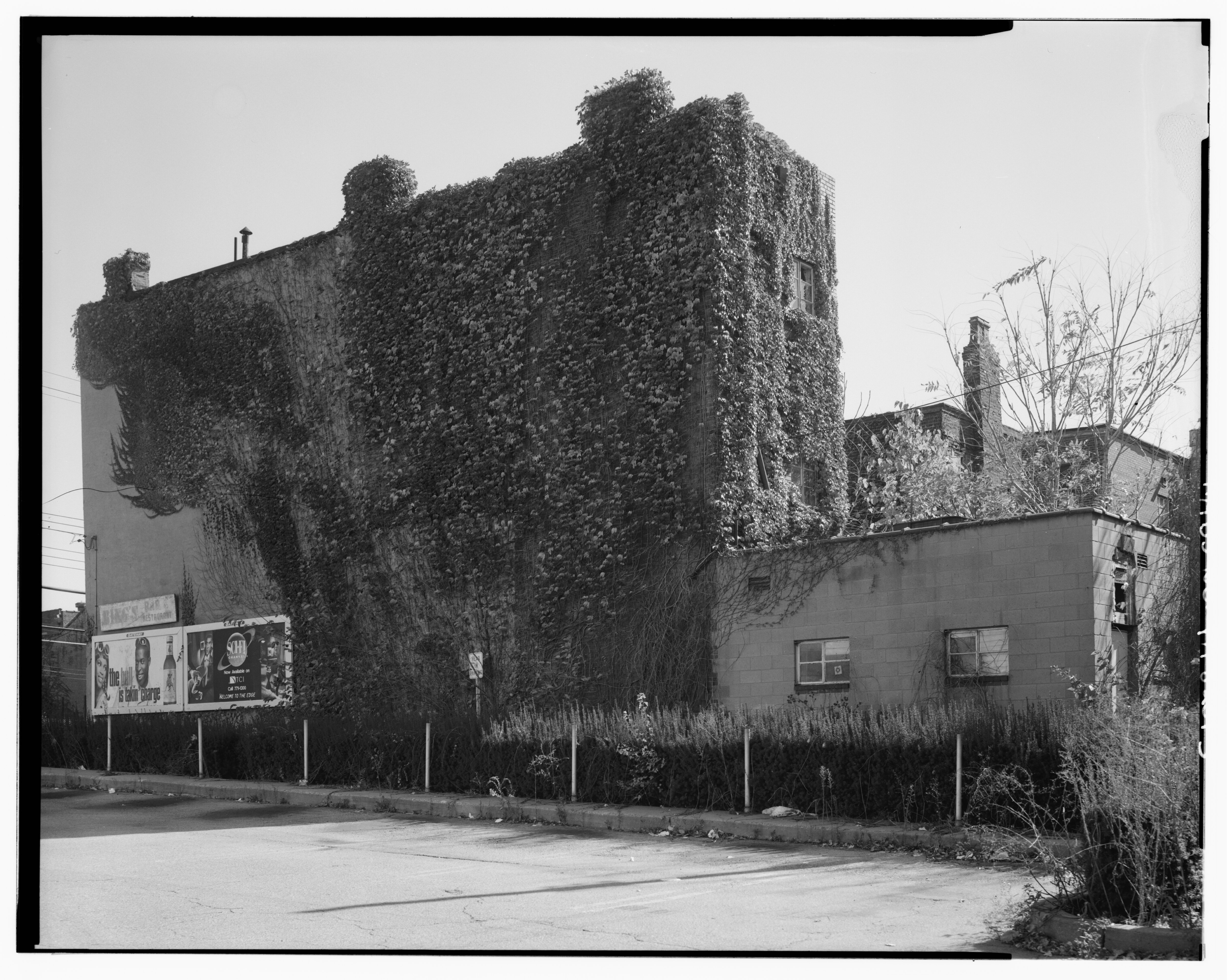
| - 1207 Federal Street (House), Pittsburgh, Allegheny County, PA | ||||
|---|---|---|---|---|
| Title |
- 1207 Federal Street (House), Pittsburgh, Allegheny County, PA |
|||
| Description |
DeCiccio, Carmen P, photographer; Carlisle, Ronald C, historian; Brown, Eliza Smith, historian |
|||
| Depicted place | Pennsylvania; Allegheny County; Pittsburgh | |||
| Date | Documentation compiled after 1933 | |||
| Dimensions | 4 x 5 in. | |||
| Current location |
Library of Congress Prints and Photographs Division Washington, D.C. 20540 USA http://hdl.loc.gov/loc.pnp/pp.print |
|||
| Accession number |
HABS PA,2-PITBU,82-3 |
|||
| Credit line |
|
|||
| Notes |
|
|||
| Source | https://www.loc.gov/pictures/item/pa3471.photos.360195p | |||
| Permission (Reusing this file) |
|
|||

| Object location | | View this and other nearby images on: OpenStreetMap |
|---|
File history
Click on a date/time to view the file as it appeared at that time.
| Date/Time | Thumbnail | Dimensions | User | Comment | |
|---|---|---|---|---|---|
| current | 02:33, 1 August 2014 |  | 5,000 × 3,994 (19.05 MB) | Fæ (talk | contribs) | GWToolset: Creating mediafile for Fæ. HABS 31 July 2014 (3000:3200) |
You cannot overwrite this file.
File usage on Commons
The following 2 pages use this file: