File:1822 Butler Map of Ireland - Geographicus - Ireland-butler-1822.jpg
Jump to navigation
Jump to search
Size of this preview: 458 × 599 pixels. Other resolutions: 183 × 240 pixels | 367 × 480 pixels | 587 × 768 pixels | 782 × 1,024 pixels | 2,317 × 3,032 pixels.
Original file (2,317 × 3,032 pixels, file size: 1.65 MB, MIME type: image/jpeg)
Captions
Captions
Add a one-line explanation of what this file represents
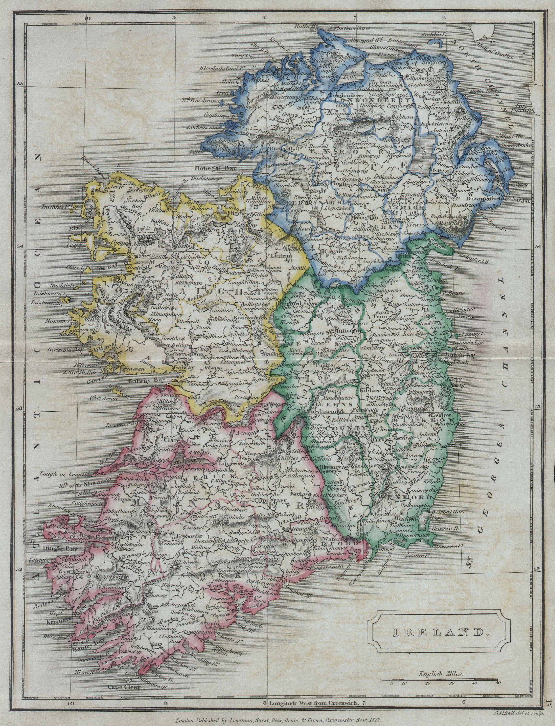
| Samuel Butler: Ireland.
( |
|||||||||||||||||||||
|---|---|---|---|---|---|---|---|---|---|---|---|---|---|---|---|---|---|---|---|---|---|
| Artist |
|
||||||||||||||||||||
| Title |
Ireland. |
||||||||||||||||||||
| Description |
English: A beautiful hand colored map of Ireland from Butler’s 1822 School Geography. Dated. |
||||||||||||||||||||
| Date | 1822 | ||||||||||||||||||||
| Dimensions | height: 8 in (20.3 cm); width: 10 in (25.4 cm) | ||||||||||||||||||||
| Accession number |
Geographicus link: Ireland-butler-1822 |
||||||||||||||||||||
| Source/Photographer |
|
||||||||||||||||||||
| Permission (Reusing this file) |
|
||||||||||||||||||||

File history
Click on a date/time to view the file as it appeared at that time.
| Date/Time | Thumbnail | Dimensions | User | Comment | |
|---|---|---|---|---|---|
| current | 08:34, 16 March 2011 | | 2,317 × 3,032 (1.65 MB) | BotMultichill (talk | contribs) | {{subst:User:Multichill/Geographicus |link=http://www.geographicus.com/P/AntiqueMap/Ireland-butler-1822 |product_name=1822 Butler Map of Ireland |map_title=Ireland. |description=A beautiful hand colored map of Ireland from Butler’s 1822 School Geography |
You cannot overwrite this file.
File usage on Commons
The following page uses this file:
File usage on other wikis
The following other wikis use this file:
- Usage on de.wikipedia.org
- Usage on tt.wikipedia.org