File:2021 Westernville, NY tornado damage.jpg
Jump to navigation
Jump to search
Size of this preview: 800 × 600 pixels. Other resolutions: 320 × 240 pixels | 640 × 480 pixels | 1,024 × 768 pixels | 1,280 × 960 pixels | 2,048 × 1,536 pixels.
Original file (2,048 × 1,536 pixels, file size: 1.8 MB, MIME type: image/jpeg)
Captions
Captions
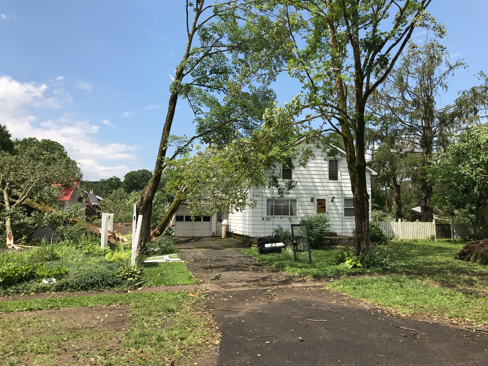
House and tree damage from 2021 Westernville, NY tornado
Summary
[edit]
| Description |
English: House and tree damage from 2021 Westernville, NY tornado |
| Date | |
| Source | https://www.weather.gov/bgm/pastSevereJuly082021 |
| Author | National Weather Service, Binghamton, NY |
| Camera location | | View this and other nearby images on: OpenStreetMap |
|---|
Licensing
[edit]
This image is in the public domain because it was stored on the web servers of the U.S. National Weather Service. NWS-created images are automatically public domain in the U.S. since the NWS is a part of the U.S. government. However, the NWS sites also host non-NWS images which have been submitted by individuals: these are generally shown as "Courtesy of ...". Such images have explicitly been released to the public domain by the copyright owner as part of the upload process.
Thus, all* images on NWS servers are public domain (including "Courtesy of ..." and “Photo by ...” images) unless specifically stated otherwise through a copyright (©) watermark.
*A deletion discussion in November 2023 ruled that Getty Images on the web servers of NWS, are to be considered copyrighted, even without a copyright (©) watermark and are the sole exception to this rule.
|
File history
Click on a date/time to view the file as it appeared at that time.
| Date/Time | Thumbnail | Dimensions | User | Comment | |
|---|---|---|---|---|---|
| current | 20:27, 16 April 2022 | | 2,048 × 1,536 (1.8 MB) | FarnhamJ (talk | contribs) | Uploaded a work by National Weather Service, Binghamton, NY from https://www.weather.gov/bgm/pastSevereJuly082021 with UploadWizard |
You cannot overwrite this file.
File usage on Commons
There are no pages that use this file.
File usage on other wikis
The following other wikis use this file:
- Usage on en.wikipedia.org