File:Admiralty Chart No 2675c English Channel Eastern Part, Published 1885.jpg
Jump to navigation
Jump to search

Size of this preview: 408 × 599 pixels. Other resolutions: 163 × 240 pixels | 327 × 480 pixels | 523 × 768 pixels | 698 × 1,024 pixels | 1,396 × 2,048 pixels | 11,222 × 16,467 pixels.
Original file (11,222 × 16,467 pixels, file size: 18.52 MB, MIME type: image/jpeg)
Captions
Captions
Add a one-line explanation of what this file represents
Summary[edit]
| Warning | The original file is very high-resolution. It might not load properly or could cause your browser to freeze when opened at full size. |
|---|
| Description |
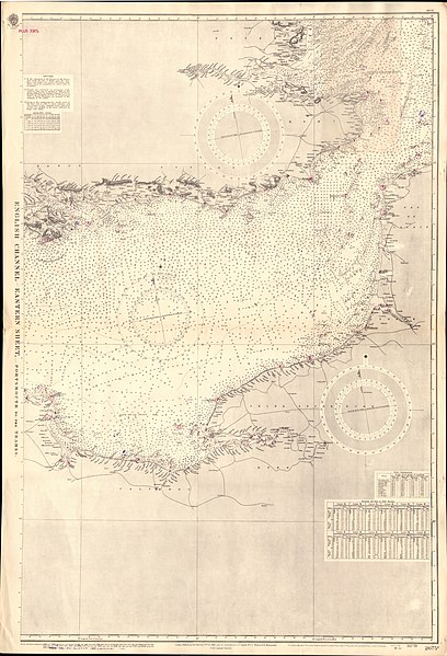
English: Nautical chart of the eastern part of the English Channel and the adjacent coasts of England and Franc. Not current - not to be used for navigation! |
| Date | |
| Source | Scan of UK Admiralty Chart No 2675c |
| Author | Captain W J L Wharton |
Licensing[edit]
This work created by the United Kingdom Government is in the public domain.
This is because it is one of the following:
HMSO has declared that the expiry of Crown Copyrights applies worldwide (ref: HMSO Email Reply)
|
 |
File history
Click on a date/time to view the file as it appeared at that time.
| Date/Time | Thumbnail | Dimensions | User | Comment | |
|---|---|---|---|---|---|
| current | 19:12, 30 June 2018 | | 11,222 × 16,467 (18.52 MB) | Kognos (talk | contribs) | User created page with UploadWizard |
You cannot overwrite this file.
File usage on Commons
There are no pages that use this file.