File:Armenia adm location map.svg

Арыгінальны файл (SVG-файл, намінальна 1169 × 1198 піксэлаў, памер файла: 146 кб)
Подпісы
Подпісы
Апісаньне
[рэдагаваць]
| Апісаньне |
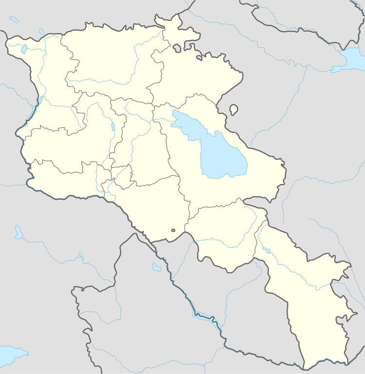
Deutsch: Positionskarte von Armenien
English: Location map of Armenia
|
||||||||||||
| Дата | |||||||||||||
| Крыніца |
Own work using:
|
||||||||||||
| Аўтар | NordNordWest | ||||||||||||

|
This map has been made or improved in the German Kartenwerkstatt (Map Lab). You can propose maps to improve as well.
|
Ліцэнзія
[рэдагаваць]
Usage of this file with:

explanatory notes: Legally binding is only the full legalcode. For a free usage I recommend to respect the following licence conditions:
1. Provide my name as given above: NordNordWest,
2. a copy of, or the URI for, the applicable license: https://creativecommons.org/licenses/by-sa/3.0/de/legalcode,
3. the title of the work,
4. in the case of an adaptation, a credit identifying the use of the work in the adaptation.
This license and the rights granted hereunder will terminate automatically upon any breach by you of the terms of this license. Any of the above conditions can be waived if you get permission from the copyright holder. If you have questions or wish differing conditions, please contact me through nnwest or my discussion page ![]() t-online.de
t-online.de
- Вы можаце свабодна:
- дзяліцца – капіяваць, распаўсюджваць і перадаваць гэты твор
- ствараць вытворныя творы – адаптаваць твор
- Пры выкананьні наступных умоваў:
- пазначэньне аўтарства – Вы мусіце пазначыць аўтарства, падаць спасылку на ліцэнзію і пазначыць, ці былі зробленыя зьмены. Вы можаце зрабіць гэта любым разумным спосабам, але не такім чынам, каб склалася ўражаньне, што ліцэнзіят падтрымлівае вас ці выкарыстаньне вамі гэтага твору.
- распаўсюджваць на тых жа ўмовах – Калі вы зьмяняеце, трансфармуеце ці грунтуецеся на гэтым матэрыяле, вы мусіце распаўсюджваць ваш унёсак паводле той жа ці сумяшчальнай ліцэнзіі, што і арыгінал.

Гісторыя файла
Націсьніце на дату/час, каб паглядзець, як тады выглядаў файл.
| Дата і час | Мініятура | Памеры | Удзельнік | Камэнтар | |
|---|---|---|---|---|---|
| цяперашняя | 18:36, 20 лістапада 2023 | | 1169 × 1198 (146 кб) | NordNordWest (Абмеркаваньне | унёсак) | back to original size |
| 10:34, 20 лістапада 2023 |  | 512 × 524 (130 кб) | Toghrul R (Абмеркаваньне | унёсак) | updated | |
| 09:32, 20 студзеня 2023 |  | 1169 × 1198 (152 кб) | Golden (Абмеркаваньне | унёсак) | updating NK borders - no control in the south, removing old Lachin corridor | |
| 17:06, 14 лістапада 2020 |  | 1169 × 1198 (150 кб) | NordNordWest (Абмеркаваньне | унёсак) | . | |
| 20:58, 21 кастрычніка 2014 |  | 1169 × 1198 (161 кб) | NordNordWest (Абмеркаваньне | унёсак) | == {{int:filedesc}} == {{Information |Description= {{de|1=Positionskarte von Armenien}} {{en|1=Location map of Armenia}} {{Location map series N |stretching=130 |top=41.4 |bottom=38.8 |left=43.4 |right=46.7 }} |Source={{Own using}} * United States Nati... |
Вы ня можаце перазапісаць гэты файл.
Выкарыстаньне файла
Наступныя старонкі выкарыстоўваюць гэты файл:
Глябальнае выкарыстаньне файла
Гэты файл выкарыстоўваецца ў наступных вікі:
- Выкарыстаньне ў af.wikipedia.org
- Выкарыстаньне ў als.wikipedia.org
- Выкарыстаньне ў an.wikipedia.org
- Выкарыстаньне ў ar.wikipedia.org
- Выкарыстаньне ў ast.wikipedia.org
- Yeghipatrush
- Yereván
- Castiellu d'Erebuni
- Fortaleza d'Ertij
- Fortaleza de Kosh
- Lori Berd
- Ciudadela d'Horom
- Castiellu de Bjni
- Vorotnaberd
- Fortaleza Ajtala
- Amberd
- Baghaberd
- Castiellu de Yereván
- Berdkunk
- Fortaleza Berdavan
- Fortaleza Berdkunk
- Proshaberd
- Fortaleza Dashtadem
- Kakavaberd
- Fortaleza Halidzor
- Karmir Blur
- Sardari Berd
- Sev Berd
- Smbataberd
- Fuerte Tavush
- Teishebaini
- Yergevanits
- Ushiberd
- Tsitsernakaberd
- Echmiadzin
- Yerevandashat (ciudá antigua)
- Dvin
- Hnaberd (Aragatsotn)
- Argishtikhinili
- Fortaleza de Meghri
- Armavir (ciudá antigua)
- Módulu:Mapa de llocalización/datos/Armenia
- Módulu:Mapa de llocalización/datos/Armenia/usu
- Guiumri
- Bancu Central d'Armenia
- Yeghegnadzor
Паказаць глябальнае выкарыстаньне гэтага файла.