File:Australia Northern Territory location map.svg
跳转到导航
跳转到搜索

此SVG文件的PNG预览的大小:431 × 599像素。 其他分辨率:172 × 240像素 | 345 × 480像素 | 552 × 768像素 | 736 × 1,024像素 | 1,473 × 2,048像素 | 1,134 × 1,577像素。
原始文件 (SVG文件,尺寸为1,134 × 1,577像素,文件大小:2.29 MB)
说明
说明
添加一行文字以描述该文件所表现的内容
摘要[编辑]
| 描述 |
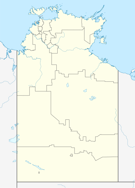
Quadratische Plattkarte, N-S-Streckung 105 %. Geographische Begrenzung der Karte:
Equirectangular projection, N/S stretching 105 %. Geographic limits of the map:
|
|
| 日期 | ||
| 来源 |
自己的作品, using
|
|
| 作者 | NordNordWest | |
| 授权 (二次使用本文件) |
本文件采用知识共享署名-相同方式共享 3.0 德国许可协议授权。
 本文件采用知识共享署名-相同方式共享 3.0 德国许可协议授权。
|
|
| 其他版本 | 此文件衍生的作品: Australia Northern Territory with LGA names.svg |


|
|
文件历史
点击某个日期/时间查看对应时刻的文件。
| 日期/时间 | 缩略图 | 大小 | 用户 | 备注 | |
|---|---|---|---|---|---|
| 当前 | 2023年2月7日 (二) 10:50 | | 1,134 × 1,577(2.29 MB) | The2016(留言 | 贡献) | Updated to current LGA boundaries. |
| 2010年4月4日 (日) 22:07 |  | 1,134 × 1,577(533 KB) | Chumwa(留言 | 贡献) | Reverted to version as of 16:37, 18 December 2009 | |
| 2010年4月4日 (日) 21:56 |  | 1,134 × 1,577(493 KB) | Roke~commonswiki(留言 | 贡献) | local government low salience, dont appear on general use maps | |
| 2009年12月18日 (五) 16:37 |  | 1,134 × 1,577(533 KB) | NordNordWest(留言 | 贡献) | =={{int:filedesc}}== {{Information |Description= {{de|Positionskarte des Northern Territory, Australien}} Quadratische Plattkarte, N-S-Streckung 105 %. Geographische Begrenzung der Karte: * N: 10.6° S * S: 26 |
您不可以覆盖此文件。
文件用途
以下2个页面使用本文件:
全域文件用途
以下其他wiki使用此文件:
- af.wikipedia.org上的用途
- als.wikipedia.org上的用途
- azb.wikipedia.org上的用途
- ba.wikipedia.org上的用途
- bg.wikipedia.org上的用途
- ceb.wikipedia.org上的用途
- cs.wikipedia.org上的用途
- de.wikipedia.org上的用途
- Darwin (Northern Territory)
- Alice Springs
- Yulara
- Hermannsburg (Australien)
- Yuendumu
- Daly Waters
- Tennant Creek
- Darwin International Airport
- Katherine
- Jabiru (Australien)
- Palmerston (Northern Territory)
- Milikapiti
- Pine Creek (Northern Territory)
- Mataranka
- Vorlage:Positionskarte Australien Northern Territory
- Elliott (Australien)
- Timber Creek
- Wikipedia:Kartenwerkstatt/Positionskarten/Australien und Ozeanien
- Erldunda
- Papunya
- Kintore (Northern Territory)
- Adelaide River (Ortschaft)
- Haasts Bluff
- Yirrkala
- Ramingining
- Milingimbi
- Barrow Creek
- RAAF Base Tindal
- RAAF Base Darwin
- Kaltukatjara
- Benutzer:Rr2000/Vorlagentest Ort in Australien
- Connellan Airport
- Corella Creek
- Cape Crawford
- Borroloola
- Humpty Doo
- Batchelor (Australien)
- Kelly-West-Krater
- Maningrida
- Daly River (Stadt)
- American-Australian Scientific Expedition to Arnhem Land
查看本文件的更多全域用途。