File:Birding Hotspots of the Northern Sacramento Valley (Map).png
Original file (2,316 × 3,046 pixels, file size: 3.76 MB, MIME type: image/png)
Captions
Captions
Summary
[edit].png&action=edit§ion=1)
| Description |
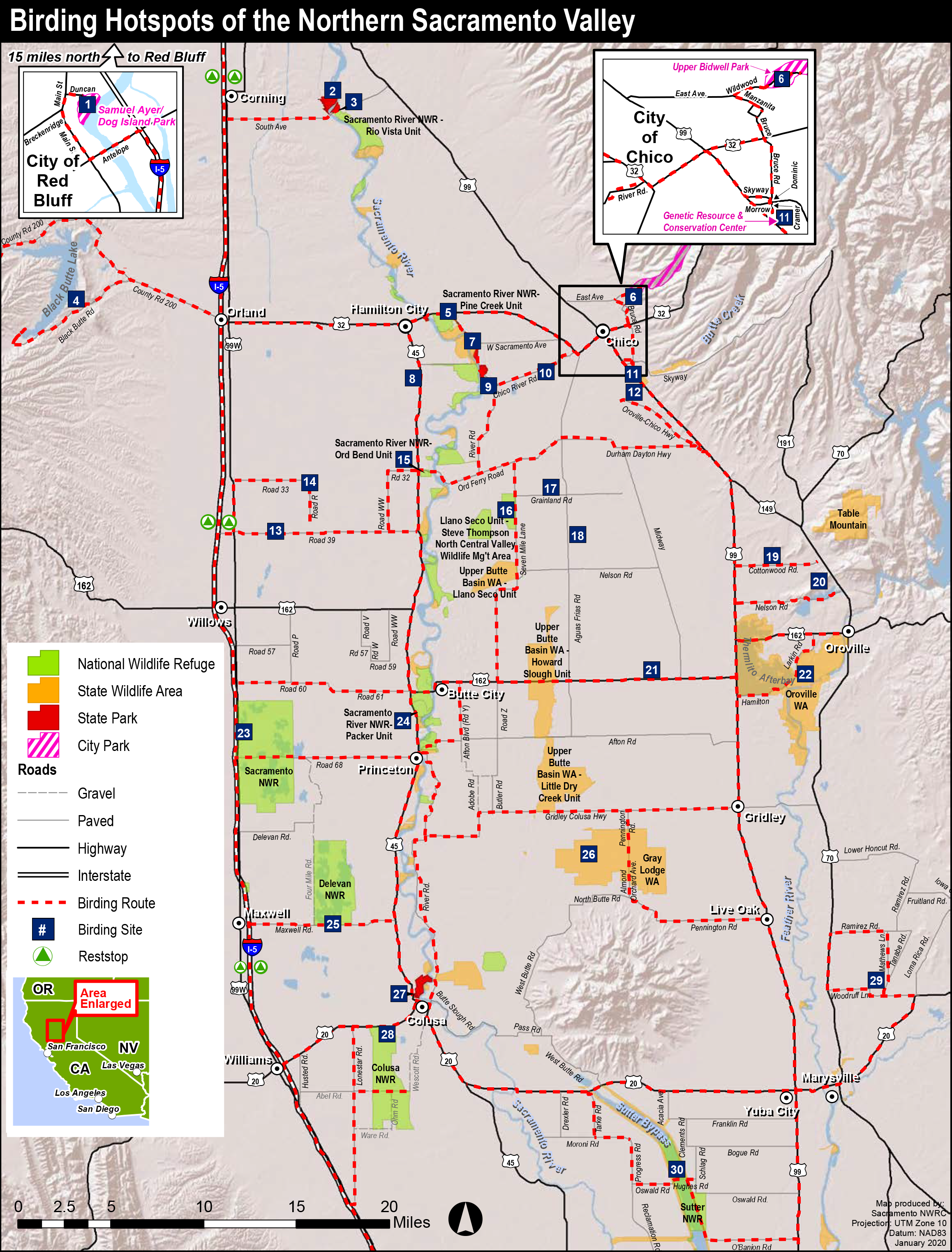
English: Birding Hotspots of the Northern Sacramento Valley, via Sacramento National Wildlife Refuge – Additional maps. 1: City of Red Bluff – Samuel Ayer / Dog Island Park |
| Date | [2012] |
| Source | https://www.fws.gov/uploadedFiles/Region_8/NWRS/Zone_1/Sacramento_Complex/Sacramento/Uploaded_Files/Maps_and_Brochures/Visitor_Services/Birding_Maps/SacValley%20Birding%20Map%202012.pdf |
| Author | U.S. Fish & Wildlife Service |
Licensing
[edit].png&action=edit§ion=2)
This image or recording is the work of a U.S. Fish and Wildlife Service employee, taken or made as part of that person's official duties. As a work of the U.S. federal government, the image is in the public domain. For more information, see the Fish and Wildlife Service copyright policy.
|
 |
File history
Click on a date/time to view the file as it appeared at that time.
| Date/Time | Thumbnail | Dimensions | User | Comment | |
|---|---|---|---|---|---|
| current | 23:16, 25 September 2021 | | 2,316 × 3,046 (3.76 MB) | Frank Schulenburg (talk | contribs) | Uploaded a work by U.S. Fish & Wildlife Service from https://www.fws.gov/uploadedFiles/Region_8/NWRS/Zone_1/Sacramento_Complex/Sacramento/Uploaded_Files/Maps_and_Brochures/Visitor_Services/Birding_Maps/SacValley%20Birding%20Map%202012.pdf with UploadWizard |
You cannot overwrite this file.
File usage on Commons
There are no pages that use this file.
File usage on other wikis
The following other wikis use this file:
- Usage on de.wikipedia.org
.png&oldid=841324124)