File:BlankMap-World-90W.svg
Salta a la navegació
Salta a la cerca

Mida d'aquesta previsualització PNG del fitxer SVG: 800 × 405 píxels. Altres resolucions: 320 × 162 píxels | 640 × 324 píxels | 1.024 × 519 píxels | 1.280 × 649 píxels | 2.560 × 1.297 píxels | 3.128 × 1.585 píxels.
Fitxer original (fitxer SVG, nominalment 3.128 × 1.585 píxels, mida del fitxer: 1,34 Mo)
Llegendes
Llegendes
Afegeix una explicació d'una línia del que representa aquest fitxer
Resum
[modifica]| Descripció |
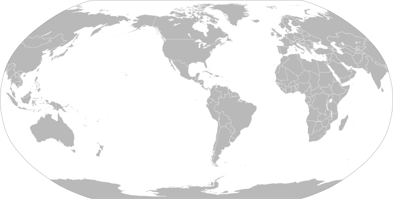
English: A political map of the world centered at the 90W longitude line.
Detailed SVG map with grouping enabled to connect all non-contiguous parts of a country's territory for easy colouring. Smaller countries can also be represented by larger circles to show their data easier. A thorough description of use and other instructions relating to can be found on the instruction page |
||
| Data | |||
| Font | Based on File:BlankMap-World.svg and rotated using the pythonscript available at [1] | ||
| Autor | Lokal_Profil | ||
| Permís (Com reutilitzar aquest fitxer) |
The map data manipulated by the script is in the public domain. The raw output of the script, including the file shown here, is also in the public domain.
|
||
| Altres versions |
Derivative works of this file:
|
||
| SVG genesis | Aquesta imatge vectorial ha estat creada amb unknown tool |


_(90W).svg)
Historial del fitxer
Cliqueu una data/hora per veure el fitxer tal com era aleshores.
| Data/hora | Miniatura | Dimensions | Usuari/a | Comentari | |
|---|---|---|---|---|---|
| actual | 20:12, 6 set 2021 | | 3.128 × 1.585 (1,34 Mo) | Milenioscuro (discussió | contribucions) | cropped |
| 18:14, 7 març 2019 |  | 940 × 477 (3,48 Mo) | Goran tek-en (discussió | contribucions) | Updating Montenegro and/or South Sudan as requested by {{u|Maphobbyist}}. | |
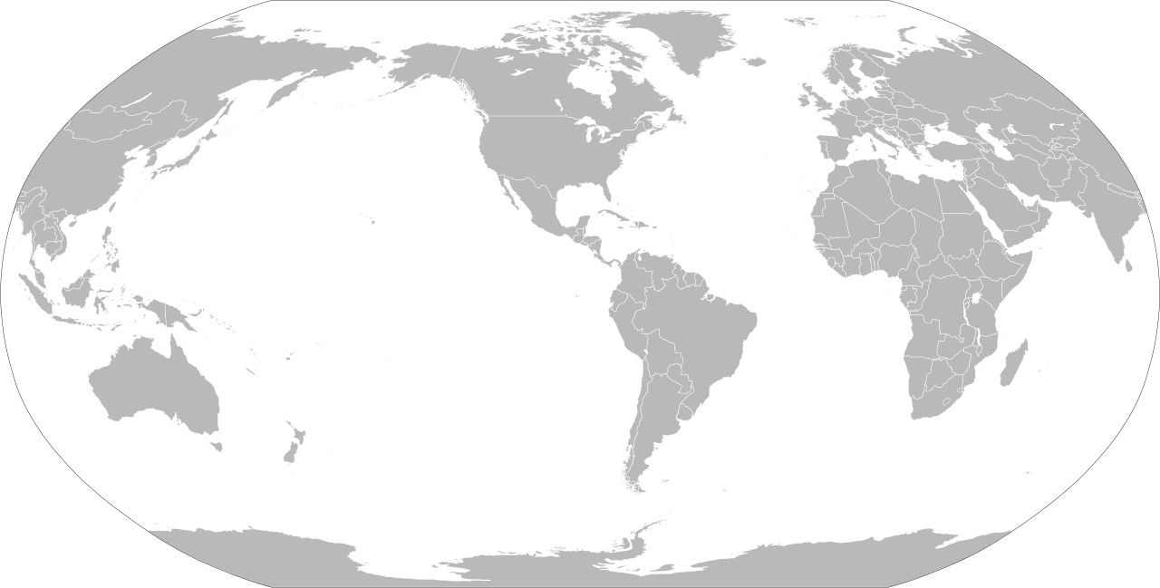
| 00:06, 7 set 2012 |  | 940 × 477 (3,45 Mo) | Lokal Profil (discussió | contribucions) | {{Information |Description=A blank map of the world centered at the 90W longitude line. Detailed SVG map with grouping enabled to connect all non-contiguous parts of a country's territory for easy colouring. Smaller countries can also be represented... |
No podeu sobreescriure aquest fitxer.
Ús del fitxer
Les 5 pàgines següents utilitzen aquest fitxer:
Ús global del fitxer
Utilització d'aquest fitxer en altres wikis:
- Utilització a en.wikipedia.org
- Utilització a fr.wikiversity.org