File:Buckinghamshire UK relief location map.jpg
跳转到导航
跳转到搜索

本预览的尺寸:506 × 599像素。 其他分辨率:203 × 240像素 | 405 × 480像素 | 649 × 768像素 | 865 × 1,024像素 | 2,005 × 2,374像素。
原始文件 (2,005 × 2,374像素,文件大小:465 KB,MIME类型:image/jpeg)
说明
说明
添加一行文字以描述该文件所表现的内容
| 描述 |
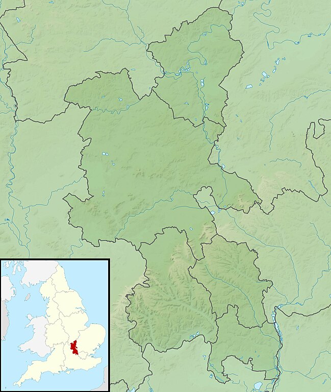
Relief map of Buckinghamshire, UK. Equirectangular map projection on WGS 84 datum, with N/S stretched 160% Geographic limits:
|
| 日期 | |
| 来源 |
|
| 作者 | Nilfanion, created using Ordnance Survey data |
| 授权 (二次使用本文件) |
本文件采用知识共享署名-相同方式共享 3.0 未本地化版本许可协议授权。 署名: Contains Ordnance Survey data © Crown copyright and database right
|
| 其他版本 | File:Buckinghamshire UK district map (blank).svg - Blank map |
.svg)
文件历史
点击某个日期/时间查看对应时刻的文件。
| 日期/时间 | 缩略图 | 大小 | 用户 | 备注 | |
|---|---|---|---|---|---|
| 当前 | 2011年11月29日 (二) 01:18 | | 2,005 × 2,374(465 KB) | Nilfanion(留言 | 贡献) | {{Information |Description=Relief map of Buckinghamshire, UK. Equirectangular map projection on WGS 84 datum, with N/S stretched 160% Geographic limits: *West: 1.33W *East: 0.33W *North: 52.21N *South: 51.47N |Source=[[w:Ordnance S |
您不可以覆盖此文件。
文件用途
没有页面使用本文件。
全域文件用途
以下其他wiki使用此文件:
- ar.wikipedia.org上的用途
- bg.wikipedia.org上的用途
- ceb.wikipedia.org上的用途
- en.wikipedia.org上的用途
- Ivinghoe Beacon
- Hughenden Manor
- Coombe Hill, Buckinghamshire
- Dorney Lake
- Haddington Hill
- Fawley Court
- Taplow Court
- The Heritage (European Tour)
- Travis Perkins Masters
- Dorton House, Buckinghamshire
- Wotton House
- Gayhurst House
- Battle of Olney Bridge
- Beaconsfield Golf Club
- Module:Location map/data/United Kingdom Buckinghamshire
- Module:Location map/data/Buckinghamshire
- Module:Location map/data/United Kingdom Buckinghamshire/doc
- Cerberus Privy
- fr.wikipedia.org上的用途
- hu.wikipedia.org上的用途
- it.wikipedia.org上的用途
- ja.wikipedia.org上的用途
- kn.wikipedia.org上的用途
- lv.wikipedia.org上的用途
- mk.wikipedia.org上的用途
- nl.wikipedia.org上的用途
- os.wikipedia.org上的用途
- pl.wikipedia.org上的用途
- pl.wikibooks.org上的用途
- sco.wikipedia.org上的用途
- simple.wikipedia.org上的用途
查看此文件的更多全域用途。