File:CLOSEUP OF STRUCTURE - Nichols-Hardman House, Gazebo, Georgia Highway 17 and Georgia Highway 75, Nacoochee, White County, GA HABS GA,156-NAVA,2A-2.tif
Jump to navigation
Jump to search

Size of this JPG preview of this TIF file: 478 × 599 pixels. Other resolutions: 191 × 240 pixels | 383 × 480 pixels | 612 × 768 pixels | 816 × 1,024 pixels | 1,633 × 2,048 pixels | 3,987 × 5,000 pixels.
Original file (3,987 × 5,000 pixels, file size: 19.01 MB, MIME type: image/tiff)
Captions
Captions
Add a one-line explanation of what this file represents
Summary
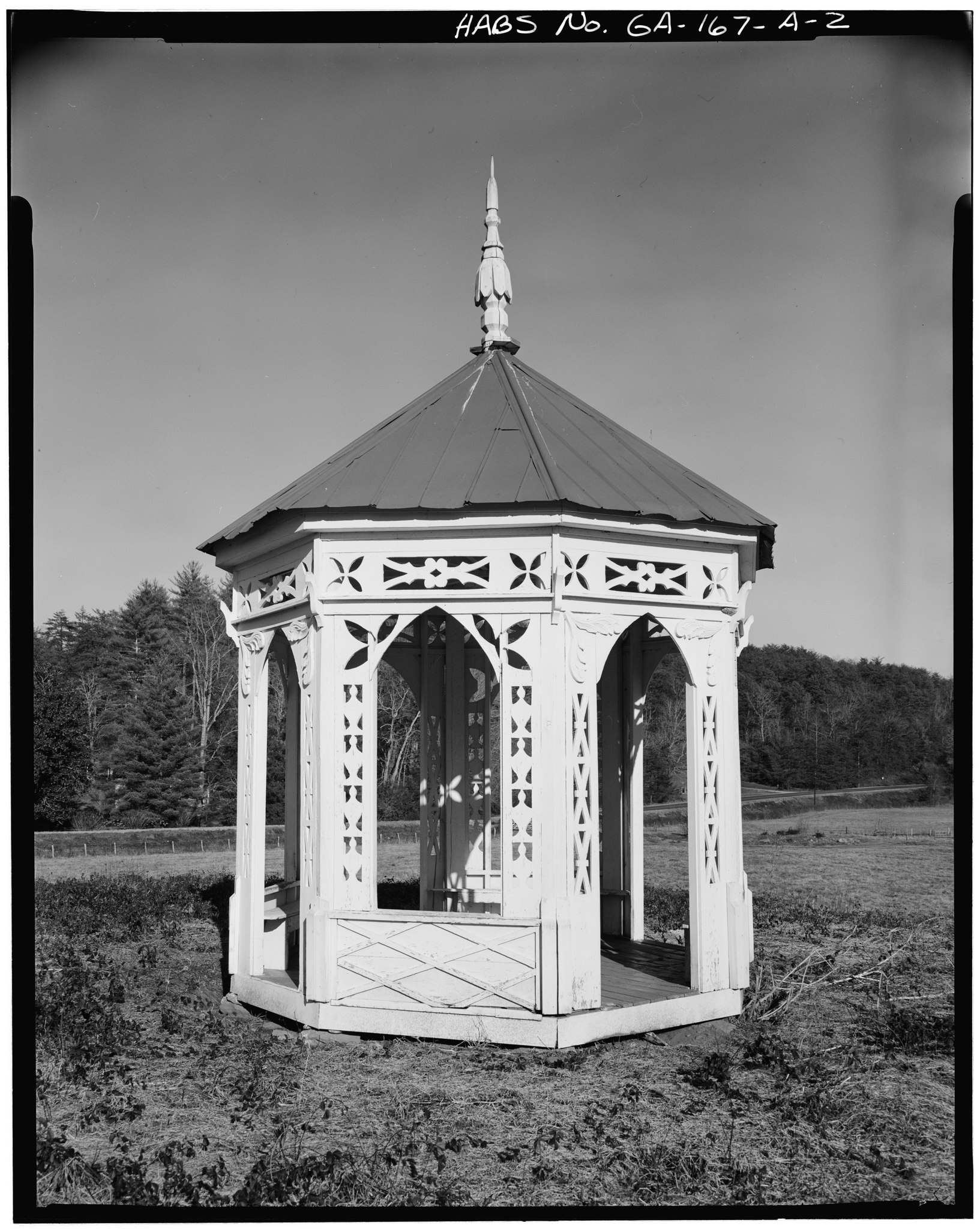
[edit]| CLOSEUP OF STRUCTURE - Nichols-Hardman House, Gazebo, Georgia Highway 17 and Georgia Highway 75, Nacoochee, White County, GA | ||||
|---|---|---|---|---|
| Title |
CLOSEUP OF STRUCTURE - Nichols-Hardman House, Gazebo, Georgia Highway 17 and Georgia Highway 75, Nacoochee, White County, GA |
|||
| Depicted place | Georgia; White County; Nacoochee | |||
| Date | Documentation compiled after 1933 | |||
| Dimensions | 4 x 5 in. | |||
| Current location |
Library of Congress Prints and Photographs Division Washington, D.C. 20540 USA http://hdl.loc.gov/loc.pnp/pp.print |
|||
| Accession number |
HABS GA,156-NAVA,2A-2 |
|||
| Credit line |
|
|||
| Notes |
|
|||
| Source | https://www.loc.gov/pictures/item/ga0064.photos.055088p | |||
| Permission (Reusing this file) |
|
|||

| Object location | | View this and other nearby images on: OpenStreetMap |
|---|
|
This is an image of a place or building that is listed on the National Register of Historic Places in the United States of America. Its reference number is 80001264. |
File history
Click on a date/time to view the file as it appeared at that time.
| Date/Time | Thumbnail | Dimensions | User | Comment | |
|---|---|---|---|---|---|
| current | 08:32, 13 July 2014 |  | 3,987 × 5,000 (19.01 MB) | Fæ (talk | contribs) | GWToolset: Creating mediafile for Fæ. HABS 09 July 2014 (801:1000) |
You cannot overwrite this file.
File usage on Commons
The following page uses this file: