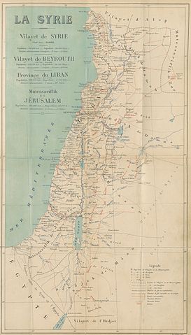
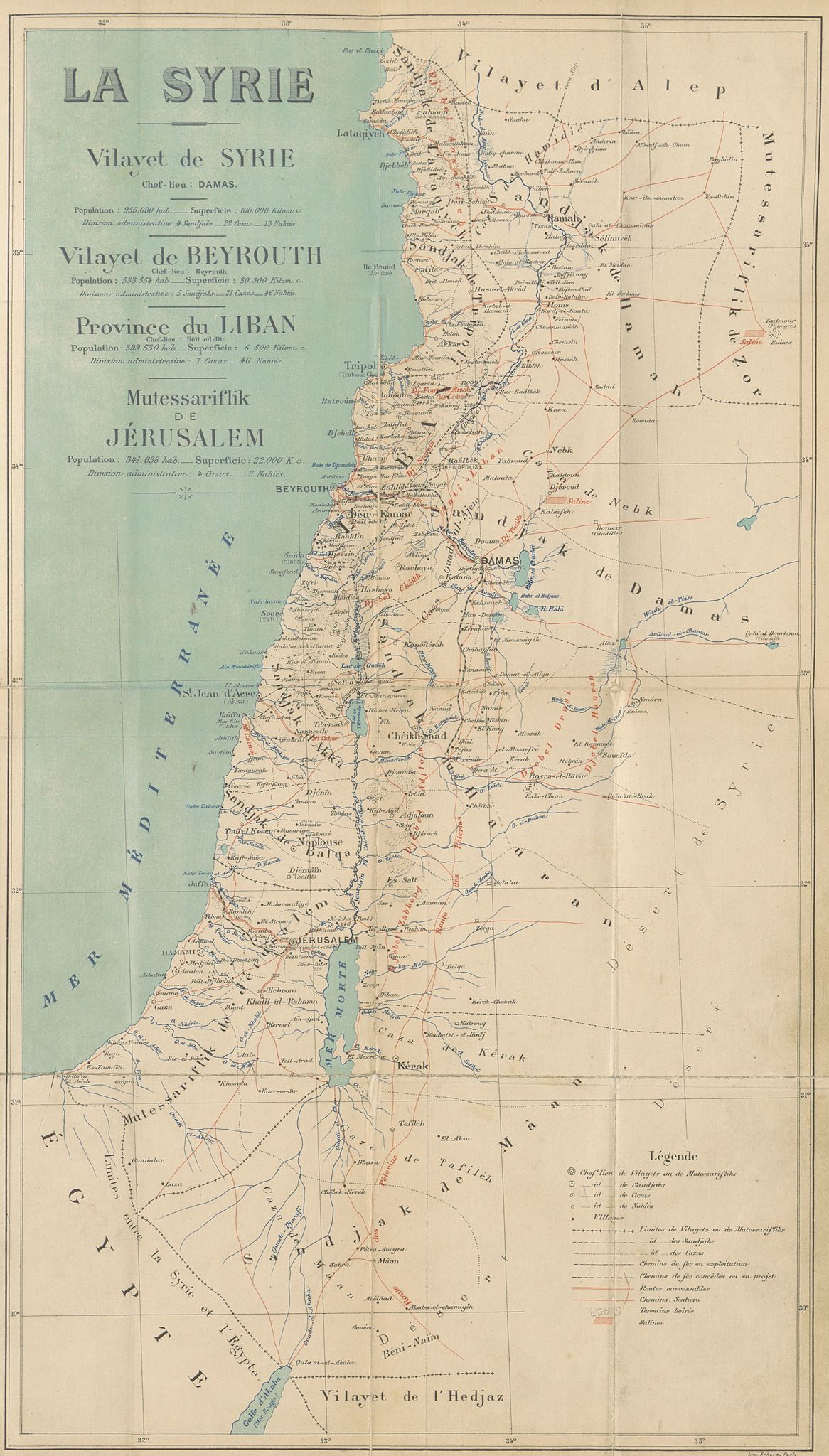
File:CUINET(1896) LA SYRIE.jpg

Original file (3,459 × 6,075 pixels, file size: 8.83 MB, MIME type: image/jpeg)
Captions
Captions
Summary
[edit]| Date | 1896 | ||||
| Accession number |
British Library HMNTS 010076.i.2. |
||||
| Source/Photographer |
Image extracted from page 529 of Syrie, Liban et Palestine. Géographie administrative, statistique, descriptive et raisonnée., by CUINET, Vital. Original held and digitised by the British Library. Copied from Flickr. Note: The colours, contrast and appearance of these illustrations are unlikely to be true to life. They are derived from scanned images that have been enhanced for machine interpretation and have been altered from their originals.
|
||||
| Permission (Reusing this file) |
|
||||

_LA_SYRIE.jpg&action=edit§ion=1)
| Annotations | This image is annotated: View the annotations at Commons |
_LA_SYRIE.jpg)
File history
Click on a date/time to view the file as it appeared at that time.
| Date/Time | Thumbnail | Dimensions | User | Comment | |
|---|---|---|---|---|---|
| current | 14:40, 1 January 2015 | | 3,459 × 6,075 (8.83 MB) | Metilsteiner (talk | contribs) | User created page with UploadWizard |
You cannot overwrite this file.
File usage on Commons
The following page uses this file:
_LA_SYRIE.jpg)
File usage on other wikis
The following other wikis use this file:
- Usage on az.wikipedia.org
- Usage on ca.wikipedia.org
- Usage on de.wikipedia.org
- Usage on en.wikipedia.org
- Usage on es.wikipedia.org
- Usage on fa.wikipedia.org
- Usage on fr.wikipedia.org
- Usage on id.wikipedia.org
- Usage on it.wikipedia.org
- Usage on ko.wikipedia.org
- Usage on mk.wikipedia.org
- Usage on mt.wikipedia.org
- Usage on pnb.wikipedia.org
- Usage on ro.wikipedia.org
- Usage on sr.wikipedia.org
- Usage on ur.wikipedia.org
_LA_SYRIE.jpg&oldid=844901167)
- Maps from the Mechanical Curator collection
- Syria Vilayet
- Beirut Vilayet
- Syrie, Liban et Palestine. Géographie administrative, statistique, descriptive et raisonnée (1896) by CUINET
- 1890s maps of the Levant
- French-language maps of Asia
- 1896 maps of the Ottoman Empire
- Mutasarrifate of Jerusalem
- Maps of Ottoman Syria