File:Caerphilly UK location map.svg
Ir a la navegación
Ir a la búsqueda

Tamaño de esta previsualización PNG del archivo SVG: 423 × 599 píxeles. Otras resoluciones: 169 × 240 píxeles | 339 × 480 píxeles | 542 × 768 píxeles | 723 × 1024 píxeles | 1446 × 2048 píxeles | 894 × 1266 píxeles.
Archivo original (archivo SVG, nominalmente 894 × 1266 píxeles, tamaño de archivo: 625 kB)
Leyendas
Leyendas
Añade una explicación corta acerca de lo que representa este archivo
| Descripción |
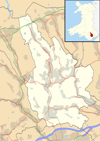
Blank map of Caerphilly, UK with the following information shown:
Equirectangular map projection on WGS 84 datum, with N/S stretched 160% Geographic limits:
|
| Fecha | |
| Fuente |
|
| Autor | Nilfanion, created using Ordnance Survey data |
| Permiso (Reutilización de este archivo) |
Este archivo se encuentra bajo la licencia Creative Commons Genérica de Atribución/Compartir-Igual 3.0. Atribución: Contains Ordnance Survey data © Crown copyright and database right
|
| Otras versiones | File:Caerphilly UK map.svg - Blank map |
Historial del archivo
Haz clic sobre una fecha y hora para ver el archivo tal como apareció en ese momento.
| Fecha y hora | Miniatura | Dimensiones | Usuario | Comentario | |
|---|---|---|---|---|---|
| actual | 19:28 26 sep 2010 | | 894 × 1266 (625 kB) | Nilfanion (discusión | contribs.) | {{Information |Description=Blank map of Caerphilly, UK with the following information shown: *Administrative borders *Coastline, lakes and rivers *Roads and railways *Urban areas Equirectangular map projection on WGS 84 datum, with N/S st |
No puedes sobrescribir este archivo.
Usos del archivo
La siguiente página usa este archivo:
Uso global del archivo
Las wikis siguientes utilizan este archivo:
- Uso en ar.wikipedia.org
- Uso en ceb.wikipedia.org
- Uso en cy.wikipedia.org
- Uso en en.wikipedia.org
- Abercarn
- Caerphilly
- Welsh Football League Division Two
- Bargoed
- Caerphilly County Borough
- Rhymney
- Risca
- Caerphilly District Miners Hospital
- Crumlin, Caerphilly
- Cwmcarn
- Ystrad Mynach
- Trethomas
- Bedwas
- Machen
- Newbridge, Caerphilly
- Blackwood, Caerphilly
- Aberbargoed
- Abertysswg
- Hengoed
- Pengam
- Van, Caerphilly
- Cefn Mably House
- New Tredegar
- Pontllanfraith
- Nelson, Caerphilly
- Maesycwmmer
- Fochriw
- Aberbargoed Hospital
- Oakdale Hospital
- Redwood Memorial Hospital
- Ystrad Mynach Hospital
- Oakdale, Caerphilly
- Penmaen, Caerphilly
- Llanbradach
- Hafodyrynys
- Senghenydd
- Argoed, Caerphilly
- Markham, Caerphilly
- Penallta Colliery
- Ynysddu
- Darran Valley
- Module:Location map/data/Wales Caerphilly/doc
- Deri, Caerphilly
- Tir-Phil
- Cefn Fforest
- Morgraig Castle
- List of Sites of Special Scientific Interest in Caerphilly County Borough
Ver más uso global de este archivo.