File:Canada New Brunswick location map.svg
跳转到导航
跳转到搜索

此SVG文件的PNG预览的大小:609 × 599像素。 其他分辨率:244 × 240像素 | 488 × 480像素 | 781 × 768像素 | 1,041 × 1,024像素 | 2,082 × 2,048像素 | 1,411 × 1,388像素。
原始文件 (SVG文件,尺寸为1,411 × 1,388像素,文件大小:500 KB)
说明
说明
添加一行文字以描述该文件所表现的内容
摘要
[编辑]
| 描述 |
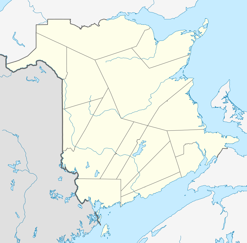
Quadratische Plattkarte, N-S-Streckung 145 %. Geographische Begrenzung der Karte:
Equirectangular projection, N/S stretching 145 %. Geographic limits of the map:
|
| 日期 | |
| 来源 |
自己的作品, using
|
| 作者 | NordNordWest |
| 授权 (二次使用本文件) |
我,本作品著作权人,特此采用以下许可协议发表本作品: 本文件采用知识共享署名-相同方式共享 3.0 未本地化版本许可协议授权。
|
| 其他版本 |
Derivative works of this file: |

|
|
文件历史
点击某个日期/时间查看对应时刻的文件。
| 日期/时间 | 缩略图 | 大小 | 用户 | 备注 | |
|---|---|---|---|---|---|
| 当前 | 2009年9月28日 (一) 14:04 | | 1,411 × 1,388(500 KB) | NordNordWest(留言 | 贡献) | |
| 2009年8月25日 (二) 17:55 |  | 1,411 × 1,388(495 KB) | NordNordWest(留言 | 贡献) | {{int:filedesc}} {{Information |Description= {{de|Positionskarte von New Brunswick, Kanada}} Quadratische Plattkarte, N-S-Streckung 145 %. Geographische Begrenzung der Karte: * N: 48.3° N * S: 44.5° N * W: 69.2° W * |
您不可以覆盖此文件。
文件用途
以下20个页面使用本文件:
- User:NordNordWest/Gallery/Location maps
- File:Map of New Brunswick highlighting Albert County.png
- File:Map of New Brunswick highlighting Carleton County.png
- File:Map of New Brunswick highlighting Charlotte County.png
- File:Map of New Brunswick highlighting Gloucester County.png
- File:Map of New Brunswick highlighting Kent County.png
- File:Map of New Brunswick highlighting Kings County.png
- File:Map of New Brunswick highlighting Madawaska County.png
- File:Map of New Brunswick highlighting Northumberland County.png
- File:Map of New Brunswick highlighting Queens County.png
- File:Map of New Brunswick highlighting Restigouche County.png
- File:Map of New Brunswick highlighting Saint John County.png
- File:Map of New Brunswick highlighting Sunbury County.png
- File:Map of New Brunswick highlighting Victoria County.png
- File:Map of New Brunswick highlighting Westmorland County.png
- File:New Brunswick general election, 1974 results by riding.svg
- File:New Brunswick general election, 1982 results by riding.svg
- File:New Brunswick general election, 1991 results by riding.svg
- File:New Brunswick general election 1978 - Results by Riding.svg
- File:New Brunswick general election 1987 - Results by Riding.svg
全域文件用途
以下其他wiki使用此文件:
- ar.wikipedia.org上的用途
- ba.wikipedia.org上的用途
- cs.wikipedia.org上的用途
- de.wikipedia.org上的用途
- Saint John (New Brunswick)
- Moncton
- Akadische Halbinsel
- Rothesay (New Brunswick)
- New Maryland
- Kernkraftwerk Point Lepreau
- Mount Carleton
- Dieppe (New Brunswick)
- Deer Island (New Brunswick)
- Campobello Island
- Mulholland Point Lighthouse
- Edmundston
- Wikipedia:Kartenwerkstatt/Positionskarten/Nordamerika
- Hartland (New Brunswick)
- Hartland Bridge
- Moncton Coliseum
- Vorlage:Positionskarte Kanada New Brunswick
- Sussex (New Brunswick)
- Bathurst (New Brunswick)
- TD Station
- K. C. Irving Regional Centre
- Harvey Station
- Saint-Léonard (New Brunswick)
- Grand Manan Island
- Campbellton (New Brunswick)
- Shediac
- Miramichi
- Chatham (New Brunswick)
- Moncton Stadium
- Dalhousie (New Brunswick)
- Minto (New Brunswick)
- Rogersville (New Brunswick)
- Belledune
- Escuminac (New Brunswick)
- Blackville (New Brunswick)
- Doaktown
- Richibucto
- Bouctouche
- Augustine Mound
- Hopewell Cape
- Hillsborough (New Brunswick)
- Neguac
- Florenceville-Bristol
- Oromocto
- Saint-Quentin (New Brunswick)
- Grand Falls (New Brunswick)
- Plaster Rock
查看此文件的更多全域用途。