File:Canada Newfoundland and Labrador location map.svg
پرش به ناوبری
پرش به جستجو

حجم پیشنمایش PNG این SVG file:۴۱۹ × ۵۹۹ پیکسل کیفیتهای دیگر: ۱۶۸ × ۲۴۰ پیکسل | ۳۳۶ × ۴۸۰ پیکسل | ۵۳۷ × ۷۶۸ پیکسل | ۷۱۶ × ۱٬۰۲۴ پیکسل | ۱٬۴۳۲ × ۲٬۰۴۸ پیکسل | ۱٬۵۱۲ × ۲٬۱۶۲ پیکسل.
پروندهٔ اصلی (پروندهٔ اسویجی، با ابعاد ۱٬۵۱۲ × ۲٬۱۶۲ پیکسل، اندازهٔ پرونده: ۱٫۱۵ مگابایت)
گزینهها
عنوان
شرحی یکخطی از محتوای این فایل اضافه کنید
خلاصه[ویرایش]
| توضیح |
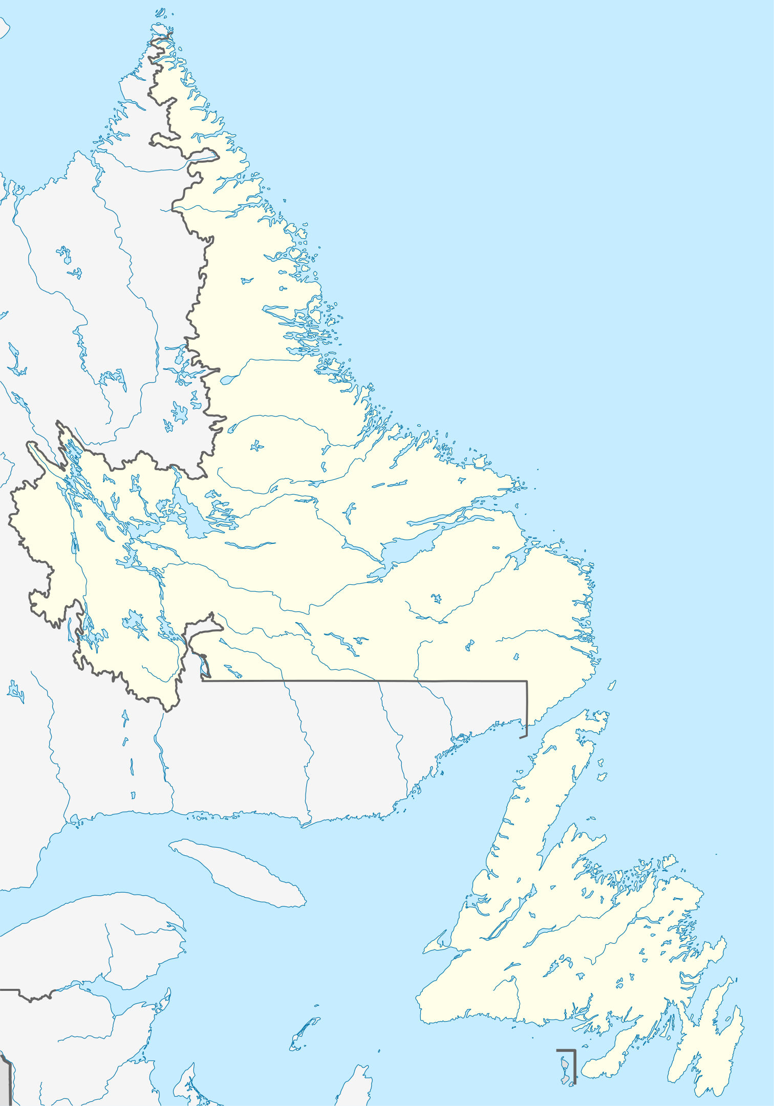
Quadratische Plattkarte, N-S-Streckung 160 %. Geographische Begrenzung der Karte:
Equirectangular projection, N/S stretching 160 %. Geographic limits of the map:
|
| تاریخ | |
| منبع |
اثر شخصی, using
|
| پدیدآور | NordNordWest |
| اجازهنامه (استفادهٔ مجدد از این پرونده) |
من، صاحب حقوق قانونی این اثر، به این وسیله این اثر را تحث اجازهنامهٔ ذیل منتشر میکنم: این پرونده با اجازهنامهٔ کریتیو کامانز Attribution-Share Alike 3.0 سازگار نشده منتشر شده است.
|
| دیگر نسخهها |
آثار انشقاقی از این پرونده: Labrador Region Map with Towns and Highway.svg
|


|
این نقشه در Kartenwerkstatt "(آزمایشگاه نقشه)" آلمانی ساخته یا بهبود یافته است. همچنین می توانید نقشه هایی را برای بهبود پیشنهاد دهید.
|
تاریخچهٔ پرونده
روی تاریخ/زمانها کلیک کنید تا نسخهٔ مربوط به آن هنگام را ببینید.
| تاریخ/زمان | بندانگشتی | ابعاد | کاربر | توضیح | |
|---|---|---|---|---|---|
| کنونی | ۲۸ اوت ۲۰۰۹، ساعت ۱۴:۳۸ | | ۱٬۵۱۲ در ۲٬۱۶۲ (۱٫۱۵ مگابایت) | NordNordWest (بحث | مشارکتها) | {{int:filedesc}} {{Information |Description= {{de|Positionskarte von Neufundland und Labrador, Kanada}} Quadratische Plattkarte, N-S-Streckung 160 %. Geographische Begrenzung der Karte: * N: 60.8° N * S: 46 |
شما نمیتوانید این پرونده را رونویسی کنید.
کاربرد پرونده
صفحههای زیر از این تصویر استفاده میکنند:
کاربرد سراسری پرونده
ویکیهای دیگر زیر از این پرونده استفاده میکنند:
- کاربرد در af.wikipedia.org
- کاربرد در ar.wikipedia.org
- کاربرد در ba.wikipedia.org
- کاربرد در ce.wikipedia.org
- کاربرد در cs.wikipedia.org
- کاربرد در de.wikipedia.org
- St. John’s (Neufundland)
- Gros-Morne-Nationalpark
- Dildo (Neufundland)
- Gander
- Wasserkraftwerk Churchill Falls
- Channel-Port aux Basques
- Peterview
- Grand Falls-Windsor
- Badger (Neufundland und Labrador)
- Labrador City
- Happy Valley-Goose Bay
- L’Anse-au-Clair
- Red Bay (Neufundland und Labrador)
- Gander International Airport
- Mount Pearl
- Corner Brook
- Deer Lake (Neufundland)
- Stephenville (Neufundland)
- Twillingate
- Conception Bay South
- St. Anthony (Neufundland)
- L’Anse-Amour
- Arnold’s Cove
- North River (Town, Neufundland)
- Wikipedia:Kartenwerkstatt/Positionskarten/Nordamerika
- Ferryland
- Vorlage:Positionskarte Kanada Neufundland und Labrador
- Cape St. Mary’s
- Benutzer:Zuviele Interessen/Hvítramannaland
- Cape Race Lighthouse
- Come By Chance (Neufundland und Labrador)
- Point of Bay
- Mary Brown’s Centre
- Wabush
- Stephenville International Airport
- Admirals Beach
- Harbour Grace
- Point Rosee
- Sop’s Arm
- Vorlage:Positionskarte Kanada Neufundland
- Point Amour Lighthouse
- World U-17 Hockey Challenge 2004
- Placentia (Neufundland und Labrador)
نمایش استفادههای سراسری از این پرونده.