File:CaribbeanVolcanoMap (cropped).gif
Jump to navigation
Jump to search
No higher resolution available.
CaribbeanVolcanoMap_(cropped).gif (511 × 252 pixels, file size: 9 KB, MIME type: image/gif)
Captions
Captions
Add a one-line explanation of what this file represents
Summary[edit]
| Description |
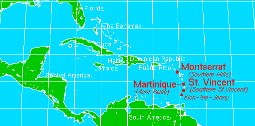
English: USGS map (Topinka, USGSICVO, 2000, Using PARC Map View Basemap, 1997)
中文(中国大陆):USGS地图 (Topinka, USGSICVO, 2000, Using PARC Map View Basemap, 1997) |
|||
| Date | ||||
| Source | http://vulcan.wr.usgs.gov/Imgs/Gif/WestIndies/Maps/map_caribbean.gif | |||
| Author | USGS | |||
| Permission (Reusing this file) |
|
|||
| Other versions |

.gif&action=edit§ion=1)
Original upload log[edit]
.gif&action=edit§ion=2)
The original description page was here. All following user names refer to en.wikipedia.
| Date/Time | Dimensions | User | Comment |
|---|---|---|---|
| 2005-12-03 20:16 | 525×365× (12589 bytes) | Gruepig | USGS map (Topinka, USGSICVO, 2000, Using PARC Map View Basemap, 1997) http://vulcan.wr.usgs.gov/Imgs/Gif/WestIndies/Maps/map_caribbean.gif |
The original description page was here. All following user names refer to zh.wikipedia.
| Date/Time | Dimensions | User | Comment |
|---|---|---|---|
| 2008-03-09 05:58 | 525×365× (12589 bytes) | Benjamin Liu | {{PD-USGov-Interior-USGS}} |
File history
Click on a date/time to view the file as it appeared at that time.
| Date/Time | Thumbnail | Dimensions | User | Comment | |
|---|---|---|---|---|---|
| current | 09:09, 10 February 2018 | | 511 × 252 (9 KB) | GreenMeansGo (talk | contribs) | File:CaribbeanVolcanoMap.gif cropped 3 % horizontally and 31 % vertically using CropTool with gif mode. |
You cannot overwrite this file.
File usage on Commons
The following page uses this file:
File usage on other wikis
The following other wikis use this file:
- Usage on en.wikipedia.org
- Usage on sl.wikipedia.org
.gif&oldid=848497080)