File:Carmarthenshire UK location map.svg
跳转到导航
跳转到搜索

此SVG文件的PNG预览的大小:769 × 600像素。 其他分辨率:308 × 240像素 | 616 × 480像素 | 985 × 768像素 | 1,280 × 998像素 | 2,560 × 1,996像素 | 1,425 × 1,111像素。
原始文件 (SVG文件,尺寸为1,425 × 1,111像素,文件大小:1.29 MB)
说明
说明
添加一行文字以描述该文件所表现的内容
| 描述 |
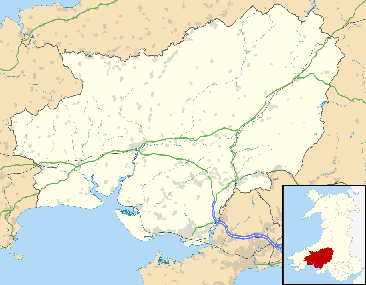
Blank map of Carmarthenshire, UK with the following information shown:
Equirectangular map projection on WGS 84 datum, with N/S stretched 160% Geographic limits:
|
| 日期 | |
| 来源 |
|
| 作者 | Nilfanion, created using Ordnance Survey data |
| 授权 (二次使用本文件) |
本文件采用知识共享署名-相同方式共享 3.0 未本地化版本许可协议授权。 署名: Contains Ordnance Survey data © Crown copyright and database right
|
| 其他版本 | File:Carmarthenshire UK map.svg - Blank map |
文件历史
点击某个日期/时间查看对应时刻的文件。
| 日期/时间 | 缩略图 | 大小 | 用户 | 备注 | |
|---|---|---|---|---|---|
| 当前 | 2010年9月26日 (日) 19:31 | | 1,425 × 1,111(1.29 MB) | Nilfanion(留言 | 贡献) | {{Information |Description=Blank map of Carmarthenshire, UK with the following information shown: *Administrative borders *Coastline, lakes and rivers *Roads and railways *Urban areas Equirectangular map projection on WGS 84 datum, |
您不可以覆盖此文件。
文件用途
以下页面使用本文件:
全域文件用途
以下其他wiki使用此文件:
- ar.wikipedia.org上的用途
- azb.wikipedia.org上的用途
- ceb.wikipedia.org上的用途
- cy.wikipedia.org上的用途
- en.wikipedia.org上的用途
- List of monastic houses in Wales
- Carmarthenshire
- Llanelli
- Carmarthen
- Ammanford
- Llwynhendy
- Llandeilo
- Newcastle Emlyn
- Whitland
- Burry Port
- Kidwelly
- Llandovery
- Abergwili
- Laugharne
- Cenarth
- St Clears
- Glanamman
- Pendine Sands
- Pembrey Sands Air Weapons Range
- Pembrey
- Pembrey Airport
- Llanybydder
- Betws, Carmarthenshire
- Bancyfelin
- Carreg Cennen Castle
- Aber-arad
- Abergorlech
- Abernant, Carmarthenshire
- Felinfoel
- Myddfai
- Cross Hands
- Brynamman
- Pantyffynnon
- Ferryside television relay station
- Ferryside
- Llansteffan
- Kidwelly Castle
- Garnant
- Eglwyscummin
- Pencader, Carmarthenshire
- Pontyberem
- Llangain
- Caio, Carmarthenshire
- Bryn, Llanelli
- Pemberton, Carmarthenshire
查看此文件的更多全域用途。