File:Carte du Missouri - levee ou rectifiée dans toute son etendue LOC 2003627086.tif
Jump to navigation
Jump to search

Size of this JPG preview of this TIF file: 774 × 600 pixels. Other resolutions: 310 × 240 pixels | 620 × 480 pixels | 991 × 768 pixels | 1,280 × 992 pixels | 2,560 × 1,984 pixels | 4,779 × 3,703 pixels.
Original file (4,779 × 3,703 pixels, file size: 50.63 MB, MIME type: image/tiff)
Captions
Captions
Add a one-line explanation of what this file represents
Summary
[edit]| Description |
English: Available also through the Library of Congress web site as a raster image. |
||
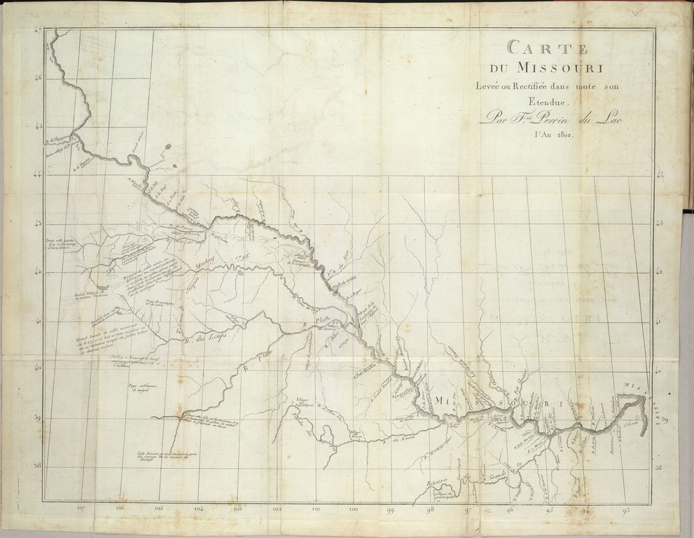
| Title | Carte du Missouri : levee ou rectifiée dans toute son etendue | ||
| Shelf ID | F373 .P45 G4052.M5 | ||
| Date | |||
| Source | https://www.loc.gov/item/2003627086/ | ||
| Author | Perrin Du Lac, (François Marie); Perrin Du Lac | ||
| Permission (Reusing this file) |
|
||
| Other versions |
|
||
| Location | United States · West · Missouri River | ||
| Part of | American Memory · Catalog · Louisiana: European Explorations And The Louisiana Purchase · Geography And Map Division · Discovery And Exploration | ||
| Subject | Missouri River · West · West (U.S.) · United States · Maps · Discovery And Exploration |


Licensing
[edit]|
This is a faithful photographic reproduction of a two-dimensional, public domain work of art. The work of art itself is in the public domain for the following reason:
The official position taken by the Wikimedia Foundation is that "faithful reproductions of two-dimensional public domain works of art are public domain".
This photographic reproduction is therefore also considered to be in the public domain in the United States. In other jurisdictions, re-use of this content may be restricted; see Reuse of PD-Art photographs for details. | ||||
File history
Click on a date/time to view the file as it appeared at that time.
| Date/Time | Thumbnail | Dimensions | User | Comment | |
|---|---|---|---|---|---|
| current | 17:46, 24 August 2018 |  | 4,779 × 3,703 (50.63 MB) | Fæ (talk | contribs) | LOC Maps https://www.loc.gov/item/2003627086/ #5212 |
You cannot overwrite this file.
File usage on Commons
The following page uses this file: