File:China Tibet location map.svg
跳至導覽
跳至搜尋

此 SVG 檔案的 PNG 預覽的大小:800 × 452 像素。 其他解析度:320 × 181 像素 | 640 × 361 像素 | 1,024 × 578 像素 | 1,280 × 723 像素 | 2,560 × 1,446 像素 | 2,013 × 1,137 像素。
原始檔案 (SVG 檔案,表面大小:2,013 × 1,137 像素,檔案大小:465 KB)
說明
說明
添加單行說明來描述出檔案所代表的內容
摘要
[編輯]| 描述 |
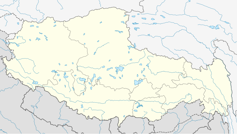
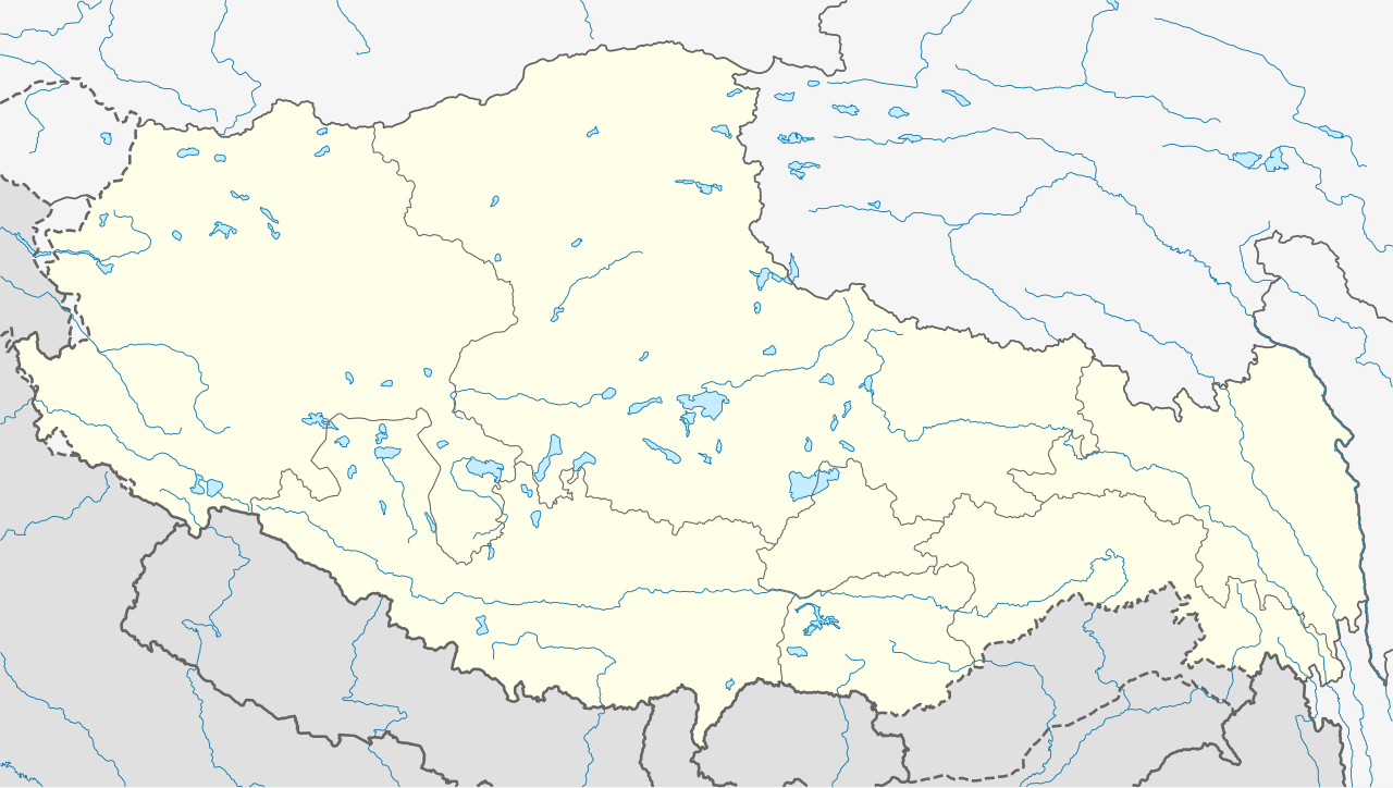
Deutsch: Positionskarte von Autonomes Gebiet Tibet, Volksrepublik China
Quadratische Plattkarte, N-S-Streckung 118 %. Geographische Begrenzung der Karte:
English: Location map of Tibet Autonomous Region, People's Republic of China
Equirectangular projection, N/S stretching 118 %. Geographic limits of the map:
|
|
| 日期 | ||
| 來源 |
自己的作品, using
|
|
| 作者 | NordNordWest | |
| 授權許可 (重用此檔案) |
此檔案採用創用CC 姓名標示-相同方式分享 3.0 德國授權條款。
 此檔案採用創用CC 姓名標示-相同方式分享 3.0 德國授權條款。
|
|
| SVG開發 |


檔案歷史
點選日期/時間以檢視該時間的檔案版本。
| 日期/時間 | 縮圖 | 尺寸 | 使用者 | 備註 | |
|---|---|---|---|---|---|
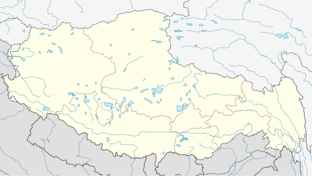
| 目前 | 2020年5月22日 (五) 08:24 | | 2,013 × 1,137(465 KB) | NordNordWest(留言 | 貢獻) | Reverted to version as of 10:41, 29 January 2019 (UTC); AGAIN: only vector data in this svg please |
| 2020年5月21日 (四) 21:38 |  | 2,013 × 1,137(595 KB) | Geographyinitiative(留言 | 貢獻) | Reverted to version as of 06:29, 29 January 2019 (UTC) part of Aksai Chin is under TAR jurisdiction | |
| 2019年1月29日 (二) 10:41 |  | 2,013 × 1,137(465 KB) | NordNordWest(留言 | 貢獻) | Reverted to version as of 12:39, 8 May 2013 (UTC); only vector data in this svg please | |
| 2019年1月29日 (二) 06:29 |  | 2,013 × 1,137(595 KB) | 复旦大学张超(留言 | 貢獻) | edit | |
| 2013年5月8日 (三) 12:39 |  | 2,013 × 1,137(465 KB) | NordNordWest(留言 | 貢獻) | upd | |
| 2013年5月8日 (三) 12:38 |  | 2,013 × 1,137(465 KB) | NordNordWest(留言 | 貢獻) | upd | |
| 2010年2月23日 (二) 13:28 |  | 2,013 × 1,137(639 KB) | NordNordWest(留言 | 貢獻) | upd | |
| 2009年12月10日 (四) 20:41 |  | 2,013 × 1,138(632 KB) | NordNordWest(留言 | 貢獻) | =={{int:filedesc}}== {{Information |Description= {{de|Positionskarte von Autonomes Gebiet Tibet, Volksrepublik China}} Quadratische Plattkarte, N-S-Streckung 118 %. Geographische Begrenzung der Ka |
無法覆蓋此檔案。
檔案用途
下列10個頁面有用到此檔案:
- User:NordNordWest/Gallery/Location maps
- File:China Tibet Autonomous Region location map.svg (檔案重新導向)
- File talk:India Jammu and Kashmir state location map.svg
- Category:Archaeological sites in Tibet
- Category:Churches in Tibet
- Category:Lakes of Tibet
- Category:Mosques in Tibet
- Category:Power plants in Tibet Autonomous Region
- Category:Suspension bridges in Tibet
- Category:Tibet Autonomous Region
全域檔案使用狀況
以下其他 wiki 使用了這個檔案:
- ar.wikipedia.org 的使用狀況
- ba.wikipedia.org 的使用狀況
- be.wikipedia.org 的使用狀況
- bg.wikipedia.org 的使用狀況
- bn.wikipedia.org 的使用狀況
- লোৎসে
- কৈলাস পর্বত
- ব্সাম-য়াস বৌদ্ধবিহার
- টেমপ্লেট:অবস্থান মানচিত্র চীন তিব্বত
- খ্রা-ব্রুগ বৌদ্ধবিহার
- টেমপ্লেট:অবস্থান মানচিত্র China Tibet
- র্দো-র্জে-ব্রাগ বৌদ্ধবিহার
- দ্গা'-ল্দান বৌদ্ধবিহার
- 'ব্রাস-স্পুংস বৌদ্ধবিহার
- সাঙ্গা বৌদ্ধবিহার
- মডিউল:অবস্থান মানচিত্র/উপাত্ত/চীন তিব্বত
- মডিউল:অবস্থান মানচিত্র/উপাত্ত/চীন তিব্বত/নথি
- লিপুলেখ গিরিপথ
- পুমোরি
- cdo.wikipedia.org 的使用狀況
- ceb.wikipedia.org 的使用狀況
- cs.wikipedia.org 的使用狀況
- cv.wikipedia.org 的使用狀況
- en.wikipedia.org 的使用狀況
- eo.wikipedia.org 的使用狀況
- es.wikipedia.org 的使用狀況
- fa.wikipedia.org 的使用狀況
檢視此檔案的更多全域使用狀況。