File:Clear-cut on Gearr Chreag - geograph.org.uk - 1800647.jpg
Jump to navigation
Jump to search

Size of this preview: 800 × 600 pixels. Other resolutions: 320 × 240 pixels | 640 × 480 pixels | 1,024 × 768 pixels | 1,280 × 960 pixels | 2,560 × 1,920 pixels | 2,880 × 2,160 pixels.
Original file (2,880 × 2,160 pixels, file size: 1.63 MB, MIME type: image/jpeg)
Captions
Captions
Add a one-line explanation of what this file represents
Summary
[edit]| Description |
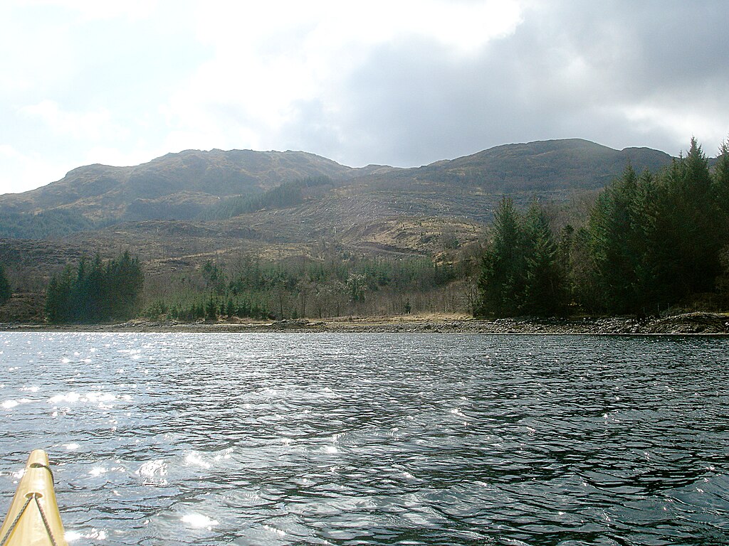
English: Clear-cut on Gearr Chreag A large area of conifer plantation on the east side of Gearr Chreag has been clear-cut, revealing a ravaged landscape of drainage channels on the hillside. Scars suggest that logs have been dragged down to the forestry track for extraction, possibly by boat via the substantial jetty just to the southeast. |
| Date | |
| Source | From geograph.org.uk |
| Author | Andy Waddington |
| Attribution (required by the license) | Andy Waddington / Clear-cut on Gearr Chreag / |
| Camera location | | View this and other nearby images on: OpenStreetMap |
|---|
| Object location | | View this and other nearby images on: OpenStreetMap |
|---|
Licensing
[edit]
|
This image was taken from the Geograph project collection. See this photograph's page on the Geograph website for the photographer's contact details. The copyright on this image is owned by Andy Waddington and is licensed for reuse under the Creative Commons Attribution-ShareAlike 2.0 license.
|
This file is licensed under the Creative Commons Attribution-Share Alike 2.0 Generic license.
Attribution: Andy Waddington
- You are free:
- to share – to copy, distribute and transmit the work
- to remix – to adapt the work
- Under the following conditions:
- attribution – You must give appropriate credit, provide a link to the license, and indicate if changes were made. You may do so in any reasonable manner, but not in any way that suggests the licensor endorses you or your use.
- share alike – If you remix, transform, or build upon the material, you must distribute your contributions under the same or compatible license as the original.

_heading:180.00&language=en)
_heading:180.00&language=en)
File history
Click on a date/time to view the file as it appeared at that time.
| Date/Time | Thumbnail | Dimensions | User | Comment | |
|---|---|---|---|---|---|
| current | 12:34, 14 March 2011 | | 2,880 × 2,160 (1.63 MB) | GeographBot (talk | contribs) | == {{int:filedesc}} == {{Information |description={{en|1=Clear-cut on Gearr Chreag A large area of conifer plantation on the east side of Gearr Chreag has been clear-cut, revealing a ravaged landscape of drainage channels on the hillside. Scars suggest th |
You cannot overwrite this file.
File usage on Commons
There are no pages that use this file.