File:Cleygate Common - geograph.org.uk - 1327363.jpg
Jump to navigation
Jump to search
No higher resolution available.
Cleygate_Common_-_geograph.org.uk_-_1327363.jpg (640 × 427 pixels, file size: 88 KB, MIME type: image/jpeg)
Captions
Captions
Add a one-line explanation of what this file represents
Summary[edit]
| Description |
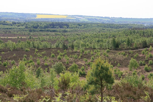
English: Cleygate Common View over Cleygate Common taken from just below Crown Prince Hill. This is all MOD-owned land marked 'Danger Area' on OS maps. It is open to the public on a few days throughout the year, notably at Bank Holiday weekends (see http://www.mod.uk/NR/rdonlyres/92FA4607-8C25-41D5-A1E2-78F02A321A5C/0/ashandpirbright.pdf .) The oilseed rape field in the distance is on the north slope of the Hog's Back (North Downs). |
| Date | |
| Source | From geograph.org.uk |
| Author | Paul Smith |
| Camera location | | View this and other nearby images on: OpenStreetMap |
|---|
_heading:180.00&language=en)
| Object location | | View this and other nearby images on: OpenStreetMap |
|---|
_heading:180.00&language=en)
Licensing[edit]

|
This image was taken from the Geograph project collection. See this photograph's page on the Geograph website for the photographer's contact details. The copyright on this image is owned by Paul Smith and is licensed for reuse under the Creative Commons Attribution-ShareAlike 2.0 license.
|
This file is licensed under the Creative Commons Attribution-Share Alike 2.0 Generic license.
Attribution: Paul Smith
- You are free:
- to share – to copy, distribute and transmit the work
- to remix – to adapt the work
- Under the following conditions:
- attribution – You must give appropriate credit, provide a link to the license, and indicate if changes were made. You may do so in any reasonable manner, but not in any way that suggests the licensor endorses you or your use.
- share alike – If you remix, transform, or build upon the material, you must distribute your contributions under the same or compatible license as the original.
File history
Click on a date/time to view the file as it appeared at that time.
| Date/Time | Thumbnail | Dimensions | User | Comment | |
|---|---|---|---|---|---|
| current | 20:31, 27 February 2011 | | 640 × 427 (88 KB) | GeographBot (talk | contribs) | == {{int:filedesc}} == {{Information |description={{en|1=Cleygate Common View over Cleygate Common taken from just below Crown Prince Hill. This is all MOD-owned land marked 'Danger Area' on OS maps. It is open to the public on a few days throughout the y |
You cannot overwrite this file.
File usage on Commons
The following page uses this file:
File usage on other wikis
The following other wikis use this file:
- Usage on en.wikipedia.org
- Usage on www.wikidata.org