File:Cornwall UK relief location map.jpg
Ir a la navegación
Ir a la búsqueda

Tamaño de esta previsualización: 800 × 588 píxeles. Otras resoluciones: 320 × 235 píxeles | 640 × 470 píxeles | 1024 × 753 píxeles | 1280 × 941 píxeles | 1999 × 1469 píxeles.
Archivo original (1999 × 1469 píxeles; tamaño de archivo: 227 kB; tipo MIME: image/jpeg)
Leyendas
Leyendas
Añade una explicación corta acerca de lo que representa este archivo
| Descripción |
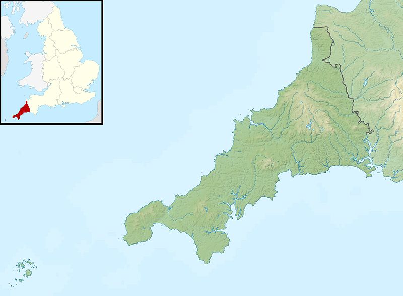
Relief map of Cornwall, UK. Equirectangular map projection on WGS 84 datum, with N/S stretched 150% Geographic limits:
|
| Fecha | |
| Fuente |
|
| Autor | Nilfanion, created using Ordnance Survey data |
| Permiso (Reutilización de este archivo) |
Este archivo se encuentra bajo la licencia Creative Commons Genérica de Atribución/Compartir-Igual 3.0. Atribución: Contains Ordnance Survey data © Crown copyright and database right
|
| Otras versiones |
File:Cornwall UK district map (blank).svg - Blank map File:Cornwall UK mainland relief location map.jpg - Without Isles of Scilly |
.svg)
Historial del archivo
Haz clic sobre una fecha y hora para ver el archivo tal como apareció en ese momento.
| Fecha y hora | Miniatura | Dimensiones | Usuario | Comentario | |
|---|---|---|---|---|---|
| actual | 01:23 29 nov 2011 | | 1999 × 1469 (227 kB) | Nilfanion (discusión | contribs.) | {{Information |Description=Relief map of Cornwall, UK. Equirectangular map projection on WGS 84 datum, with N/S stretched 150% Geographic limits: *West: 6.47W *East: 4.00W *North: 51.04N *South: 49.83N |Source=[[w:Ordnance Survey|Ordnance |
No puedes sobrescribir este archivo.
Usos del archivo
No hay páginas que enlacen a este archivo.
Uso global del archivo
Las wikis siguientes utilizan este archivo:
- Uso en ar.wikipedia.org
- Uso en bg.wikipedia.org
- Uso en ceb.wikipedia.org
- Uso en cs.wikipedia.org
- Uso en en.wikipedia.org
- Battle of Lostwithiel
- Longships, Cornwall
- Pentire Head
- Drift Reservoir
- St Mary's Lifeboat Station
- Kynance Cove
- Tintagel Old Post Office
- Dozmary Pool
- Tournament Players Championship (United Kingdom)
- Cornwall and West Devon Mining Landscape
- Padstow Lifeboat Station
- Hayle Estuary
- Module:Location map/data/United Kingdom Cornwall/doc
- Dodman Point
- Stepper Point
- Porth Reservoir
- Crowdy Reservoir
- Cribbar
- The Lizard Lifeboat Station
- Colliford Lake
- Falmouth Lifeboat Station
- Fowey Lifeboat Station
- St Ives Lifeboat Station
- Penlee Lifeboat Station
- Sennen Cove Lifeboat Station
- The Loe
- Stithians Reservoir
- Falmouth Synagogue
- Treverbyn Vean
- Helman Tor
- Upper Tamar Lake
- St Agnes Lifeboat Station, Isles of Scilly
- Port Isaac Lifeboat Station
- Basset Mines
- Carnon River
- Module:Location map/data/United Kingdom Cornwall
- Module:Location map/data/Cornwall
- Newquay Bay
Ver más uso global de este archivo.