File:DETAIL OF CULL BIN, CONVEYOR, WEST SIDE - Escondido Orange Association Packing House, 1155 West Mission Avenue, Escondido, San Diego County, CA HAER CAL,37-ESCO,1-10.tif
Jump to navigation
Jump to search
Size of this JPG preview of this TIF file: 750 × 600 pixels. Other resolutions: 300 × 240 pixels | 601 × 480 pixels | 961 × 768 pixels | 1,280 × 1,023 pixels | 2,560 × 2,046 pixels | 5,000 × 3,997 pixels.
Original file (5,000 × 3,997 pixels, file size: 19.06 MB, MIME type: image/tiff)
Captions
Captions
Add a one-line explanation of what this file represents
Summary[edit]
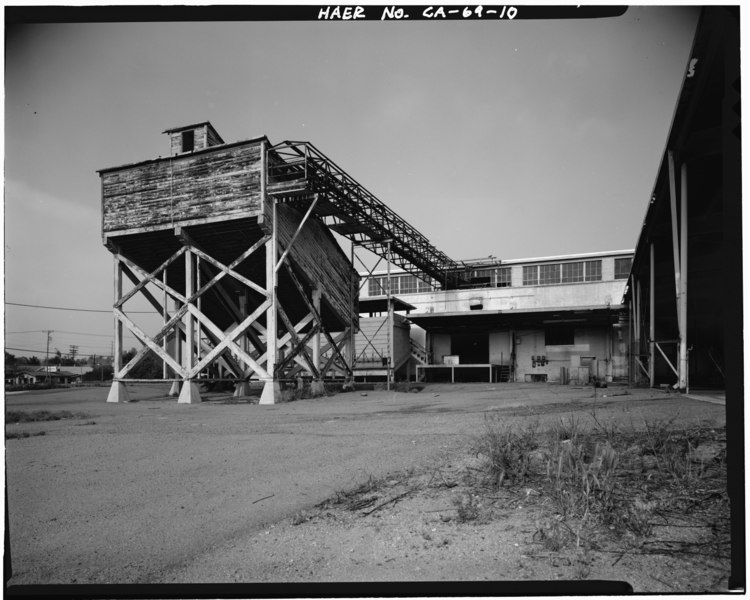
| DETAIL OF CULL BIN, CONVEYOR, WEST SIDE - Escondido Orange Association Packing House, 1155 West Mission Avenue, Escondido, San Diego County, CA | ||||
|---|---|---|---|---|
| Photographer |
Kolva, H. J. Related names:
|
|||
| Title |
DETAIL OF CULL BIN, CONVEYOR, WEST SIDE - Escondido Orange Association Packing House, 1155 West Mission Avenue, Escondido, San Diego County, CA |
|||
| Depicted place | California; San Diego County; Escondido | |||
| Date | 1989 | |||
| Dimensions | 4 x 5 in. | |||
| Current location |
Library of Congress Prints and Photographs Division Washington, D.C. 20540 USA http://hdl.loc.gov/loc.pnp/pp.print |
|||
| Accession number |
HAER CAL,37-ESCO,1-10 |
|||
| Credit line |
|
|||
| Notes |
|
|||
| Source | https://www.loc.gov/pictures/item/ca1547.photos.015053p | |||
| Permission (Reusing this file) |
|
|||

| Object location | | View this and other nearby images on: OpenStreetMap |
|---|
File history
Click on a date/time to view the file as it appeared at that time.
| Date/Time | Thumbnail | Dimensions | User | Comment | |
|---|---|---|---|---|---|
| current | 19:34, 3 July 2014 |  | 5,000 × 3,997 (19.06 MB) | Fæ (talk | contribs) | GWToolset: Creating mediafile for Fæ. HABS batch upload 2 July 2014 (301:400) |
You cannot overwrite this file.
File usage on Commons
The following page uses this file: