File:DETAIL OF DRIVE GEARS, FROM SOUTHWEST - Fort Madison Bridge, Spanning Mississippi River at U.S. Highway 61, Fort Madison, Lee County, IA HAER IOWA,56-FMAD.1-9.tif
Jump to navigation
Jump to search
Size of this JPG preview of this TIF file: 747 × 599 pixels. Other resolutions: 299 × 240 pixels | 598 × 480 pixels | 957 × 768 pixels | 1,277 × 1,024 pixels | 2,553 × 2,048 pixels | 5,000 × 4,011 pixels.
Original file (5,000 × 4,011 pixels, file size: 19.13 MB, MIME type: image/tiff)
Captions
Captions
Add a one-line explanation of what this file represents
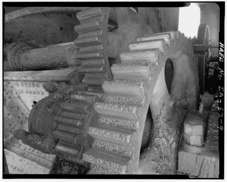
| DETAIL OF DRIVE GEARS, FROM SOUTHWEST - Fort Madison Bridge, Spanning Mississippi River at U.S. Highway 61, Fort Madison, Lee County, IA | ||||
|---|---|---|---|---|
| Photographer |
Related names:
|
|||
| Title |
DETAIL OF DRIVE GEARS, FROM SOUTHWEST - Fort Madison Bridge, Spanning Mississippi River at U.S. Highway 61, Fort Madison, Lee County, IA |
|||
| Depicted place | Iowa; Lee County; Fort Madison | |||
| Date | Documentation compiled after 1968 | |||
| Dimensions | 4 x 5 in. | |||
| Current location |
Library of Congress Prints and Photographs Division Washington, D.C. 20540 USA http://hdl.loc.gov/loc.pnp/pp.print |
|||
| Accession number |
HAER IOWA,56-FMAD.1-9 |
|||
| Credit line |
|
|||
| Notes |
|
|||
| Source | https://www.loc.gov/pictures/item/ia0438.photos.051444p | |||
| Permission (Reusing this file) |
|
|||

| Object location | | View this and other nearby images on: OpenStreetMap |
|---|
File history
Click on a date/time to view the file as it appeared at that time.
| Date/Time | Thumbnail | Dimensions | User | Comment | |
|---|---|---|---|---|---|
| current | 12:26, 14 July 2014 |  | 5,000 × 4,011 (19.13 MB) | Fæ (talk | contribs) | GWToolset: Creating mediafile for Fæ. HABS 11 July 2014 (1001:1200) |
You cannot overwrite this file.
File usage on Commons
The following page uses this file: