File:DETAIL OF THE ROD ON SOUTHWEST CORNER FACING NORTHEAST - U.S. Naval Air Station, Storehouse Building, Pensacola, Escambia County, FL HABS FLA,17-PENSA,87-16.tif
Jump to navigation
Jump to search

Size of this JPG preview of this TIF file: 489 × 599 pixels. Other resolutions: 196 × 240 pixels | 392 × 480 pixels | 626 × 768 pixels | 835 × 1,024 pixels | 1,671 × 2,048 pixels | 4,236 × 5,192 pixels.
Original file (4,236 × 5,192 pixels, file size: 20.98 MB, MIME type: image/tiff)
Captions
Captions
Add a one-line explanation of what this file represents
Summary
[edit]| DETAIL OF THE ROD ON SOUTHWEST CORNER FACING NORTHEAST - U.S. Naval Air Station, Storehouse Building, Pensacola, Escambia County, FL | ||||
|---|---|---|---|---|
| Photographer |
Hughes, Karen Related names:
|
|||
| Title |
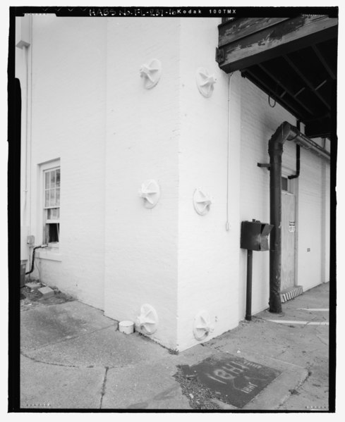
DETAIL OF THE ROD ON SOUTHWEST CORNER FACING NORTHEAST - U.S. Naval Air Station, Storehouse Building, Pensacola, Escambia County, FL |
|||
| Depicted place | Florida; Escambia County; Pensacola | |||
| Date | 2005 | |||
| Dimensions | 4 x 5 in. | |||
| Current location |
Library of Congress Prints and Photographs Division Washington, D.C. 20540 USA http://hdl.loc.gov/loc.pnp/pp.print |
|||
| Accession number |
HABS FLA,17-PENSA,87-16 |
|||
| Credit line |
|
|||
| Notes |
|
|||
| References |
|
|||
| Source | https://www.loc.gov/pictures/item/fl0071.photos.204619p | |||
| Permission (Reusing this file) |
|
|||

| Object location | | View this and other nearby images on: OpenStreetMap |
|---|
File history
Click on a date/time to view the file as it appeared at that time.
| Date/Time | Thumbnail | Dimensions | User | Comment | |
|---|---|---|---|---|---|
| current | 06:37, 11 July 2014 |  | 4,236 × 5,192 (20.98 MB) | Fæ (talk | contribs) | GWToolset: Creating mediafile for Fæ. HABS 09 July 2014 (801:1000) |
You cannot overwrite this file.
File usage on Commons
The following page uses this file: