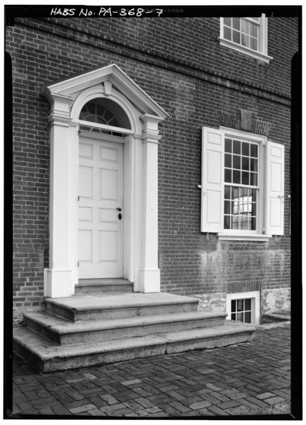
File:DETAIL VIEW OF ENTRANCE FRONTISPIECE - Rockford, Rock Ford Road (West Lampeter Township), Lancaster, Lancaster County, PA HABS PA,36-LANC.V,1-7.tif
Jump to navigation
Jump to search
Size of this JPG preview of this TIF file: 432 × 600 pixels. Other resolutions: 173 × 240 pixels | 346 × 480 pixels | 553 × 768 pixels | 737 × 1,024 pixels | 1,475 × 2,048 pixels | 3,601 × 5,000 pixels.
Original file (3,601 × 5,000 pixels, file size: 17.17 MB, MIME type: image/tiff)
Captions
Captions
Add a one-line explanation of what this file represents
Summary[edit]
| DETAIL VIEW OF ENTRANCE FRONTISPIECE - Rockford, Rock Ford Road (West Lampeter Township), Lancaster, Lancaster County, PA | ||||
|---|---|---|---|---|
| Title |
DETAIL VIEW OF ENTRANCE FRONTISPIECE - Rockford, Rock Ford Road (West Lampeter Township), Lancaster, Lancaster County, PA |
|||
| Depicted place | Pennsylvania; Lancaster County; Lancaster | |||
| Date | Documentation compiled after 1933 | |||
| Dimensions | 5 x 7 in. | |||
| Current location |
Library of Congress Prints and Photographs Division Washington, D.C. 20540 USA http://hdl.loc.gov/loc.pnp/pp.print |
|||
| Accession number |
HABS PA,36-LANC.V,1-7 |
|||
| Credit line |
|
|||
| Notes |
|
|||
| Source | https://www.loc.gov/pictures/item/pa0530.photos.135066p | |||
| Permission (Reusing this file) |
|
|||

| Object location | | View this and other nearby images on: OpenStreetMap |
|---|
File history
Click on a date/time to view the file as it appeared at that time.
| Date/Time | Thumbnail | Dimensions | User | Comment | |
|---|---|---|---|---|---|
| current | 20:41, 2 August 2014 |  | 3,601 × 5,000 (17.17 MB) | Fæ (talk | contribs) | GWToolset: Creating mediafile for Fæ. HABS 2014-08-01 2601-2900 missing |
You cannot overwrite this file.
File usage on Commons
The following page uses this file: