File:Daraa districts.png
Jump to navigation
Jump to search
Size of this preview: 793 × 600 pixels. Other resolutions: 318 × 240 pixels | 635 × 480 pixels | 1,005 × 760 pixels.
Original file (1,005 × 760 pixels, file size: 20 KB, MIME type: image/png)
Captions
Captions
Add a one-line explanation of what this file represents
Summary
[edit]
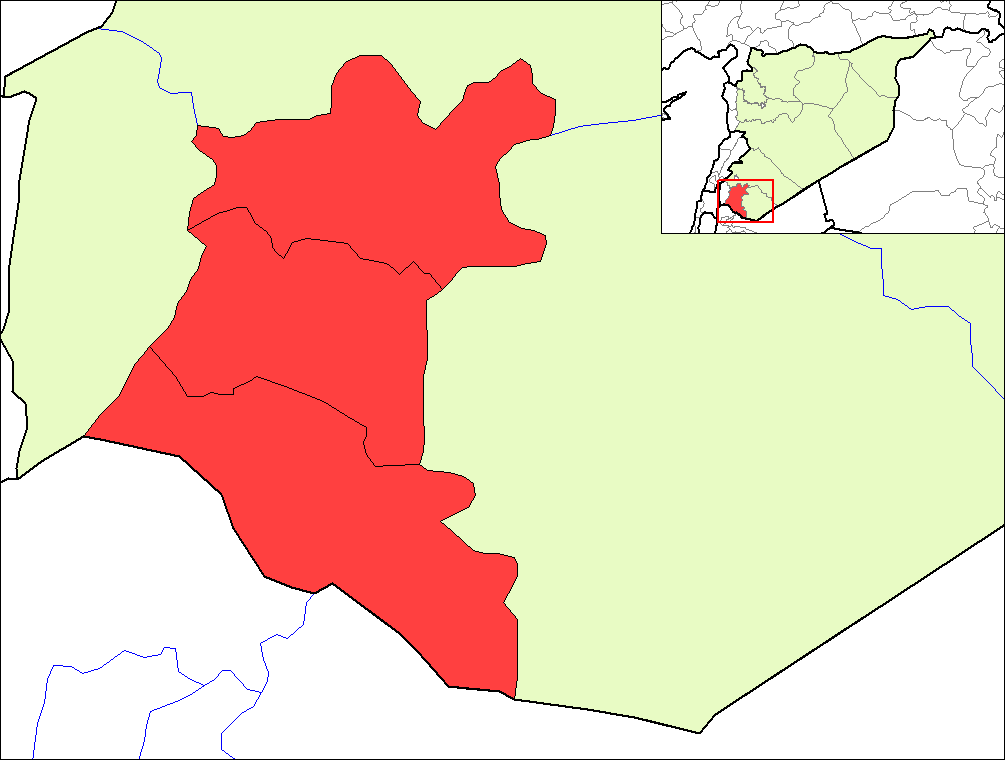
| Description | Map of the districts of Daraa governorate in Syria. | ||
| Date | |||
| Source | Created by Rarelibra 16:23, 8 May 2007 (UTC) for public domain use, using MapInfo Professional v8.5 and various mapping resources. | ||
| Author | Rarelibra | ||
| Permission (Reusing this file) |
|
File history
Click on a date/time to view the file as it appeared at that time.
| Date/Time | Thumbnail | Dimensions | User | Comment | |
|---|---|---|---|---|---|
| current | 19:24, 8 May 2007 | | 1,005 × 760 (20 KB) | Anas Salloum (talk | contribs) | modified with permission of original author |
| 16:23, 8 May 2007 |  | 1,056 × 816 (20 KB) | Rarelibra (talk | contribs) | Map of the districts of Daraa governorate in Syria. Created by ~~~~ for public domain use, using MapInfo Professional v8.5 and various mapping resources. |
You cannot overwrite this file.
File usage on Commons
The following 3 pages use this file:
File usage on other wikis
The following other wikis use this file:
- Usage on az.wikipedia.org
- Usage on ca.wikipedia.org
- Usage on en.wikipedia.org
- Usage on es.wikipedia.org
- Usage on fr.wikipedia.org
- Usage on hy.wikipedia.org
- Usage on ru.wikipedia.org
- Usage on sv.wikipedia.org
- Usage on www.wikidata.org