File:Detail of northeast pylon, looking northwest - Arlington Memorial Bridge, Boundary Channel Extension, Spanning Mount Vernon Memorial Highway and Boundary Channel, Washington, HAER DC,WASH,563-B-4.tif
Jump to navigation
Jump to search

Size of this JPG preview of this TIF file: 428 × 599 pixels. Other resolutions: 171 × 240 pixels | 343 × 480 pixels | 549 × 768 pixels | 732 × 1,024 pixels | 1,463 × 2,048 pixels | 3,749 × 5,246 pixels.
Original file (3,749 × 5,246 pixels, file size: 18.76 MB, MIME type: image/tiff)
Captions
Captions
Add a one-line explanation of what this file represents
Summary[edit]
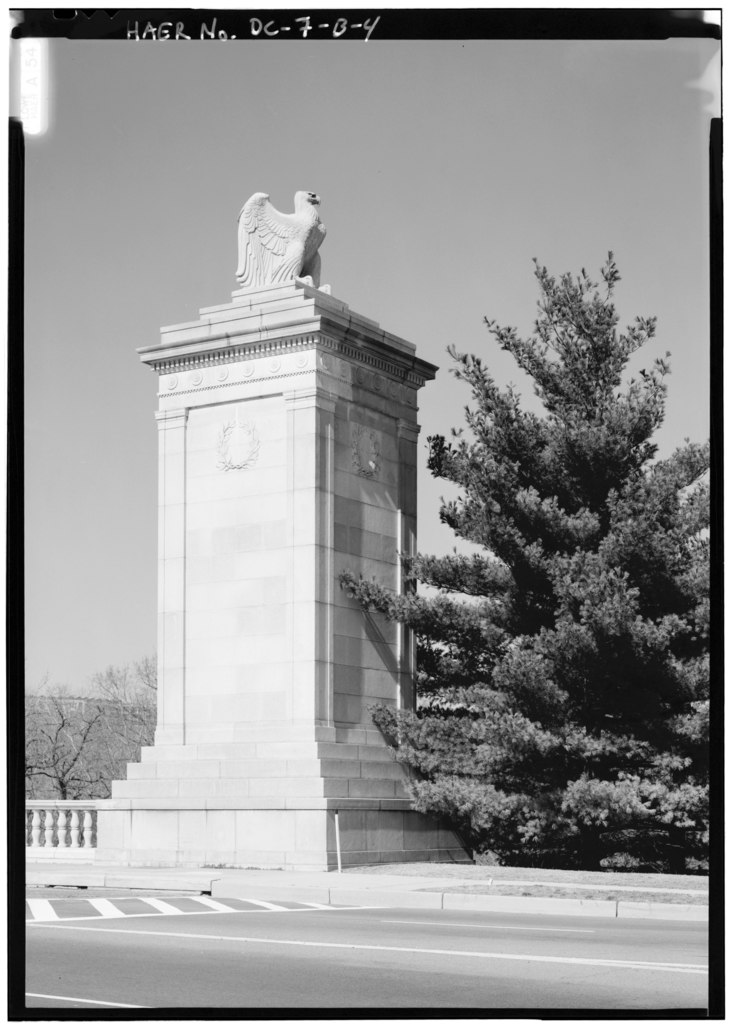
| Detail of northeast pylon, looking northwest - Arlington Memorial Bridge, Boundary Channel Extension, Spanning Mount Vernon Memorial Highway and Boundary Channel, Washington, District of Columbia, DC | ||||
|---|---|---|---|---|
| Photographer |
Lowe, Jet Related names:
|
|||
| Title |
Detail of northeast pylon, looking northwest - Arlington Memorial Bridge, Boundary Channel Extension, Spanning Mount Vernon Memorial Highway and Boundary Channel, Washington, District of Columbia, DC |
|||
| Depicted place | District of Columbia; District of Columbia; Washington | |||
| Date | 1989 | |||
| Dimensions | 5 x 7 in. | |||
| Current location |
Library of Congress Prints and Photographs Division Washington, D.C. 20540 USA http://hdl.loc.gov/loc.pnp/pp.print |
|||
| Accession number |
HAER DC,WASH,563-B-4 |
|||
| Credit line |
|
|||
| Notes |
|
|||
| Source | https://www.loc.gov/pictures/item/dc0633.photos.030233p | |||
| Permission (Reusing this file) |
|
|||

| Object location | | View this and other nearby images on: OpenStreetMap |
|---|
File history
Click on a date/time to view the file as it appeared at that time.
| Date/Time | Thumbnail | Dimensions | User | Comment | |
|---|---|---|---|---|---|
| current | 10:47, 10 July 2014 |  | 3,749 × 5,246 (18.76 MB) | Fæ (talk | contribs) | GWToolset: Creating mediafile for Fæ. HABS 08 July 2014 (701:800) |
You cannot overwrite this file.
File usage on Commons
The following page uses this file: