File:Dijon 10m.png
Jump to navigation
Jump to search

Size of this preview: 600 × 600 pixels. Other resolutions: 240 × 240 pixels | 480 × 480 pixels | 768 × 768 pixels | 1,024 × 1,024 pixels | 1,803 × 1,803 pixels.
Original file (1,803 × 1,803 pixels, file size: 2.21 MB, MIME type: image/png)
Captions
Captions
Add a one-line explanation of what this file represents
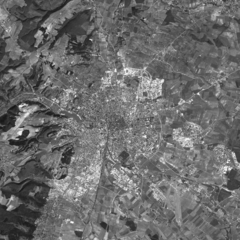
Dijon, 10m resolution
This image was generated by the NGA Raster Roam application, at coordinates 47.3239 5.0428.
This image is a work of the United States National Geospatial-Intelligence Agency or one of its predecessor agencies. As a work of the U.S. federal government, the image is in the public domain.
|
 |
File history
Click on a date/time to view the file as it appeared at that time.
| Date/Time | Thumbnail | Dimensions | User | Comment | |
|---|---|---|---|---|---|
| current | 22:49, 25 October 2005 | | 1,803 × 1,803 (2.21 MB) | David.Monniaux (talk | contribs) | Dijon, 10m resolution {{NGA Raster Roam|longitude=5.0428|latitude=47.3239}} |
You cannot overwrite this file.
File usage on Commons
The following page uses this file: