File:Dry stone wall disappearing under the grass - geograph.org.uk - 961086.jpg
Jump to navigation
Jump to search
No higher resolution available.
Dry_stone_wall_disappearing_under_the_grass_-_geograph.org.uk_-_961086.jpg (640 × 480 pixels, file size: 95 KB, MIME type: image/jpeg)
Captions
Captions
Add a one-line explanation of what this file represents
Summary[edit]
| Description |
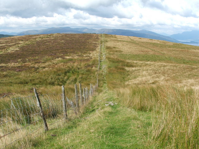
English: Dry stone wall disappearing under the grass This photograph was taken from near the trig point on Bromley Muir. The fence runs northwards towards the corner of an area of coniferous woodland; however, the much-diminished remains of a dry stone wall can also seen here, running parallel to the fence, although some parts of the wall have now become little more than a grass-covered ridge. |
| Date | |
| Source | From geograph.org.uk |
| Author | Lairich Rig |
| Attribution (required by the license) | Lairich Rig / Dry stone wall disappearing under the grass / |
| Camera location | | View this and other nearby images on: OpenStreetMap |
|---|
_heading:337.00&language=en)
| Object location | | View this and other nearby images on: OpenStreetMap |
|---|
_heading:337.00&language=en)
Licensing[edit]

|
This image was taken from the Geograph project collection. See this photograph's page on the Geograph website for the photographer's contact details. The copyright on this image is owned by Lairich Rig and is licensed for reuse under the Creative Commons Attribution-ShareAlike 2.0 license.
|
This file is licensed under the Creative Commons Attribution-Share Alike 2.0 Generic license.
Attribution: Lairich Rig
- You are free:
- to share – to copy, distribute and transmit the work
- to remix – to adapt the work
- Under the following conditions:
- attribution – You must give appropriate credit, provide a link to the license, and indicate if changes were made. You may do so in any reasonable manner, but not in any way that suggests the licensor endorses you or your use.
- share alike – If you remix, transform, or build upon the material, you must distribute your contributions under the same or compatible license as the original.
File history
Click on a date/time to view the file as it appeared at that time.
| Date/Time | Thumbnail | Dimensions | User | Comment | |
|---|---|---|---|---|---|
| current | 16:35, 22 February 2011 | | 640 × 480 (95 KB) | GeographBot (talk | contribs) | == {{int:filedesc}} == {{Information |description={{en|1=Dry stone wall disappearing under the grass This photograph was taken from near the trig point on Bromley Muir. The fence runs northwards towards the corner of an area of coniferous woodland; howeve |
You cannot overwrite this file.
File usage on Commons
There are no pages that use this file.