File:East Timor adm-2 location map.svg

Pradinė rinkmena (SVG rinkmena, formaliai 1 701 × 1 050 taškų, rinkmenos dydis: 114 KiB)
Captions
Captions
Aprašymas[keisti]
| Aprašymas |
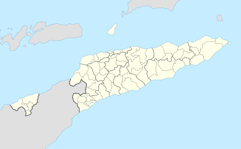
Deutsch: Positionskarte von Osttimor
English: Location map of East Timor
|
||||||||||||
| Data | |||||||||||||
| Šaltinis |
Own work using:
|
||||||||||||
| Autorius | NordNordWest | ||||||||||||
| Kitos versijos |
|
||||||||||||


|
This map has been made or improved in the German Kartenwerkstatt (Map Lab). You can propose maps to improve as well.
|
Licencija[keisti]
Usage of this file with:

explanatory notes: Legally binding is only the full legalcode. For a free usage I recommend to respect the following licence conditions:
1. Provide my name as given above: NordNordWest,
2. a copy of, or the URI for, the applicable license: https://creativecommons.org/licenses/by-sa/3.0/de/legalcode,
3. the title of the work,
4. in the case of an adaptation, a credit identifying the use of the work in the adaptation.
This license and the rights granted hereunder will terminate automatically upon any breach by you of the terms of this license. Any of the above conditions can be waived if you get permission from the copyright holder. If you have questions or wish differing conditions, please contact me through nnwest or my discussion page ![]() t-online.de
t-online.de
- Jūs galite:
- dalintis – kopijuoti, platinti bei persiųsti šį darbą
- pri(si)taikyti – adaptuoti darbą
- Su šiomis sąlygomis:
- autoriaus nurodymas – Turite pateikti atitinkamą kreditą, pateikti nuorodą į licenciją ir nurodyti, ar buvo atlikti pakeitimai. Tai galite padaryti bet kokiu būdu, bet ne taip, kad licencijos išdavėjas patvirtintų jus ar jūsų naudojimą.
- dalinkis panašiai – Jei perdirbsite, redaguosite ar atkursite šį darbą, jį galėsite platinti tik su tokia pačia ar panašia į šią licencija.

Rinkmenos istorija
Paspauskite ant datos/laiko, kad pamatytumėte rinkmeną tokią, kokia ji buvo tuo metu.
| Data/Laikas | Miniatiūra | Matmenys | Naudotojas | Paaiškinimas | |
|---|---|---|---|---|---|
| dabartinis | 07:56, 9 rugpjūčio 2017 | | 1 701 × 1 050 (114 KiB) | NordNordWest (aptarimas | indėlis) | == {{int:filedesc}} == {{Information |Description= {{de|1=Positionskarte von Osttimor}} {{en|1=Location map of East Timor}} {{Location map series N |stretching=101 |top=-7.8 |bottom=-10.0 |left=123.9 |right=127.5 }} |Source={{Own using}} * United State... |
Jūs negalite perrašyti šios rinkmenos.
Rinkmenos naudojimas
Šie puslapiai naudoja šią rinkmeną:
Visuotinis rinkmenos naudojimas
Ši rinkmena naudojama šiose viki svetainėse:
- Naudojama af.wikipedia.org
- Naudojama an.wikipedia.org
- Naudojama ar.wikipedia.org
- Naudojama ast.wikipedia.org
- Naudojama az.wikipedia.org
- Naudojama ba.wikipedia.org
- Naudojama bcl.wikipedia.org
- Naudojama be-tarask.wikipedia.org
- Naudojama be.wikipedia.org
- Naudojama bg.wikipedia.org
- Naudojama bn.wikipedia.org
- Naudojama bs.wikipedia.org
- Naudojama ceb.wikipedia.org
Žiūrėti visuotinį šios rinkmenos naudojimą.