File:Egypt Sinai location map.svg
跳转到导航
跳转到搜索

此SVG文件的PNG预览的大小:376 × 600像素。 其他分辨率:150 × 240像素 | 301 × 480像素 | 481 × 768像素 | 642 × 1,024像素 | 1,284 × 2,048像素 | 499 × 796像素。
原始文件 (SVG文件,尺寸为499 × 796像素,文件大小:219 KB)
说明
说明
添加一行文字以描述该文件所表现的内容
摘要
[编辑]| 描述 |
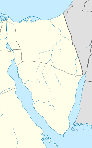
Quadratische Plattkarte, N-S-Streckung 115 %. Geographische Begrenzung der Karte:
Equirectangular projection, N/S stretching 115 %. Geographic limits of the map:
|
|
| 日期 | ||
| 来源 |
自己的作品, using
|
|
| 作者 | NordNordWest | |
| 授权 (二次使用本文件) |
本文件采用知识共享署名-相同方式共享 3.0 德国许可协议授权。
 本文件采用知识共享署名-相同方式共享 3.0 德国许可协议授权。
|


|
|
文件历史
点击某个日期/时间查看对应时刻的文件。
| 日期/时间 | 缩略图 | 大小 | 用户 | 备注 | |
|---|---|---|---|---|---|
| 当前 | 2010年2月23日 (二) 19:12 | | 499 × 796(219 KB) | NordNordWest(留言 | 贡献) | =={{int:filedesc}}== {{Information |Description= {{de|Positionskarte der Sinai-Halbinsel, Ägypten}} Quadratische Plattkarte, N-S-Streckung 115 %. Geographische Begrenzung der Karte: * N: 31.7° N * S: 27.4° N * W |
您不可以覆盖此文件。
文件用途
以下页面使用本文件:
全域文件用途
以下其他wiki使用此文件:
- ar.wikipedia.org上的用途
- azb.wikipedia.org上的用途
- az.wikipedia.org上的用途
- ba.wikipedia.org上的用途
- bg.wikipedia.org上的用途
- bh.wikipedia.org上的用途
- ceb.wikipedia.org上的用途
- ckb.wikipedia.org上的用途
- cs.wikipedia.org上的用途
- da.wikipedia.org上的用途
- de.wikipedia.org上的用途
- de.wikivoyage.org上的用途
查看此文件的更多全域用途。