File:English Channel location map.svg

Původní soubor (soubor SVG, nominální rozměr: 955 × 665 pixelů, velikost souboru: 178 KB)
Popisky
Popisky
Popis
[editovat]| Popis |
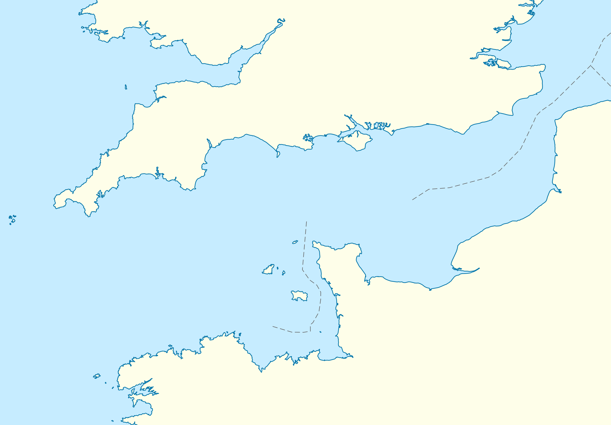
Deutsch: Positionskarte der Ärmelkanals
Quadratische Plattkarte, N-S-Streckung 155 %. Geographische Begrenzung der Karte:
English: Location map of the English Channel
Equirectangular projection, N/S stretching 155 %. Geographic limits of the map:
|
|
| Datum | ||
| Zdroj | own work, using United States National Imagery and Mapping Agency data | |
| Autor | NordNordWest | |
| Svolení (Užití tohoto souboru) |
Tento soubor podléhá licenci Creative Commons Uveďte autora-Zachovejte licenci 3.0 Německo
 Tento soubor podléhá licenci Creative Commons Uveďte autora-Zachovejte licenci 3.0 Unported.
|
|
| Další verze | Díla odvozená od tohoto souboru: Condor ferries route map.svg |


|
Tato mapa byla vytvořena nebo vylepšena v německé Kartenwerkstatt (Mapová laboratoř). Můžete také navrhnout mapy k vylepšení.
|
Historie souboru
Kliknutím na datum a čas se zobrazí tehdejší verze souboru.
| Datum a čas | Náhled | Rozměry | Uživatel | Komentář | |
|---|---|---|---|---|---|
| současná | 1. 10. 2010, 16:55 | | 955 × 665 (178 KB) | NordNordWest (diskuse | příspěvky) | upd |
| 28. 9. 2010, 19:07 |  | 955 × 665 (178 KB) | NordNordWest (diskuse | příspěvky) | == {{int:filedesc}} == {{Information |Description= {{de|Positionskarte der Ärmelkanals}} Quadratische Plattkarte, N-S-Streckung 155 %. Geographische Begrenzung der Karte: * N: 52.0° N * S: 48.0° N * W: 6.5° W * O: 2.4° O {{en|Loca |
Tento soubor nemůžete přepsat.
Využití souboru
Na Commons na soubor odkazují tyto stránky:
- La Manche - English Channel
- User:NordNordWest/Gallery/Location maps
- File:Bailiwick of Guernsey in the English Channel.svg
- File:Condor ferries route map.svg
- File:The Bailiwick of Guernsey in the English Channel.svg
- Category:English Channel
- Category:Islands of the English Channel
- Category:Lighthouses of the English Channel
- Category:Tributaries of the English Channel
Globální využití souboru
Tento soubor využívají následující wiki:
- Využití na an.wikipedia.org
- Využití na ar.wikipedia.org
- Využití na az.wikipedia.org
- Využití na ba.wikipedia.org
- Využití na bew.wikipedia.org
- Využití na bn.wikipedia.org
- Využití na ceb.wikipedia.org
- Využití na ce.wikipedia.org
- Využití na cs.wikipedia.org
- Využití na de.wikipedia.org
- Využití na de.wikivoyage.org
- Využití na en.wikipedia.org
- Guernsey
- Sark
- Alderney
- Bailiwick of Guernsey
- Operation Biting
- Battle of Dover Strait (1917)
- Operation Jericho
- Bugaled Breizh
- Module:Location map/data/United Kingdom Channel Islands/doc
- White House (Herm)
- La Sablonnerie
- Armin Faber
- User:Keith-264/sandbox5
- Module:Location map/data/English Channel
- Template:Bailiwick of Guernsey location map
- Template:Bailiwick of Guernsey location map/doc
- Module:Location map/data/United Kingdom Channel Islands
- English Channel migrant crossings (2018–present)
- 2019 English Channel Piper PA-46 crash
- Jersey Bulls F.C.
- Wikipedia talk:WikiProject Military history/Archive 155
- November 2021 English Channel disaster
- Module:Location map/data/English Channel/doc
Zobrazit další globální využití tohoto souboru.